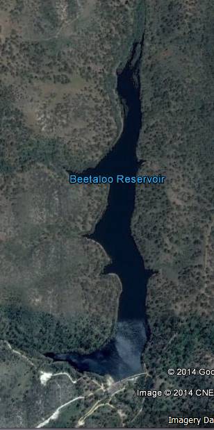
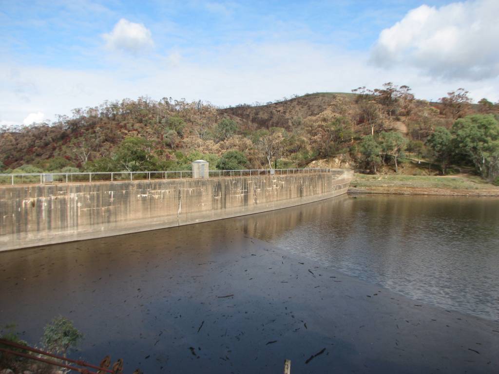
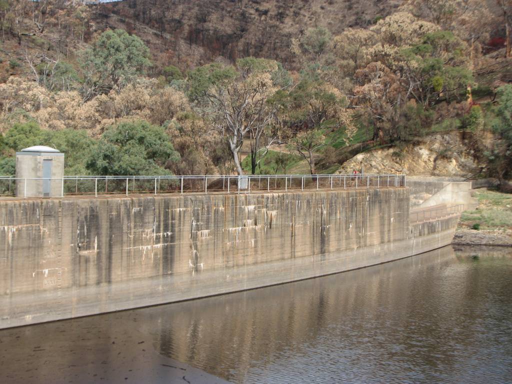
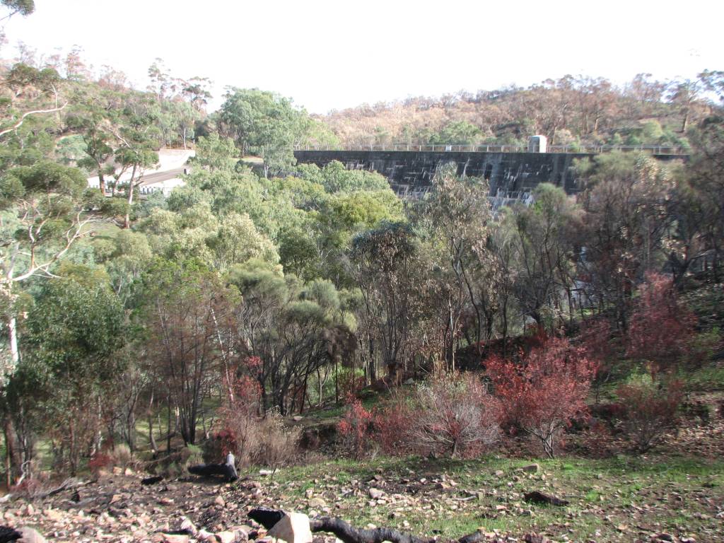
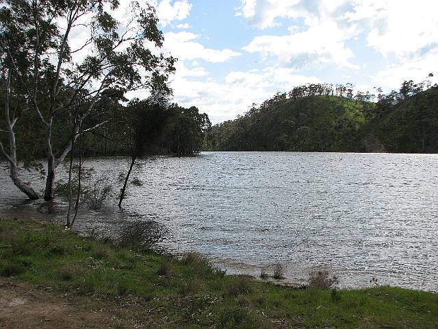
I decided to visit the reservoir on 2016/10/18 because the recent rains would
have filled it; in most years there is not enough run-off for it to fill.
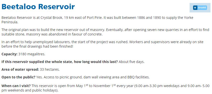
I looked up the Net page to check that it would be open to the public (it
has been open to the public during the non fire-ban season, so far as I know
for the last several years, and this was outside the fire-ban season).
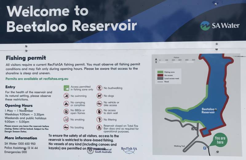
The Net page (a part of which is shown on the right) said it was open.
So I drove to the reservoir.
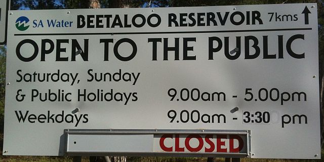
I came across the sign shown on the right 7 kilometres before the reservoir; again, it
said that the reservoir was open, but then it said that
it was closed as well as open (it brings to mind Schrodinger's cat doesn't it).
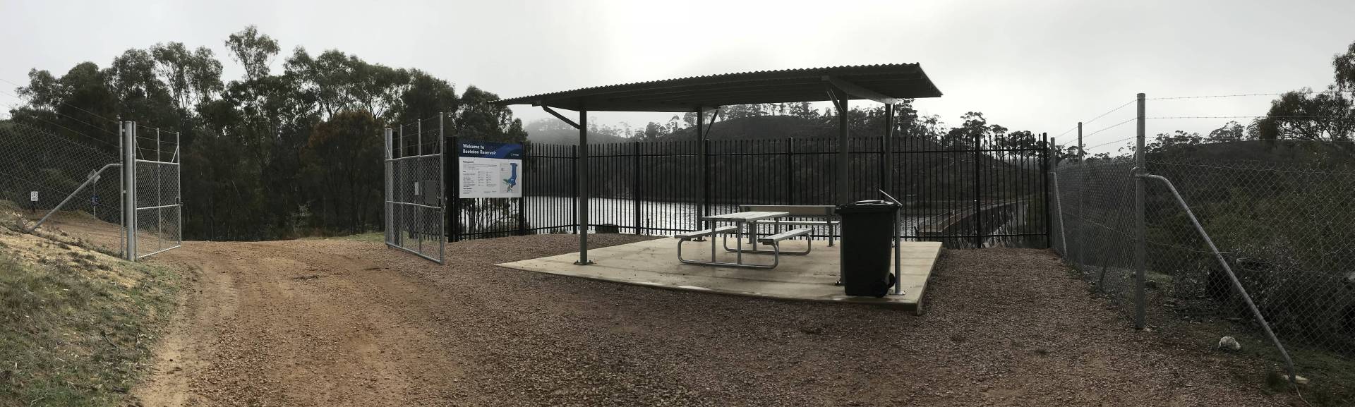
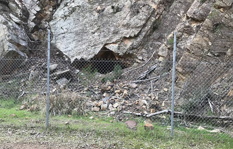
I continued on until I came to a closed gate.
I asked a bloke who was with a team doing some fencing on the far side of the
gate what the story was.
He told me that SA Water were working on the road into the reservoir and that
the area was closed to the public while the work was done.
| |
This section added
2021/11/02
|
|
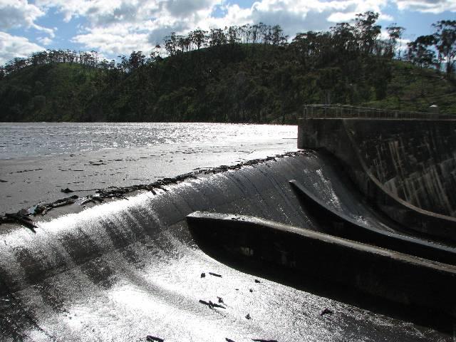
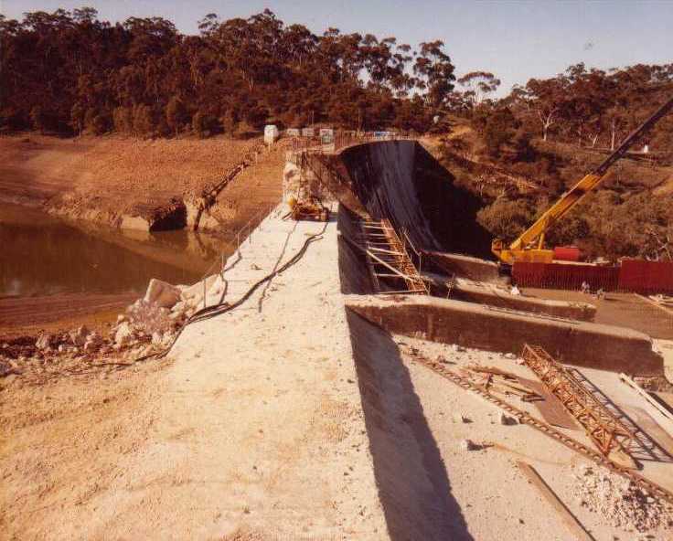
On 2021/11/01 many people in Crystal Brook (myself included) were surprised to see water flowing in the brook on the upstream side of the town.
Apparently this was due to a release of water from the Beetaloo reservoir to give some relief to the many red gums lining the brook. They had suffered from decreasing flows down the brook for many years.
Starting in 1989 and continuing until my retirement in 2003 (from the groundwater division of the Department of Mines and Energy) I monitored the flow and salinity of the Crystal Brook at
Bowman Park, about five kilometres upstream of the town of Crystal Brook.
Unfortunately, while I recorded the flow rates, they seem not to be available on the
WaterConnect site. (The Unit Numbers of the sampling points are 6531-1284 and 6531-1285.) The salinity increased by around 20% over the period.
From memory, during at least the earlier part of that time there was typically a flow of about three litres per second even in late summer. By 2010 (or earlier) summer flows had ceased. By the time of writing this section even winter flows in Bowman Park were unusual and there was only one small pond in the summer.
There is no doubt in my mind that the decreased flow and increasing salinity are due to climate change.