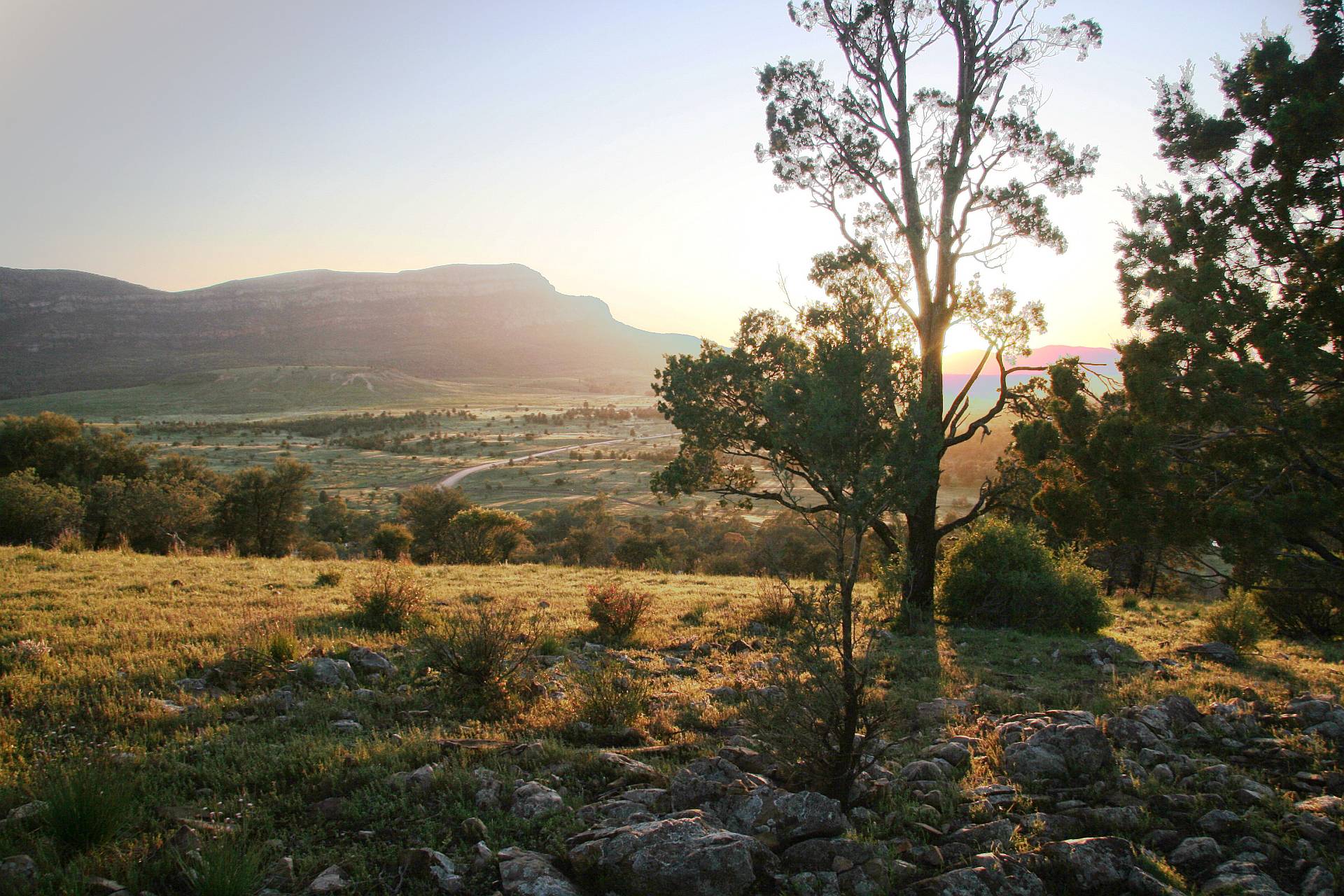
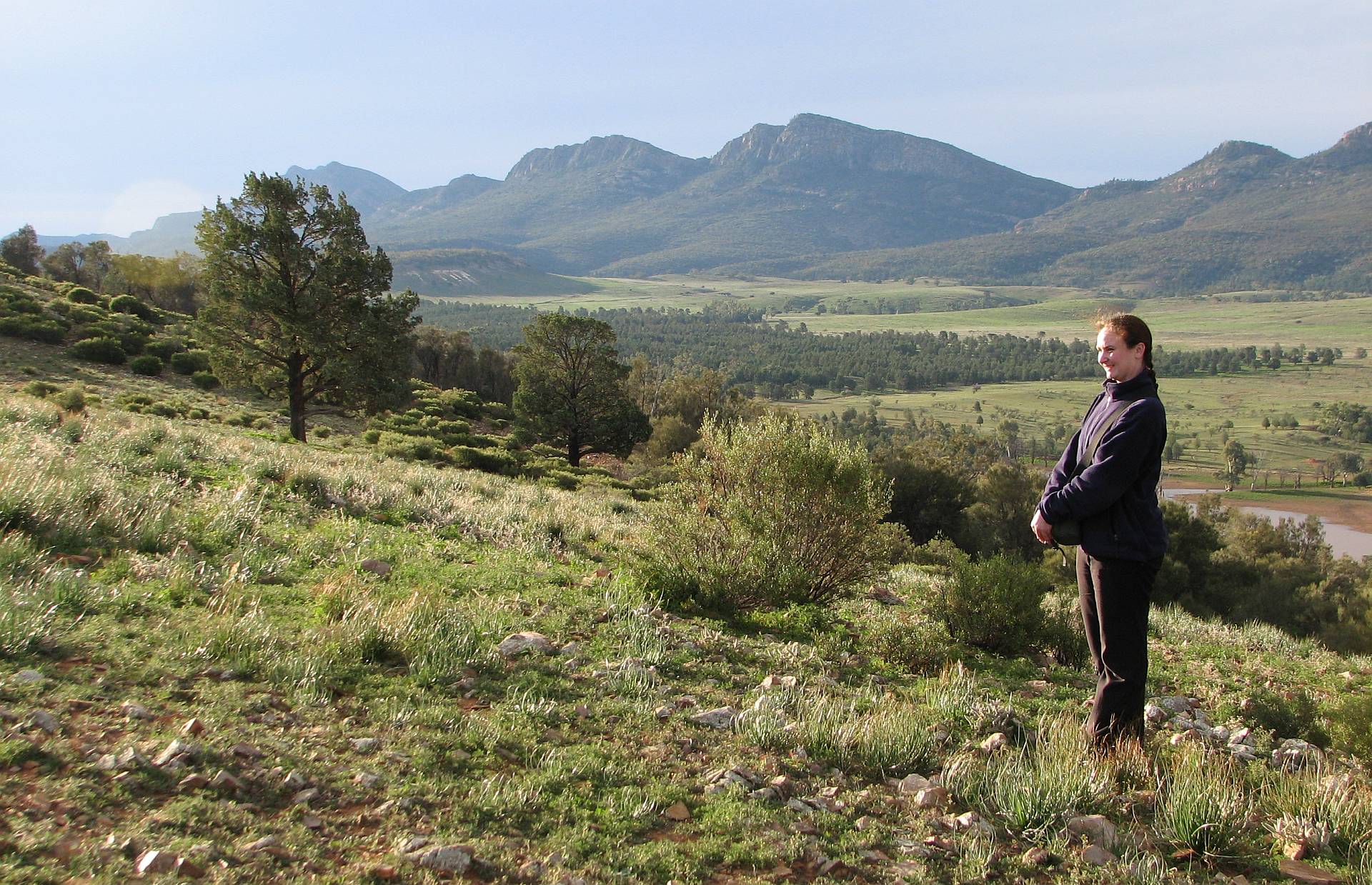
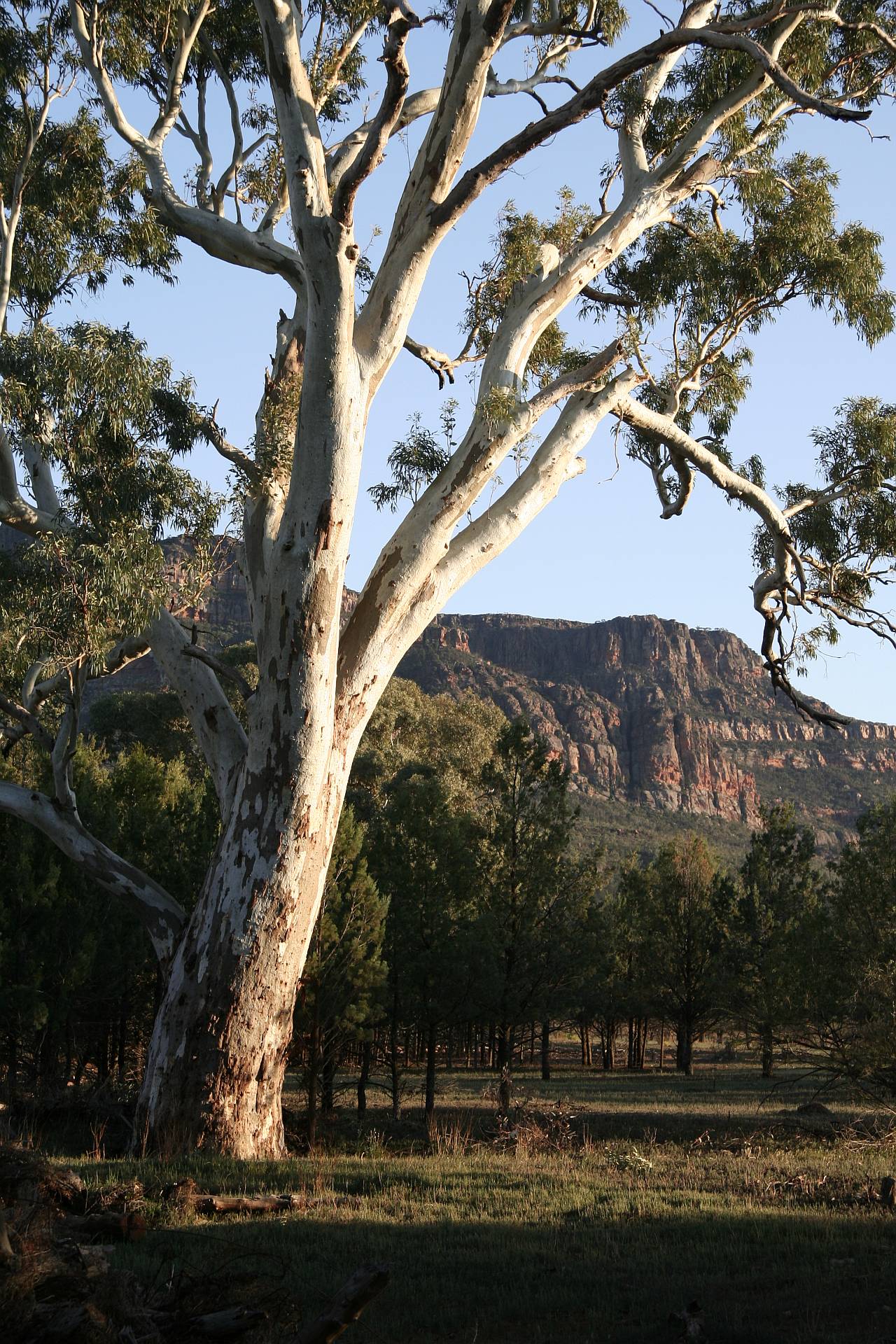
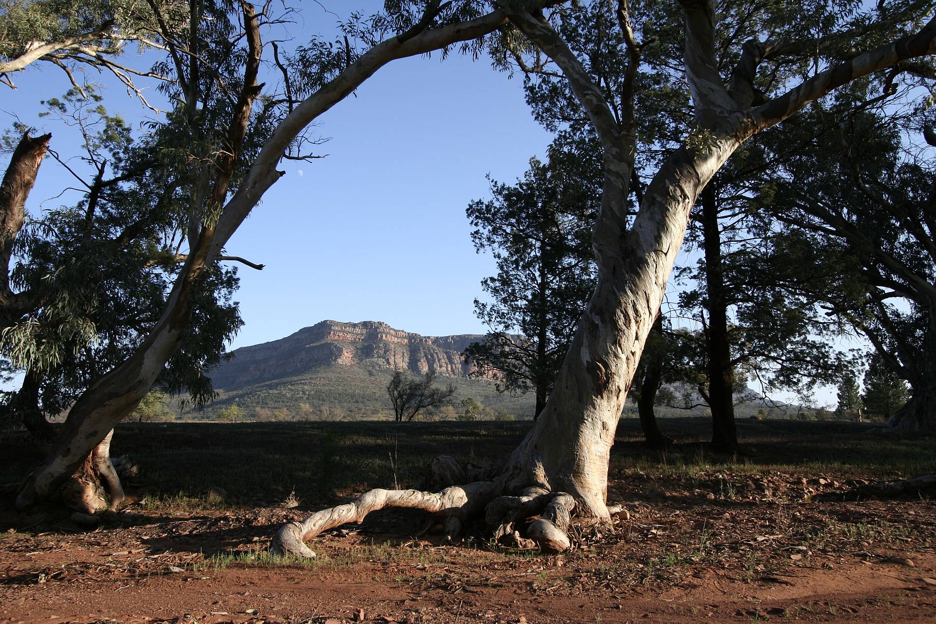
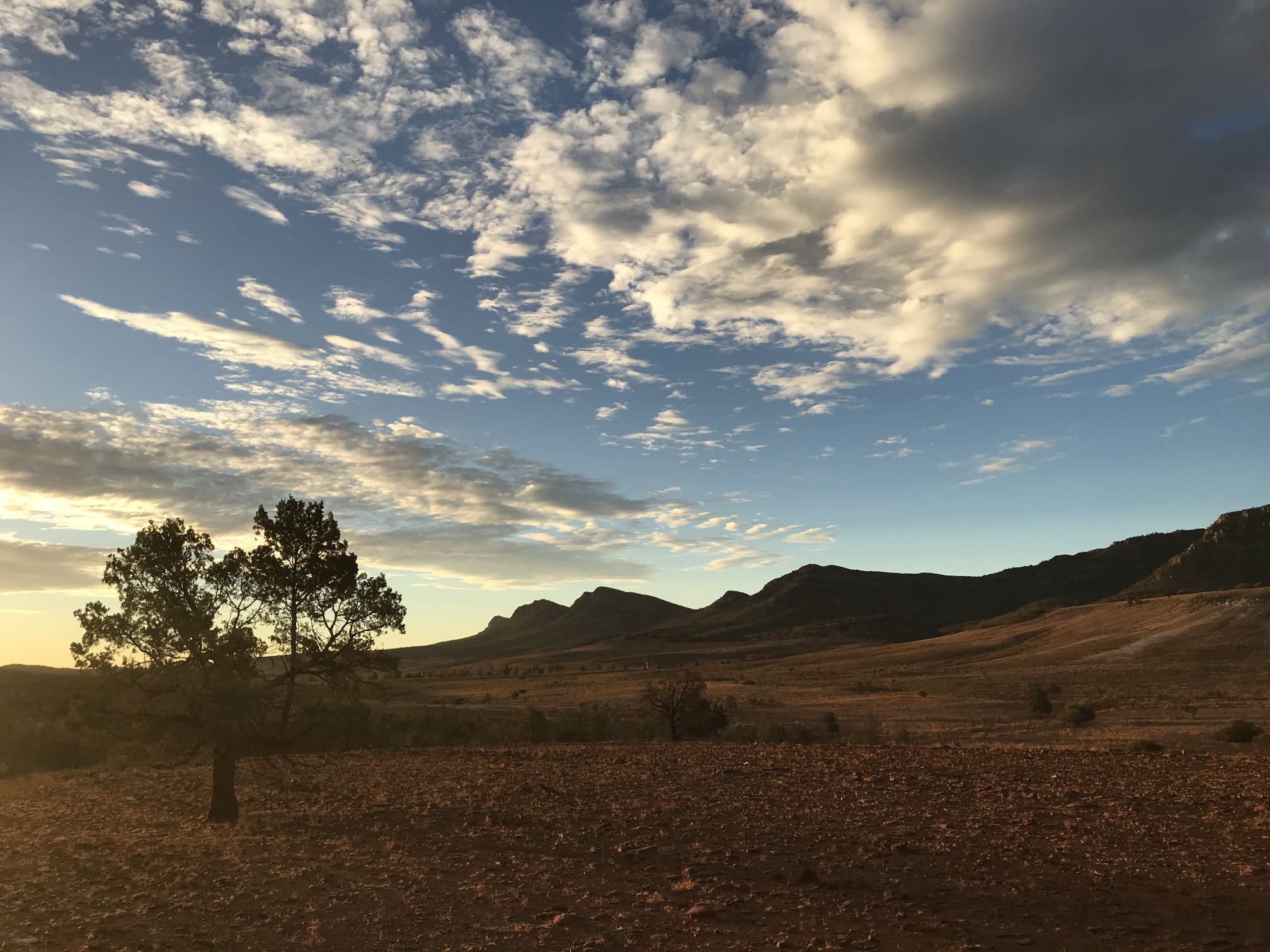
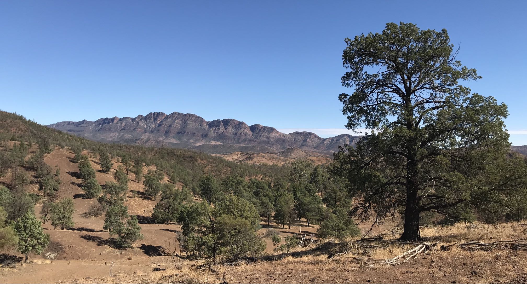
Station Lookout is within easy walking distance from Rawnsley Caravan Park. It's a good place to go and watch the sun go down.
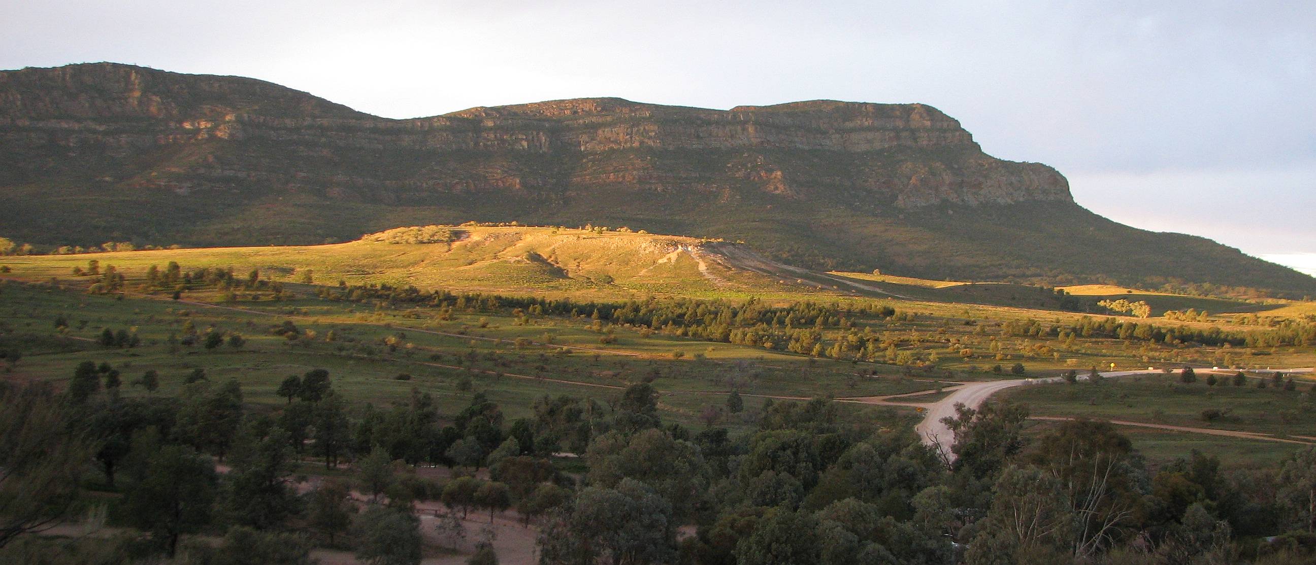
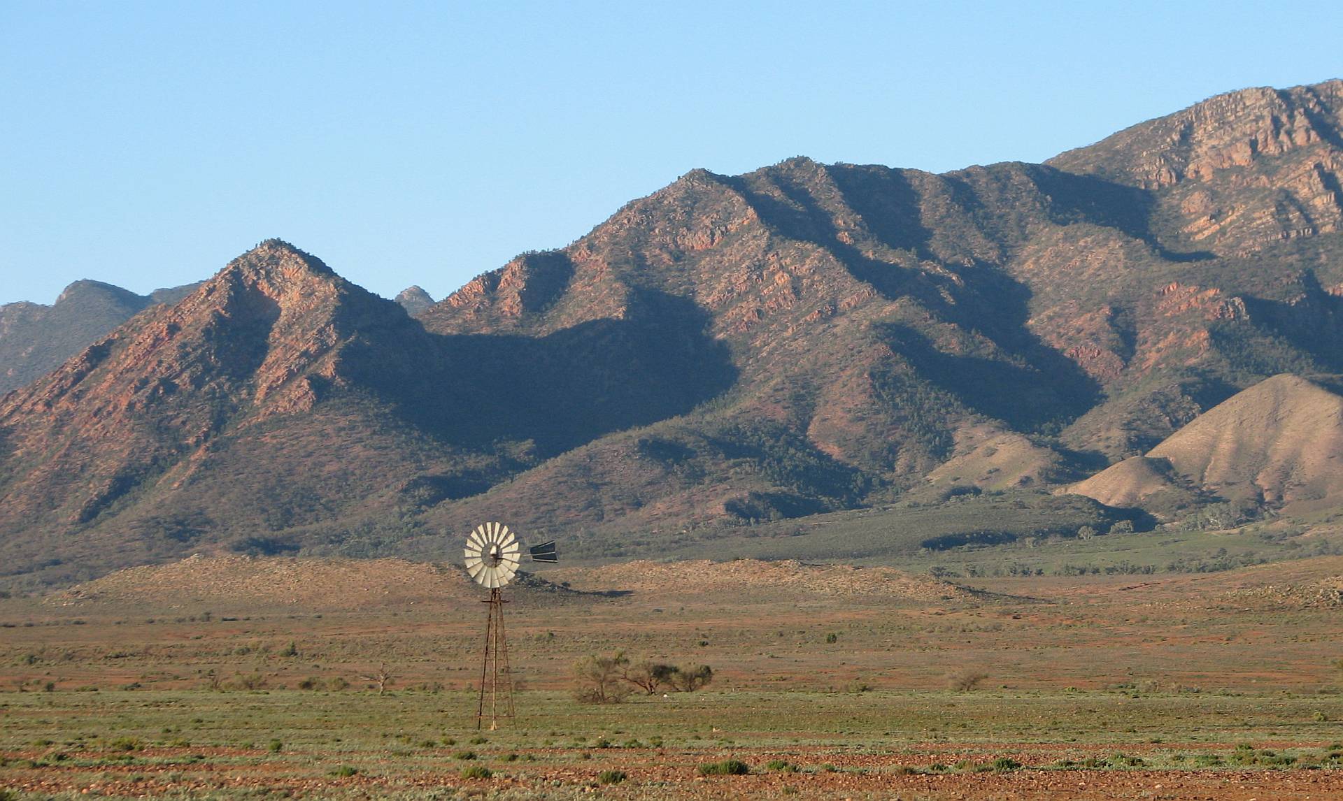
The western section of Wilpena Pound is in the background, the highest point being Pompey Pillar.
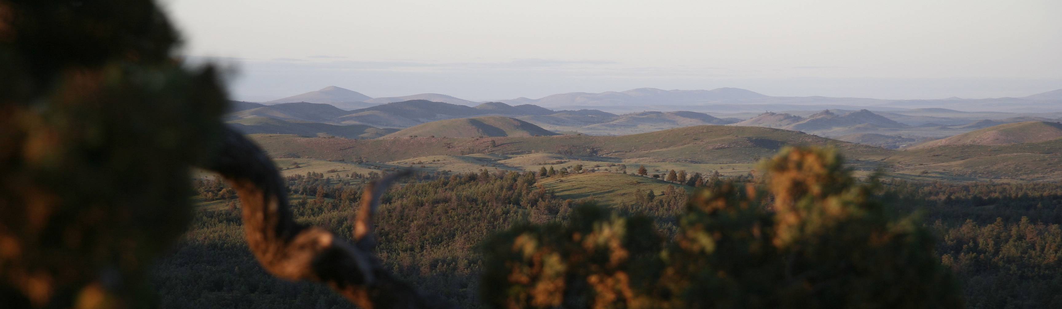
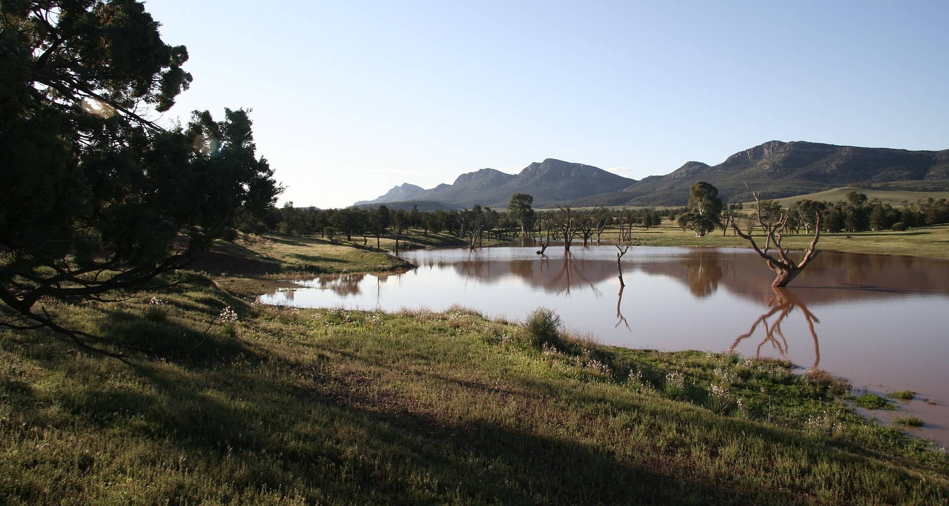
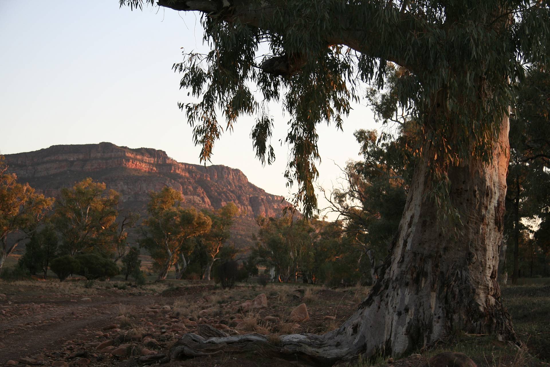
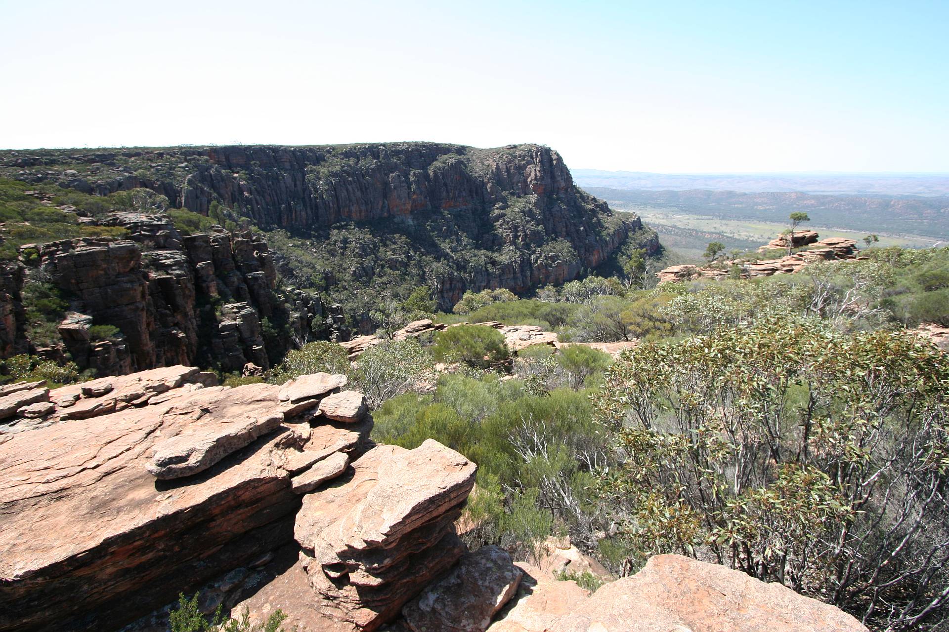
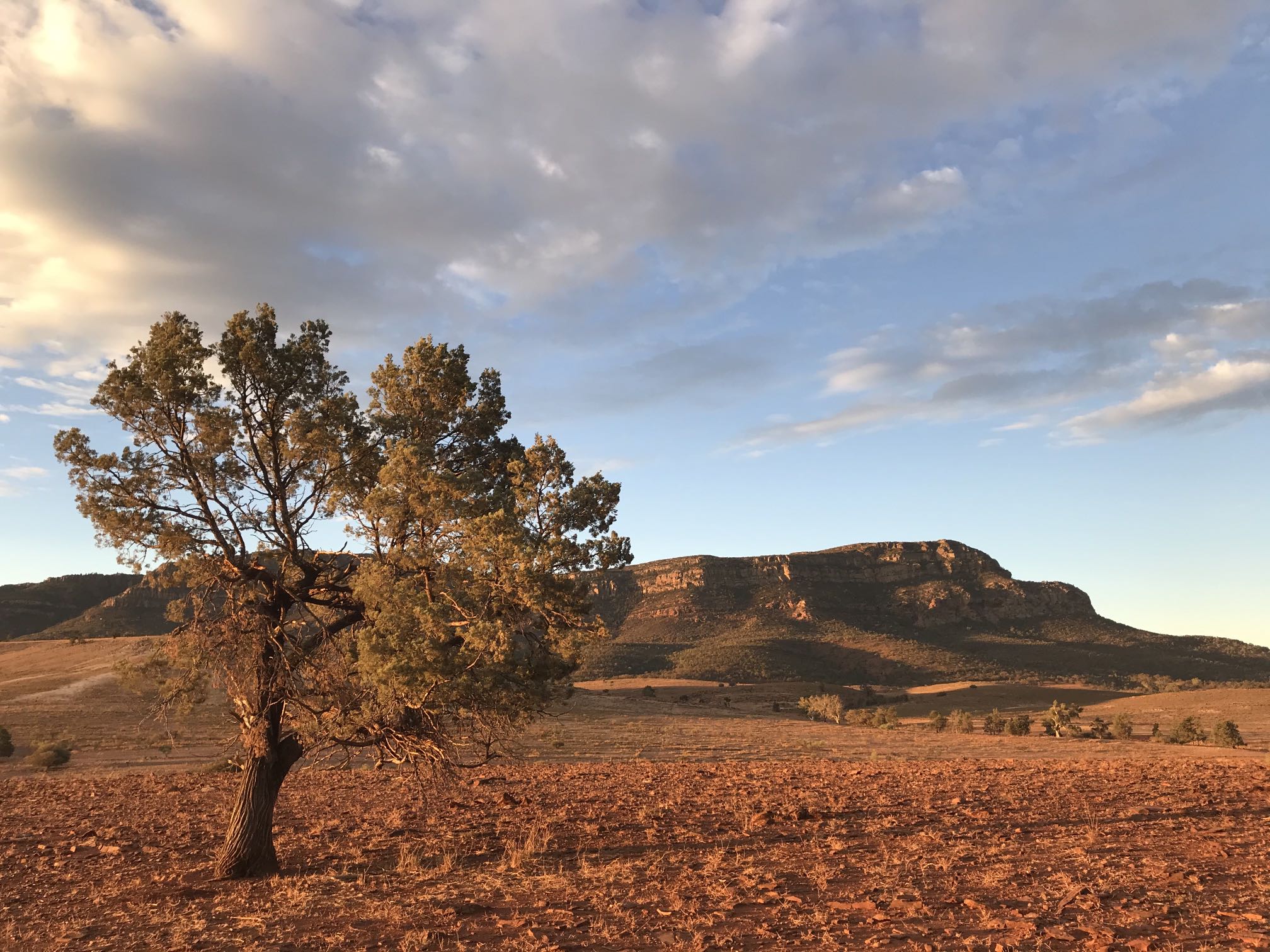
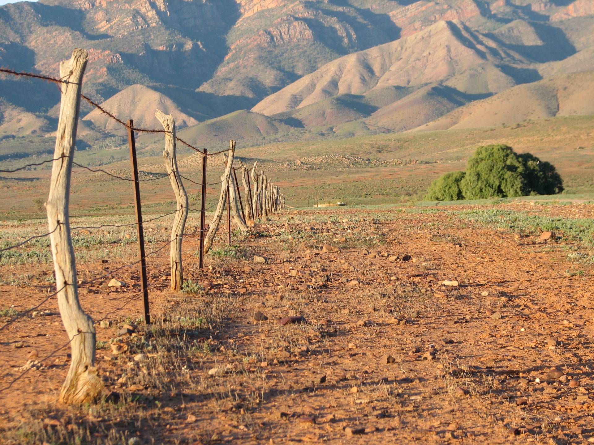
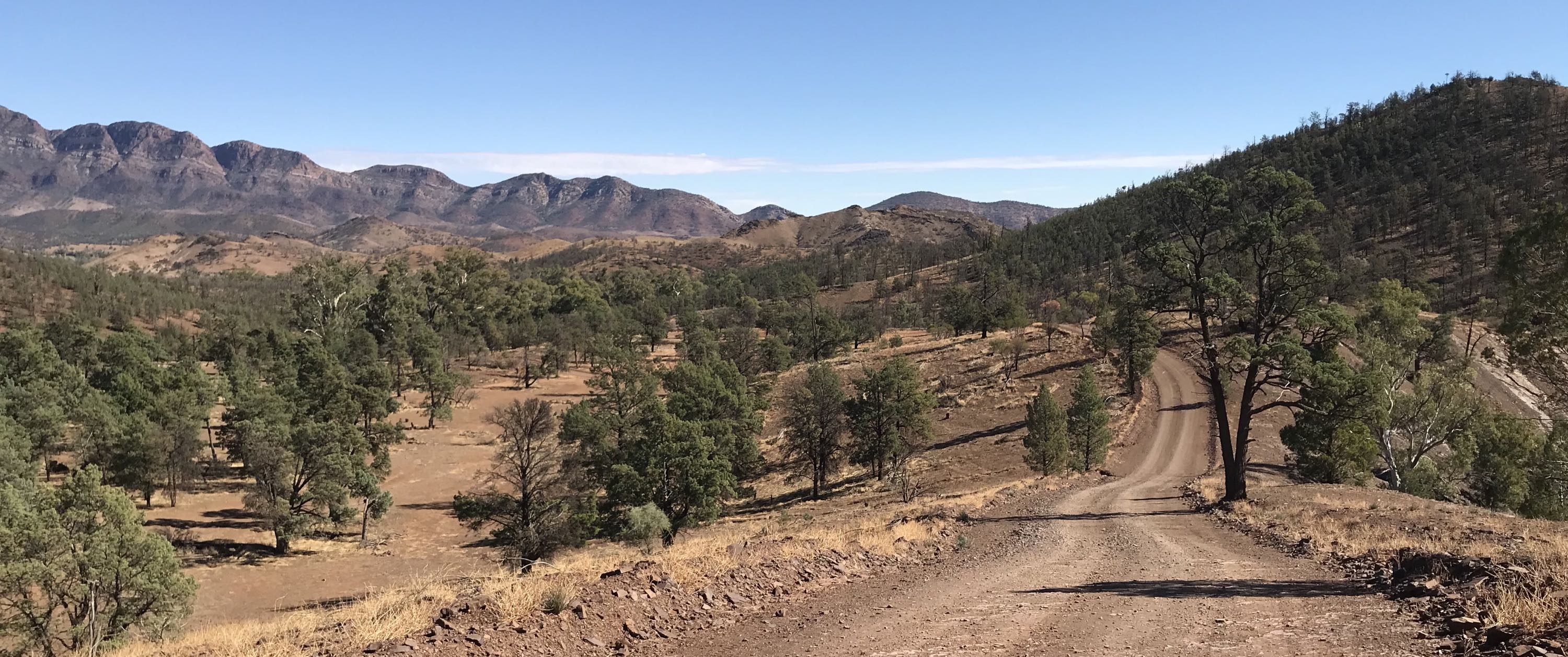
Also from Rawnsley Station Lookout, this time looking toward Rawnsley Bluff at the southeastern end of the Pound.
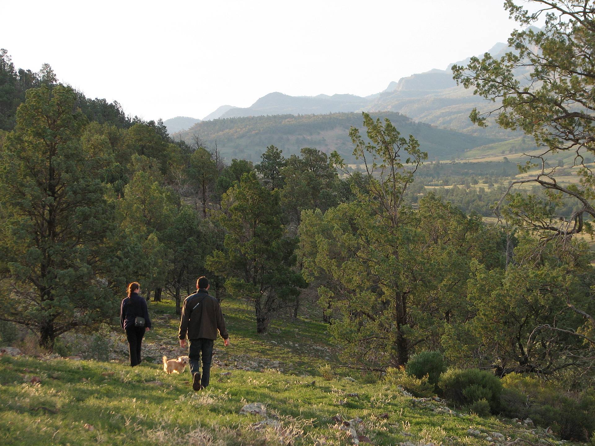
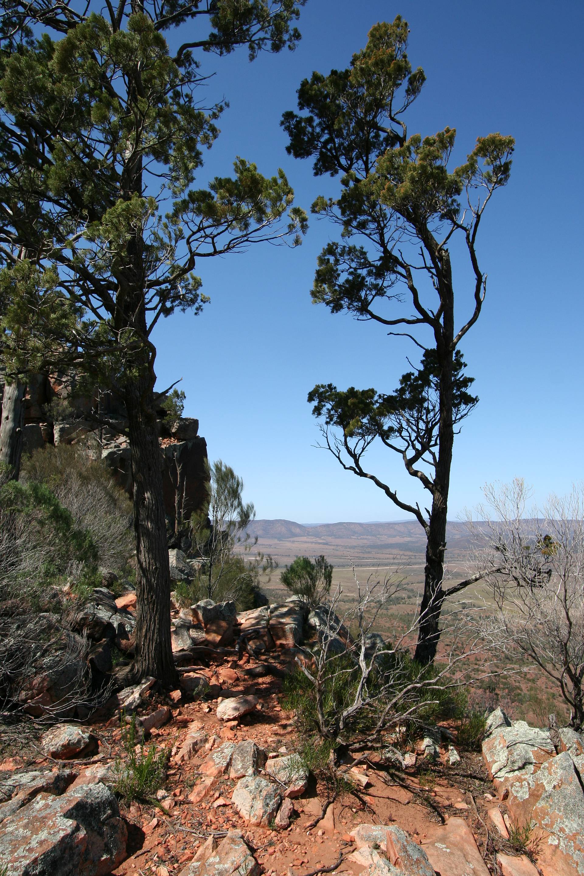
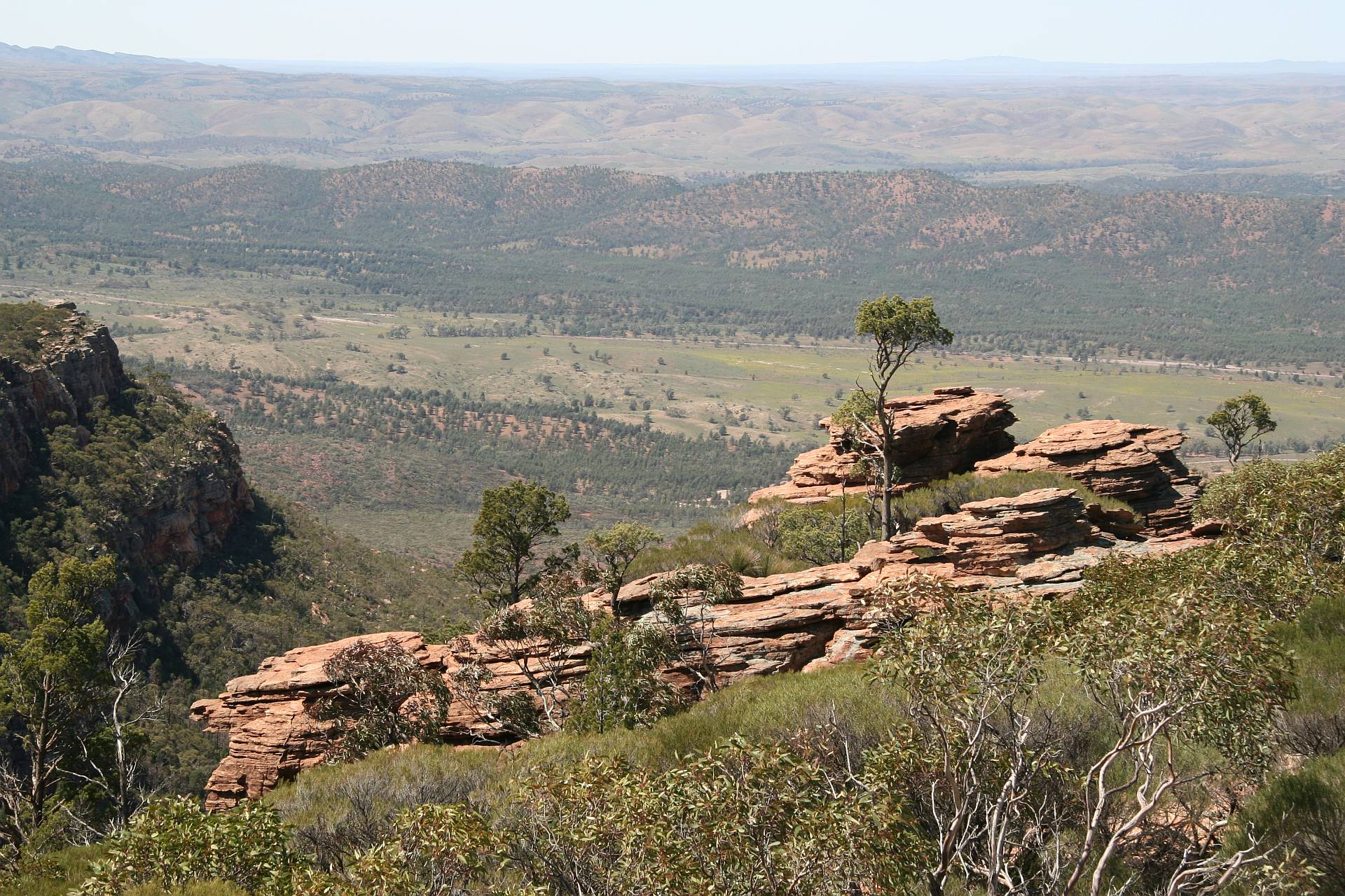
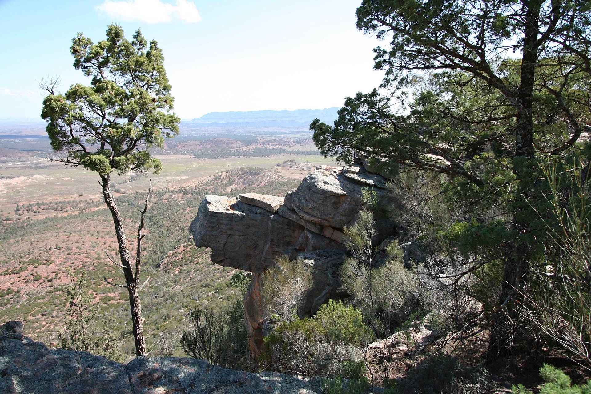
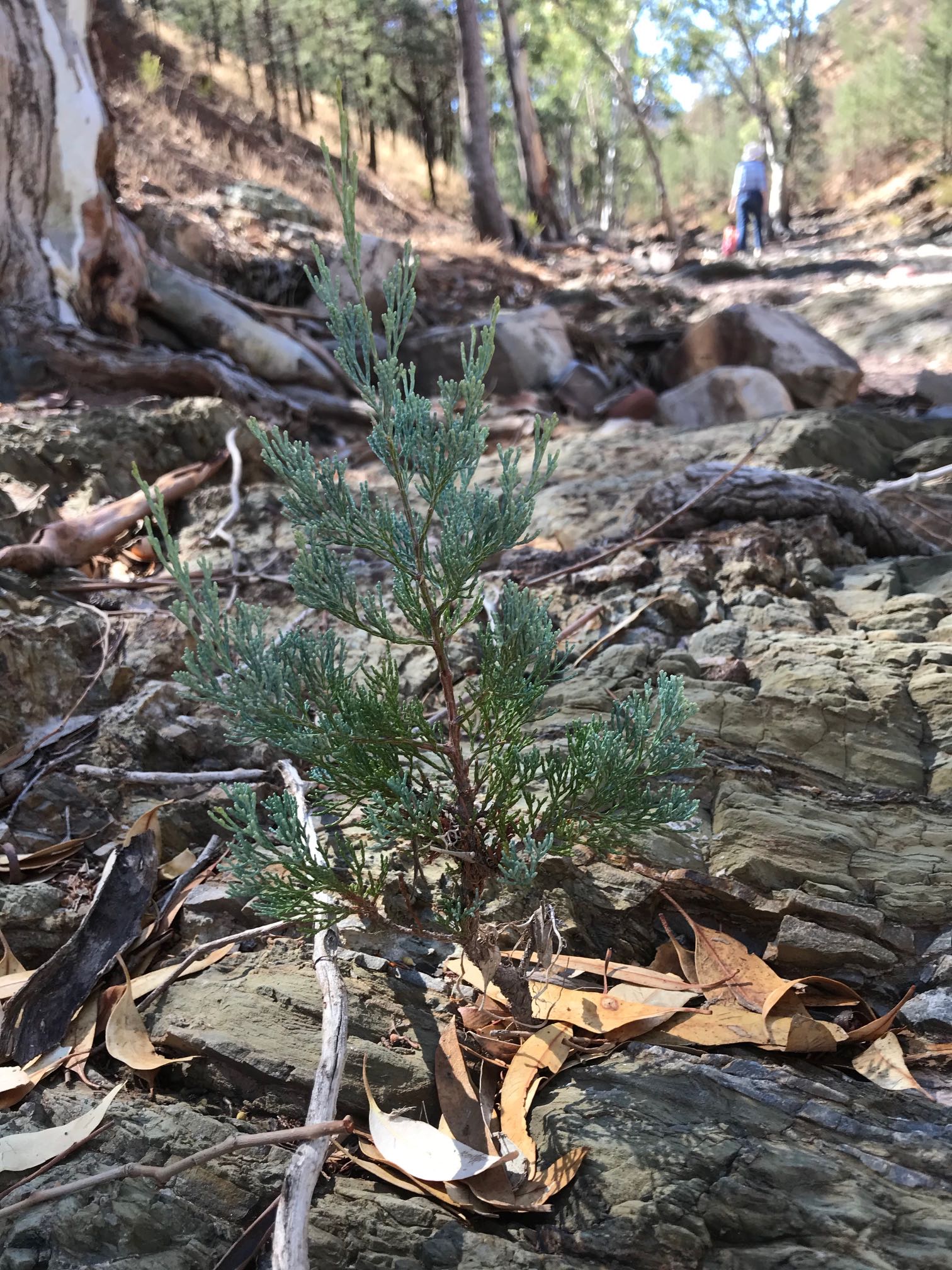
One of the more healthy of the Callitris trees in the foreground; many in the area were far from healthy.
The Rawnsley Park people had attempted to plant perhaps thirty or so trees around the lookout, with very little success.
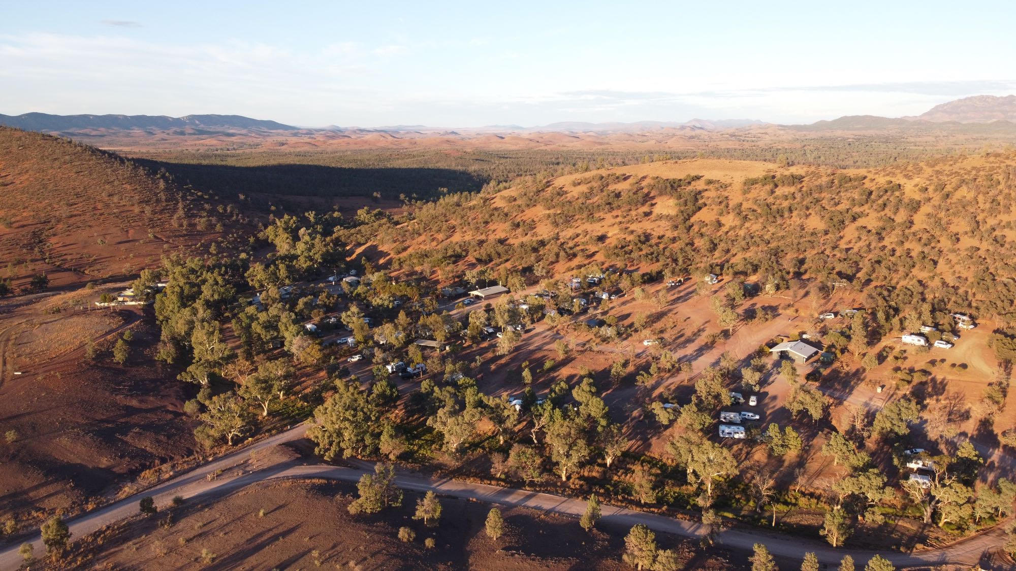
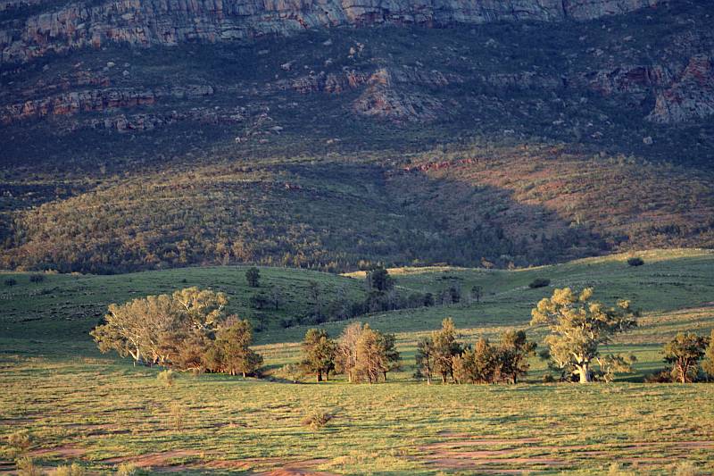
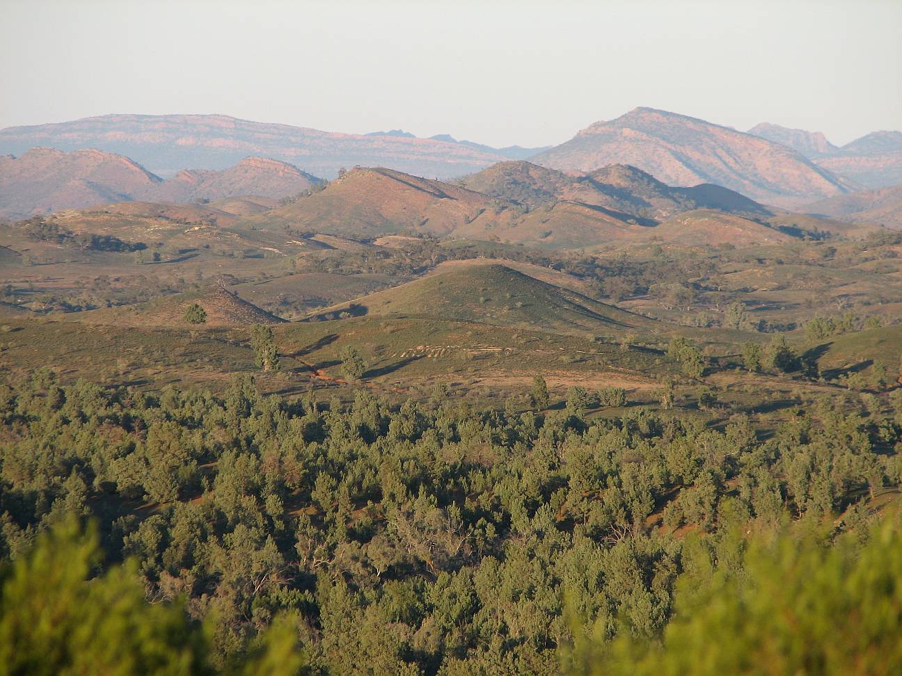
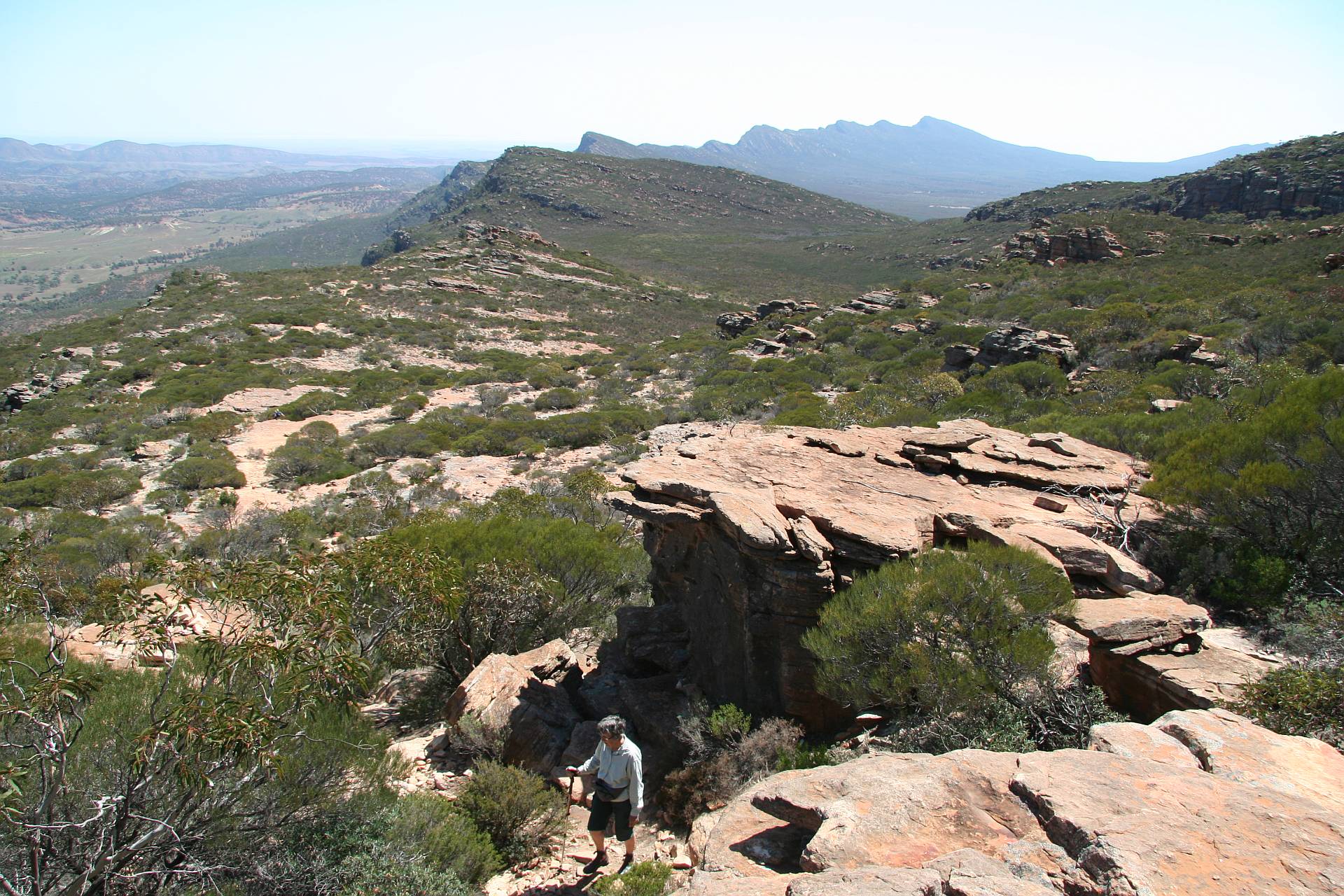
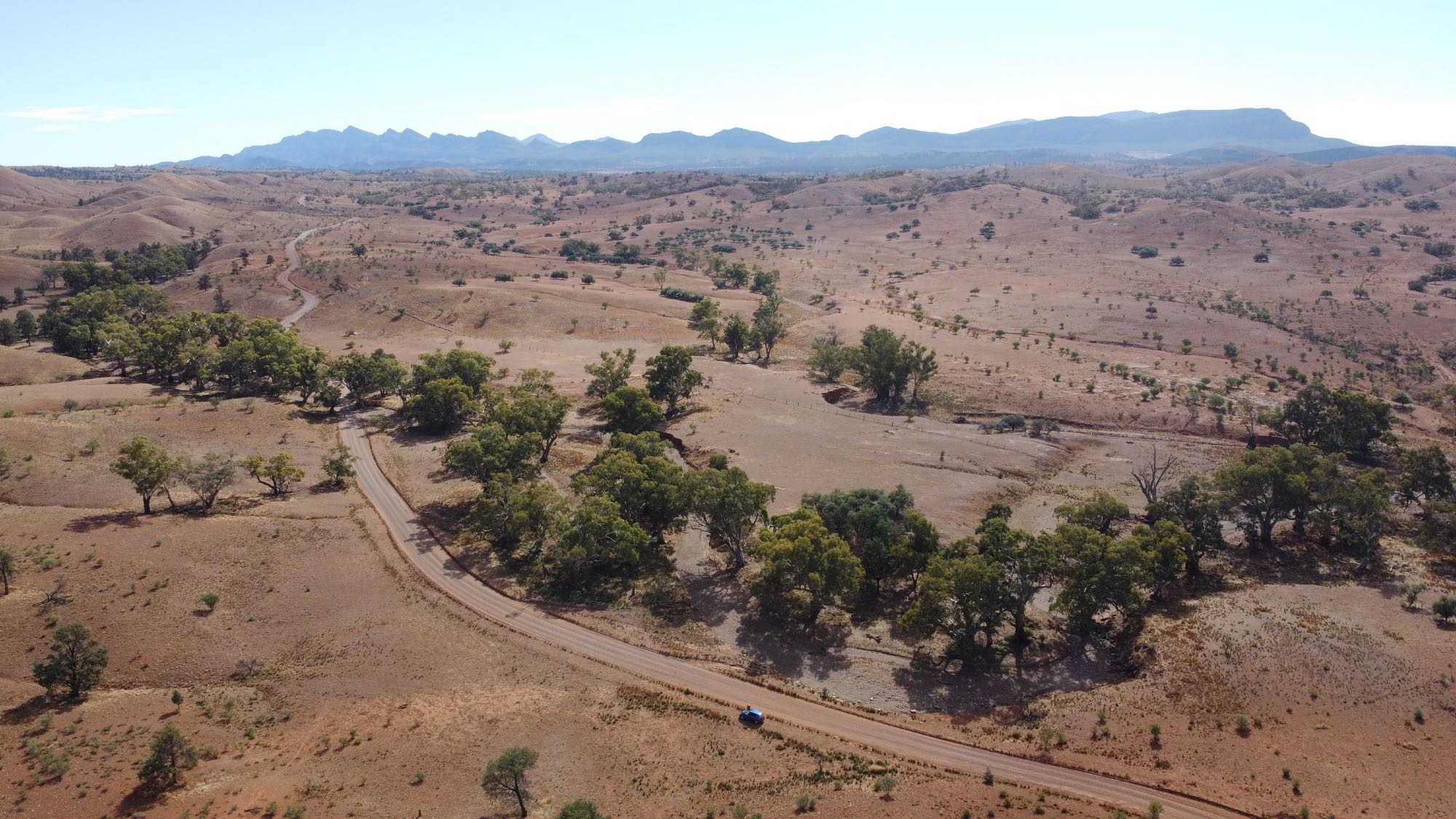
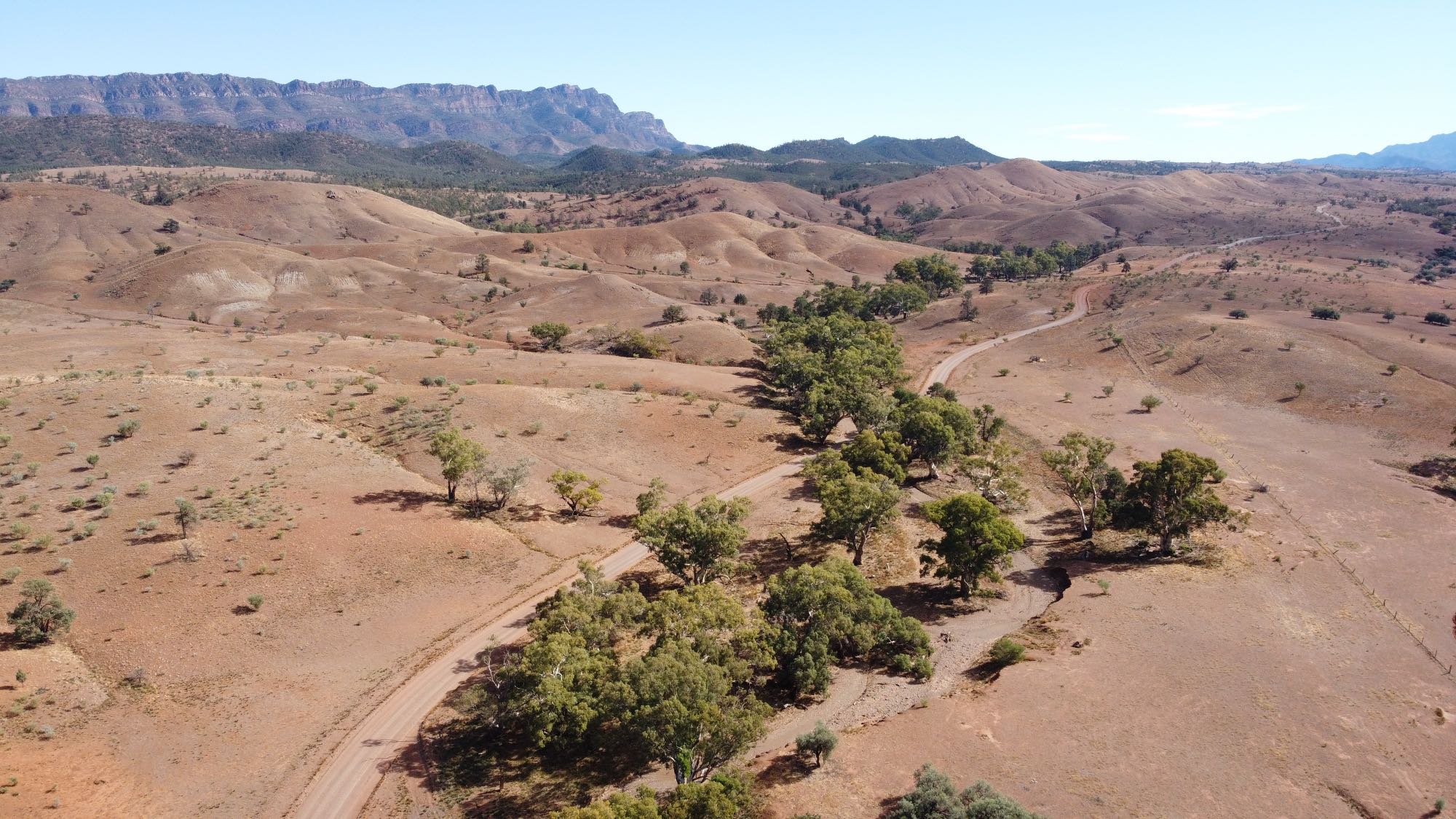
Drone photo taken from near the eastern end of the Moralana Creek road, 2021/05/05.
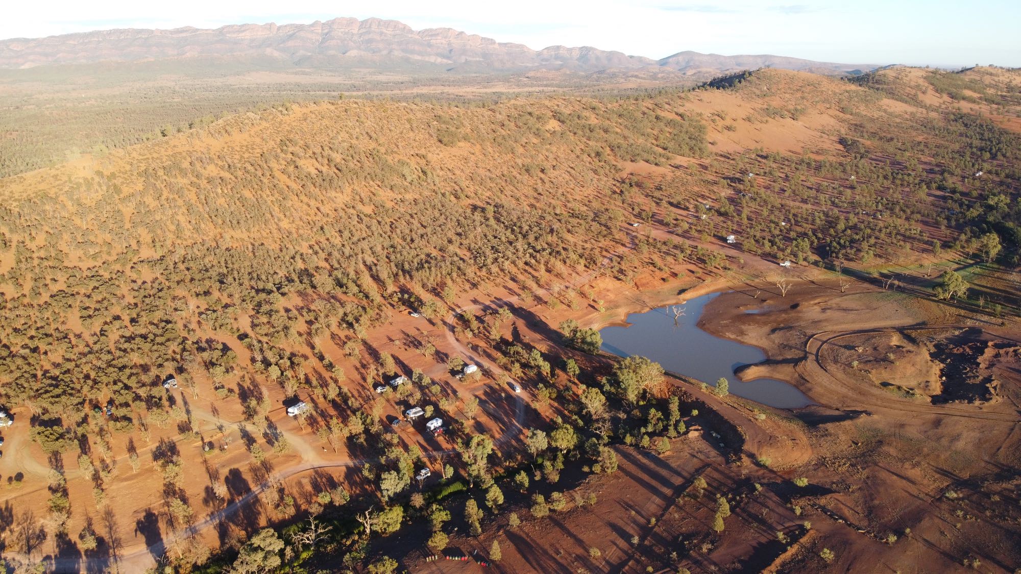
Wilpena Pound in the background.
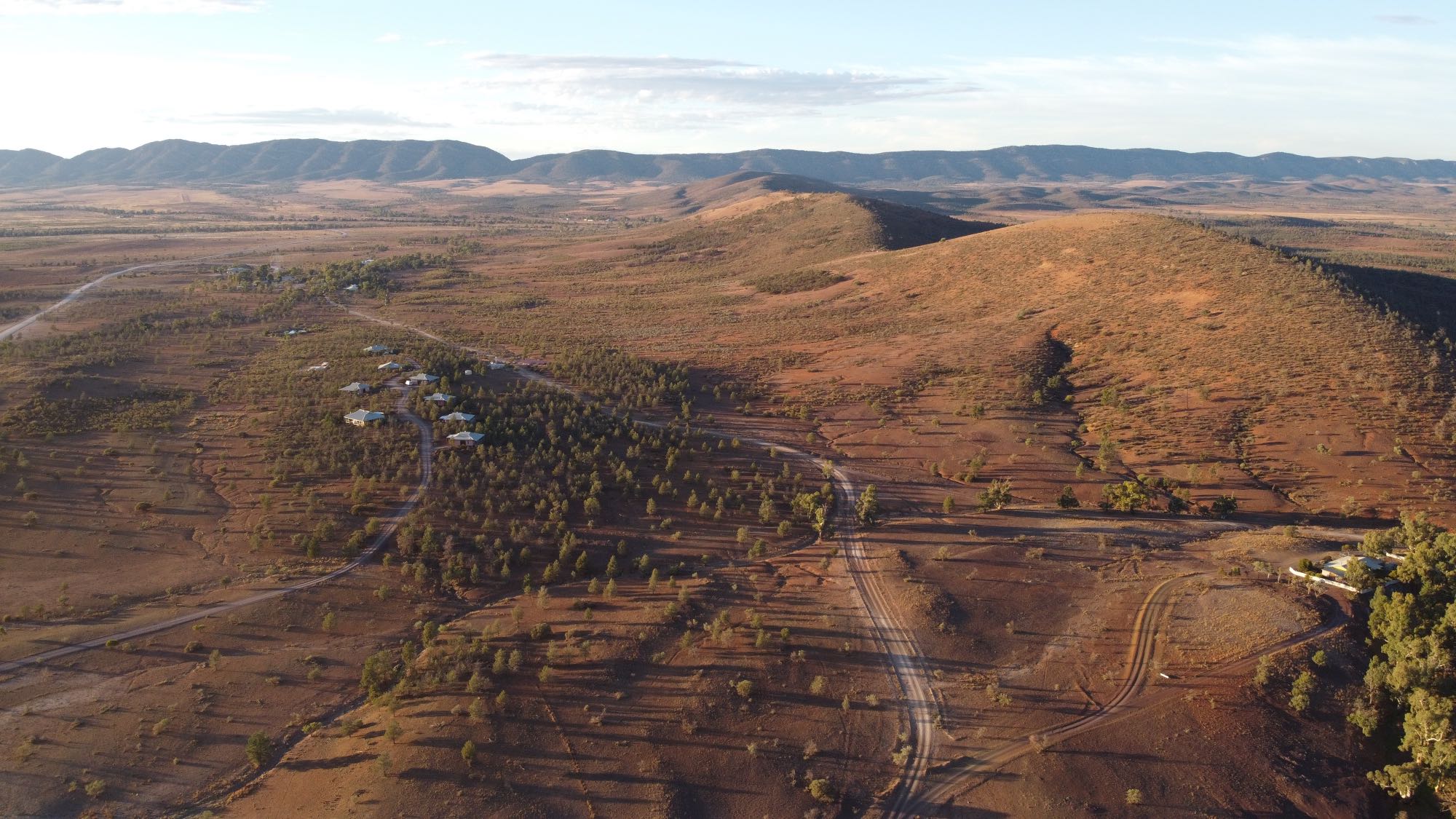
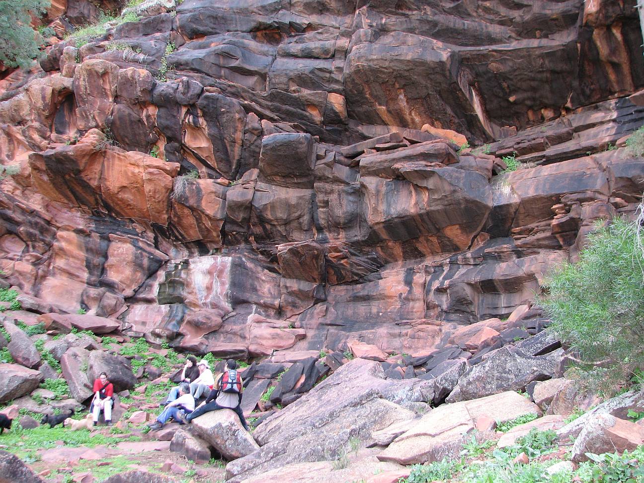
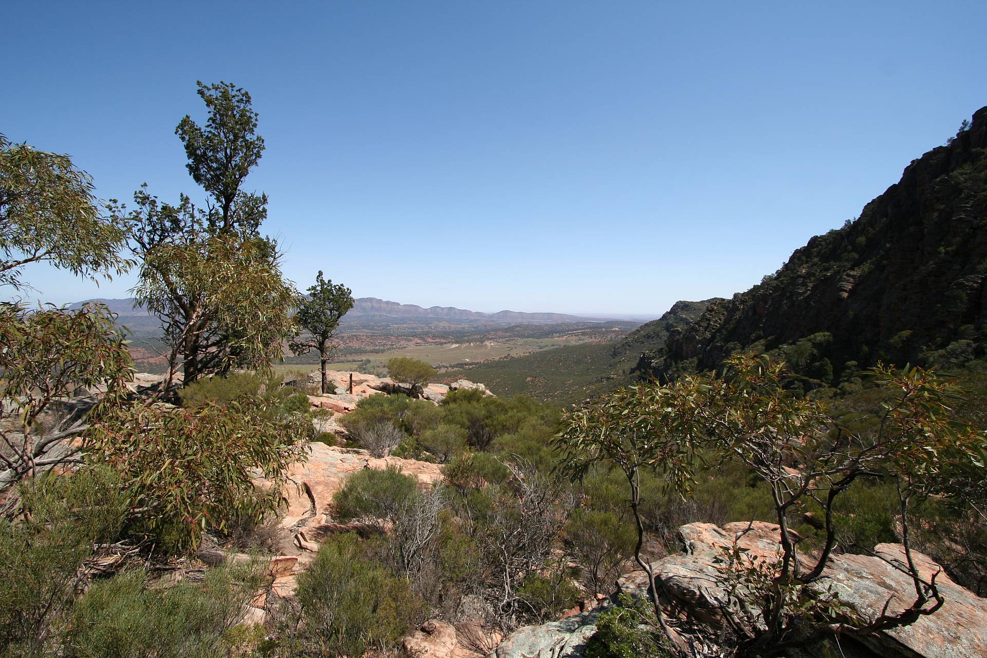
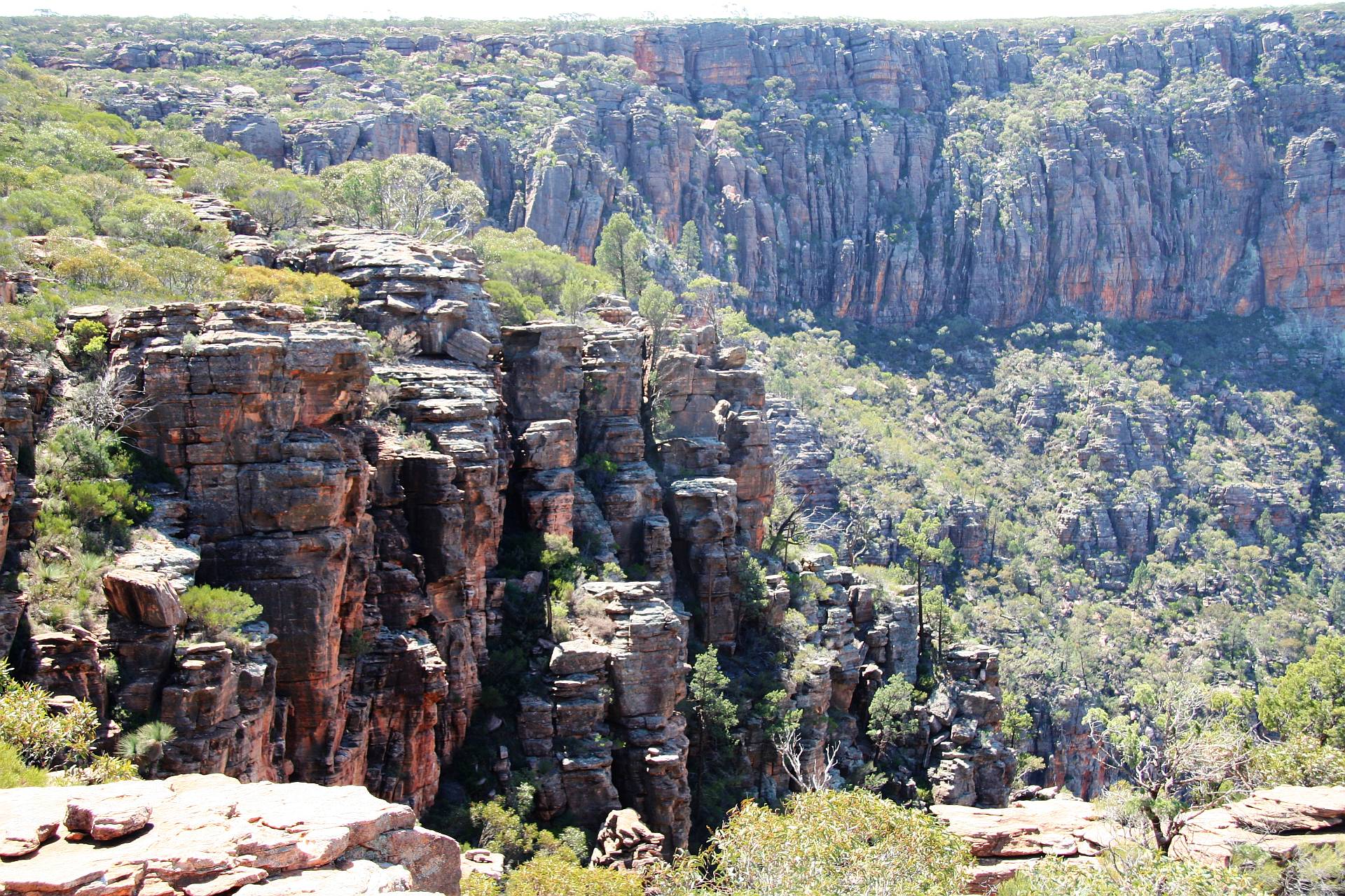
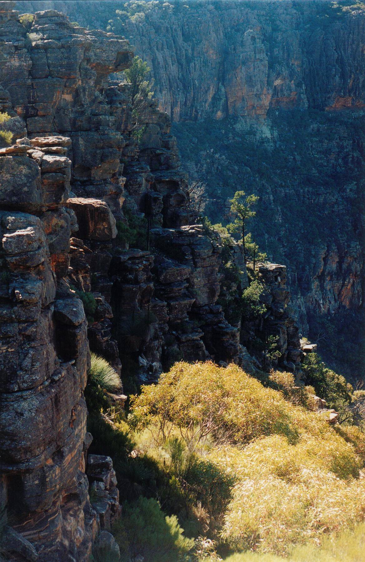
The next photo was taken from very nearby.