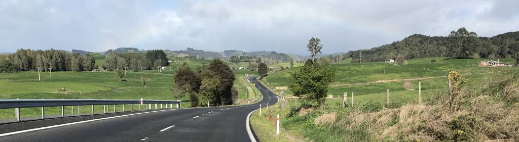
A typical North Island New Zealand view (if there is such a thing?)
|
|
|
Our visit to NZ was from 2019/09/25, when we flew direct from Adelaide to Auckland, to 2019/01/13, when we flew from Dunedin via Wellington and Melbourne back to Adelaide.
|
A typical North Island New Zealand view (if there is such a thing?)
|
|---|
|
|
IntroductionHaving a long interest in geology, the geomorphology of NZ fascinated me. The geomorphology of the North Island struck me as being dominated by volcanism and water erosion. The hills behind the house in the photo above, like many in the North Island, looked liked being of volcanic origin.In other parts of the North Island that we saw the geomorphological history of the landscapes were harder to work out; certainly volcanism had a big part to play in many places, and water erosion has since modified them. In many of the drier parts of Australia one can see bare rock, which provides clues; bare rock in NZ is not often seen because the higher rainfall and more fertile soils results in widespread vegetative cover. Most of the photos were taken using an iPhone 7. |
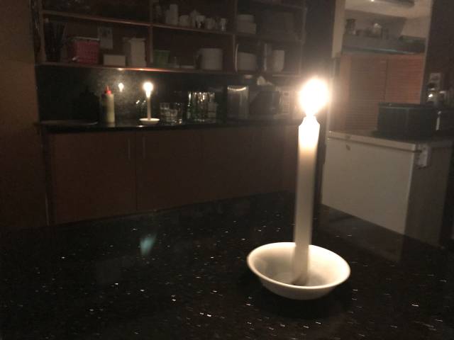
This was the only time during our two and a half weeks in NZ that there was a power failure.
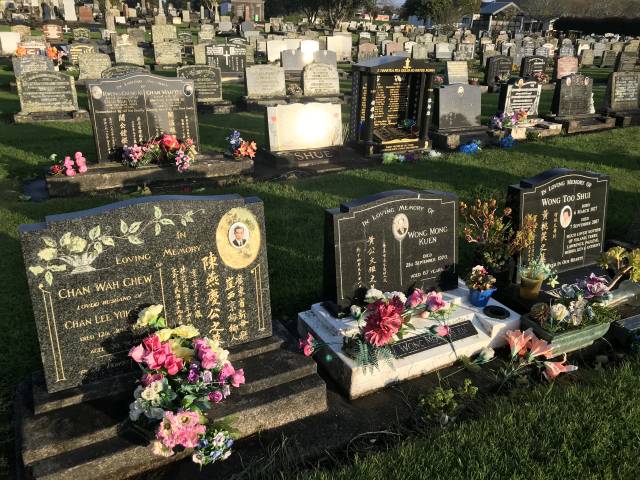
How many Chinese there are in NZ I have no idea, but quite a few of the headstones in this cemetery had Chinese names and Chinese writing on them.
In the opposite direction from our hostess's house was a moderately sized hill of obviously volcanic origin; my first sighting of many in NZ.
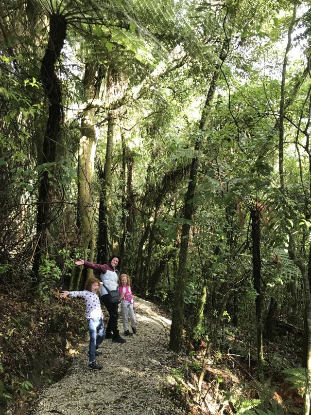
The photo on the right shows the grandkids on their first day in NZ enjoying touring through the beautiful countryside. They and their parents had had an overnight flight from Perth of about seven hours. |
|
|

|
|
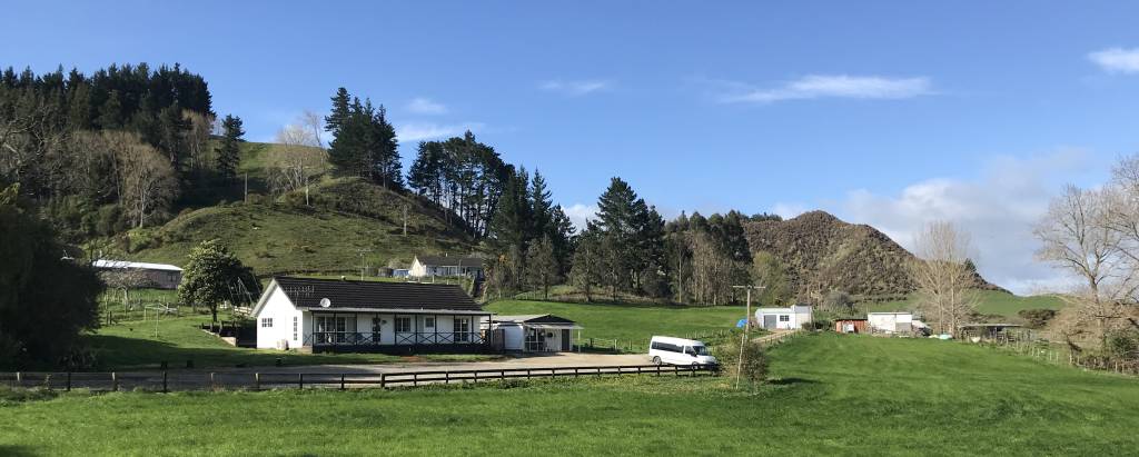
A panorama of Waitomo Farmstay where the whole six of us spent our first two nights together at Hangatiki, near the Waitomo Glowworm caves.
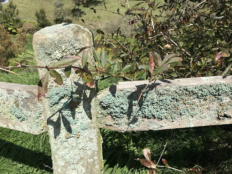
The fence is fairly typical of those in NZ, thin wooden posts closely spaced with tight plain wires between them. In Australia wood is much less used in fencing in the last fifty or so years, either concrete or steel posts are more common, with barbed wire. The landscape in this area was chaotic with no indication of sedimentary bedding. (Click to see the image in high definition. Use back-arrow to return.) |
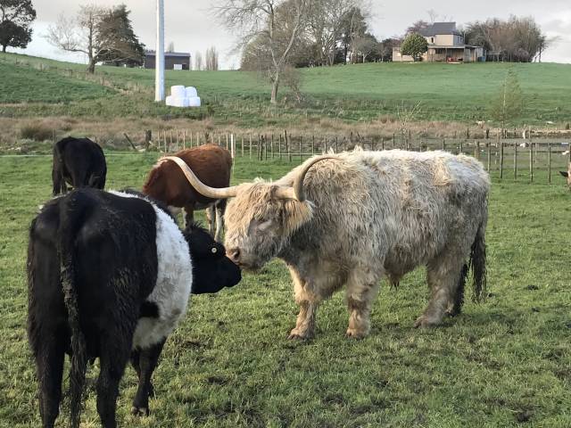
Anna and Beth loved the lambs, rabbits and Guinea pigs.
There were also duck, geese and cattle.
|
|
|
On the morning of 2019/09/27 I walked part way from the Farmstay to the Waitomo Glowworm caves.
This, and the view at the top of this page shows the attractive country that I walked through.
|
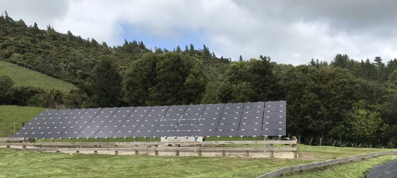
This installation was near one of the Waitomo Glowworm Caves buildings. Solar power in NZThe slow take-up of solar power in NZ would be partly due to the limited amount of sunshine, but I wouldn't think there'd be less potential than in places like Japan and Germany, which have taken solar power far further than NZ. At the time of writing Wikipedia said that there were no government incentives for the take-up of solar power in NZ.According to Wikipedia, NZ had 90 MW of solar power as of January 2019. It also reported that Australia had 13,900 MW of solar power in September 2019; more than 150 times the amount in NZ. Japan had 50,000 MW at the end of 2017. At the time of writing, in Australia about 20% of homes had solar power, the figure for NZ was 1%; solar power was generating about 5% of Australia's electricity, but only 1% of NZ's.
All figures on the table above were from Wikipedia, 2019/11/03. The relatively high take-up of solar in Australia, run mainly by three political parties (Liberal, Labor and National) who are all devoted to preserving the coal industry, compared to the very low take-up in NZ is remarkable. Some sort of an accident of history rather than a planned thing, I suspect.
(Also see
geothermal power, and
NZ electrical generation energy sources, elsewhere on this page.)
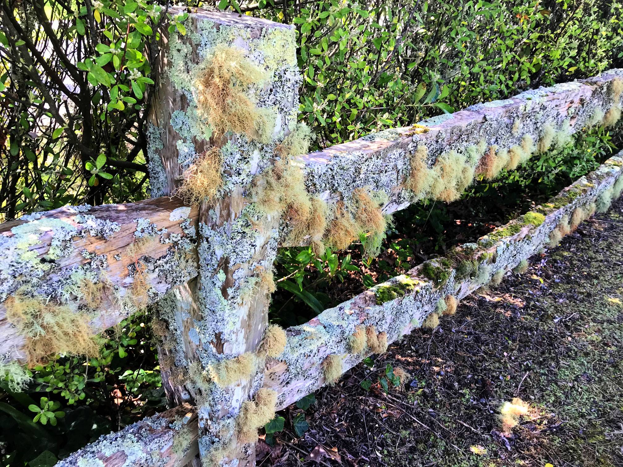
lichen-covered wooden fence
The colours have been slightly intensified using a photo editing tool. I'd be pretty sure that I've never seen such a luxuriant crop of lichen on any fence in Australia.
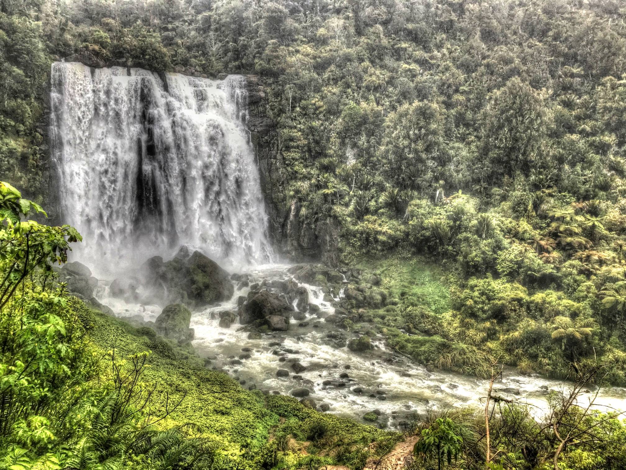
Marokopa Falls and Falls Walk
From left to right: granddaughter Anna, daughter Julia and granddaughter Elizabeth.
EpiphytesPerhaps because my family and I all live in areas that are much drier than the west coast of NZ we were amazed at the amount of plant life in NZ forests.In South and Western Australia tree trunks are usually bare, with the occasional exception of some of the tougher lichens. On the western side of both main islands of NZ epiphytes cling on everywhere; it is often difficult to see the bark of a tree for the covering of epiphytes.
Other photos also show epiphytes, on this page above this, and also on the South Island page.
The photo has been edited using Photomatix. The lighting was poor, it was raining on and off all the time we were at the waterfall and on the Falls Walk (as it often was during our time in NZ).
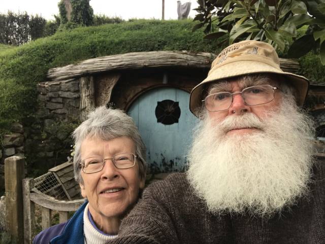
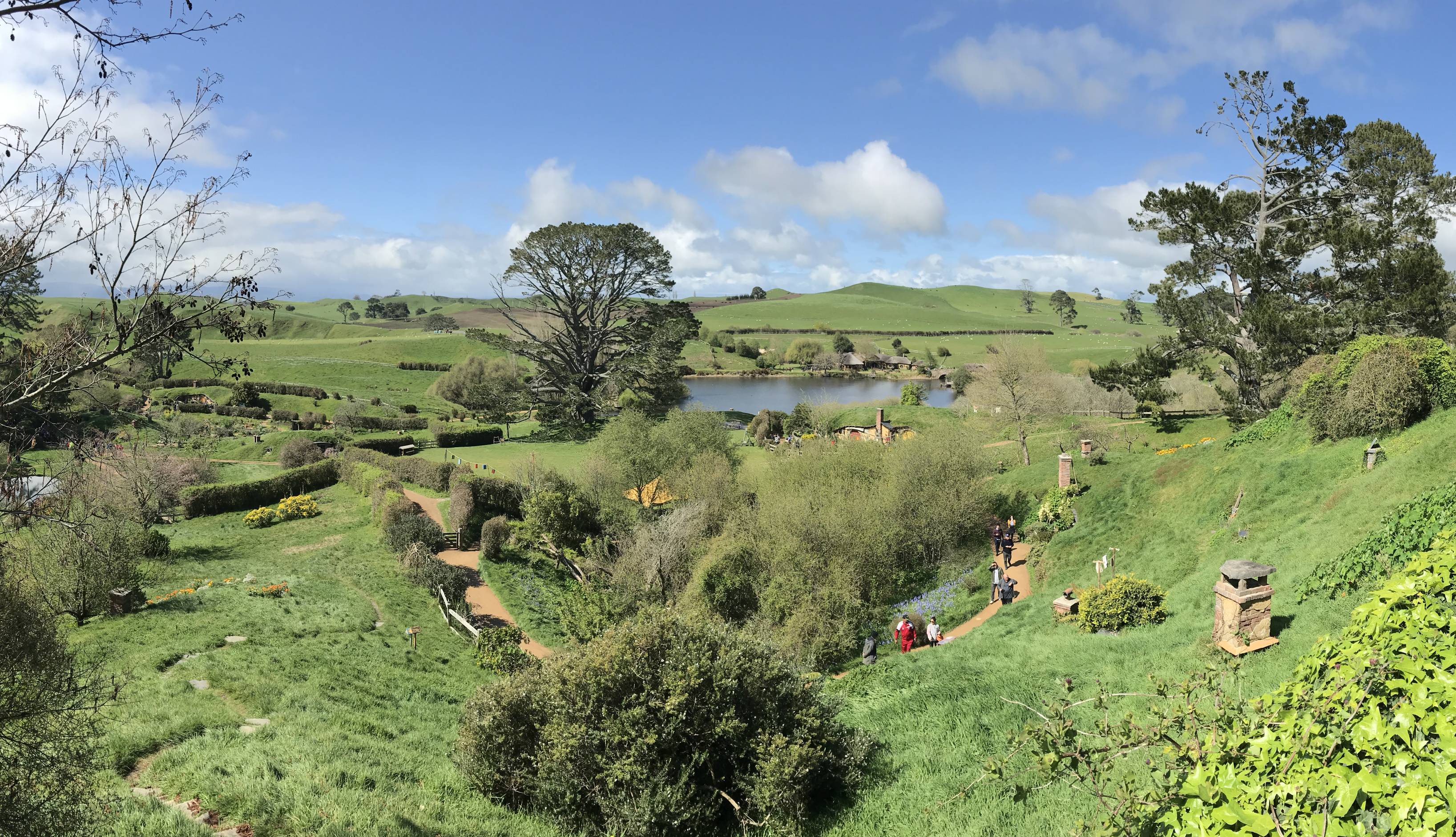
Hobbiton movie set
I took very few selfies in NZ, I generally take very few selfies. In front of one of the hobbit holes seemed a good place for one. I had read The Lord of the Rings and The Hobbit to my kids thirty or so years earlier. We had all seen the three movies of the Lord of the Rings. Hobbiton was a must-see for us all.
The scenery in The Lord of the Rings movies (which were filmed in NZ) was a contributing attraction and reason for going to NZ.
|
|
|
A view of Hobbiton from toward the top of the hill shown in the previous photo.
All that can be seen of a number of Hobbit holes from this angle is the chimneys.
The Green Dragon Inn can be seen in the right background.
There are many advantages in living underground in the real world too. I had a cellar made that I use as a bedroom, store-room and bushfire refuge. I have very rarely used heating and never needed cooling in the cellar. |

|
|
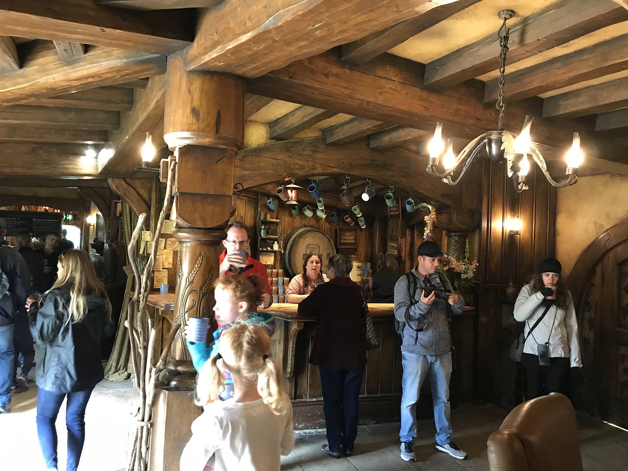
A panorama of the Green Dragon Inn, Hobbiton
|
I was particularly impressed with the timber beams of the roofing.
The inn is a beautiful piece of architecture, remarkable to consider it was built just as a film set.
|
|
|
|
|
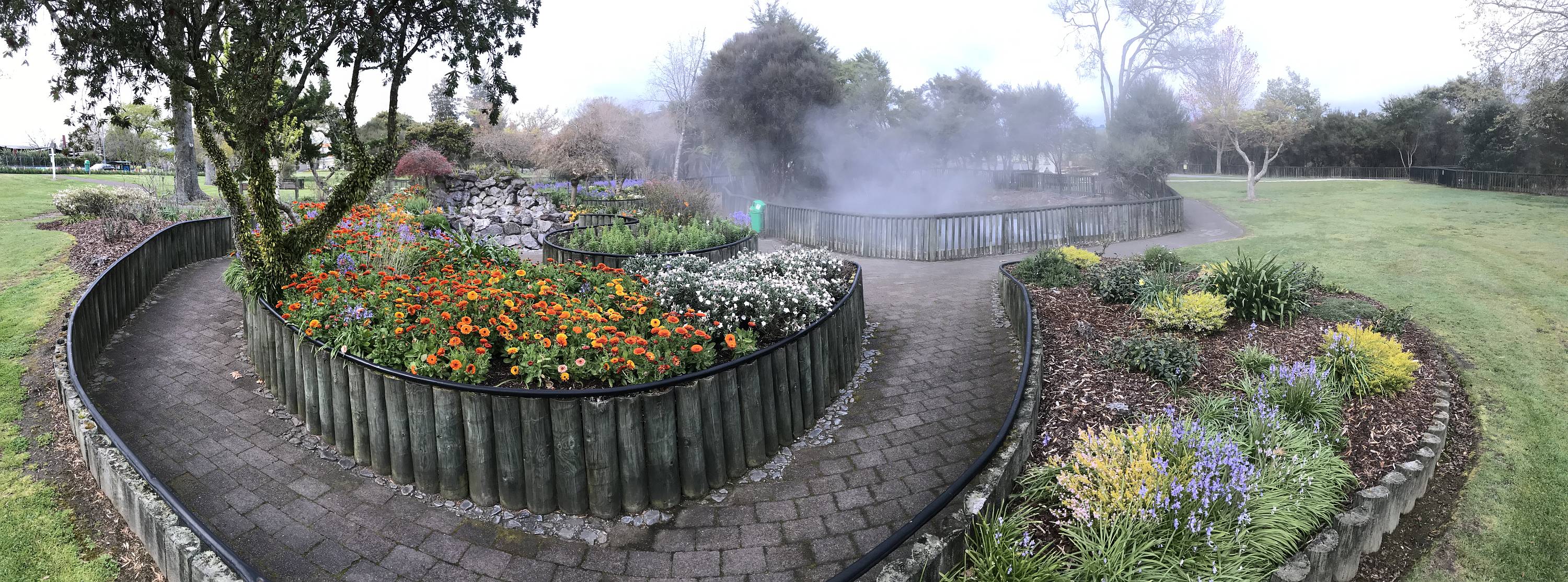
One of the many hot springs in Kuirau Park, near the town centre of Rotorua.
This one had a particularly attractive garden nearby.
Maintaining this park must be a substantial expense for the council of a not particularly big city.
Rotorua has a distinctive smell: H2S, hydrogen sulfide, rotten egg gas. I found it noticeable quite a bit of the time we were in and near the town, in some places more than others. I did not find it oppressive. Hydrogen sulfide can be a toxic gas, even at very low levels such as 300 parts per million; however, it becomes noticeable by its smell at very much lower levels that that, about 0.5 parts per billion. |
|
|
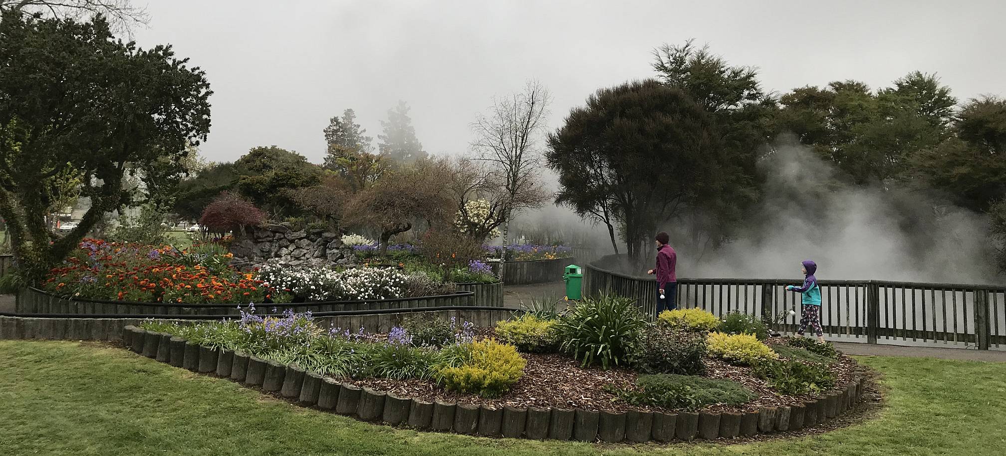
Another view of one of the thermal pools in Kuirau Park, this photo was taken the morning after the previous one. My daughter, Julia, and granddaughter, Beth, came with me this time.
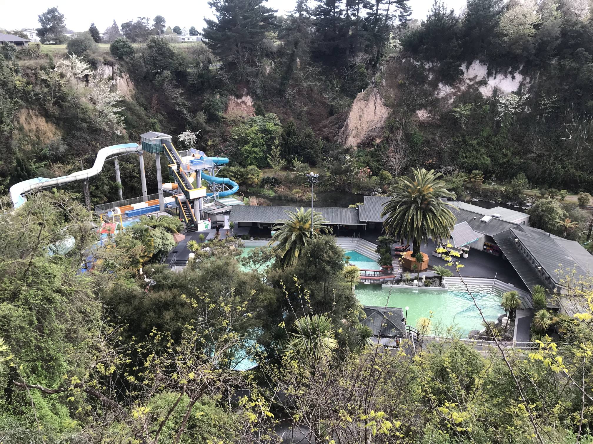
I believe that much of the domestic, commercial and industrial hot water in Rotorua comes from geothermal sources. The motel we stayed in had a naturally hot geothermal spa. Geothermal energy is also used to generate a substantial part of NZ's electricity. |
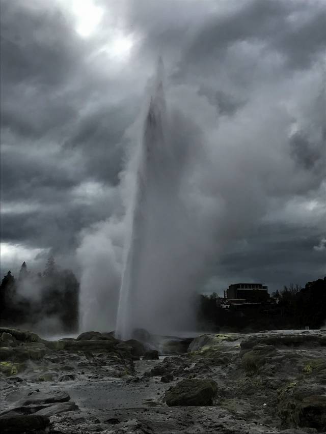
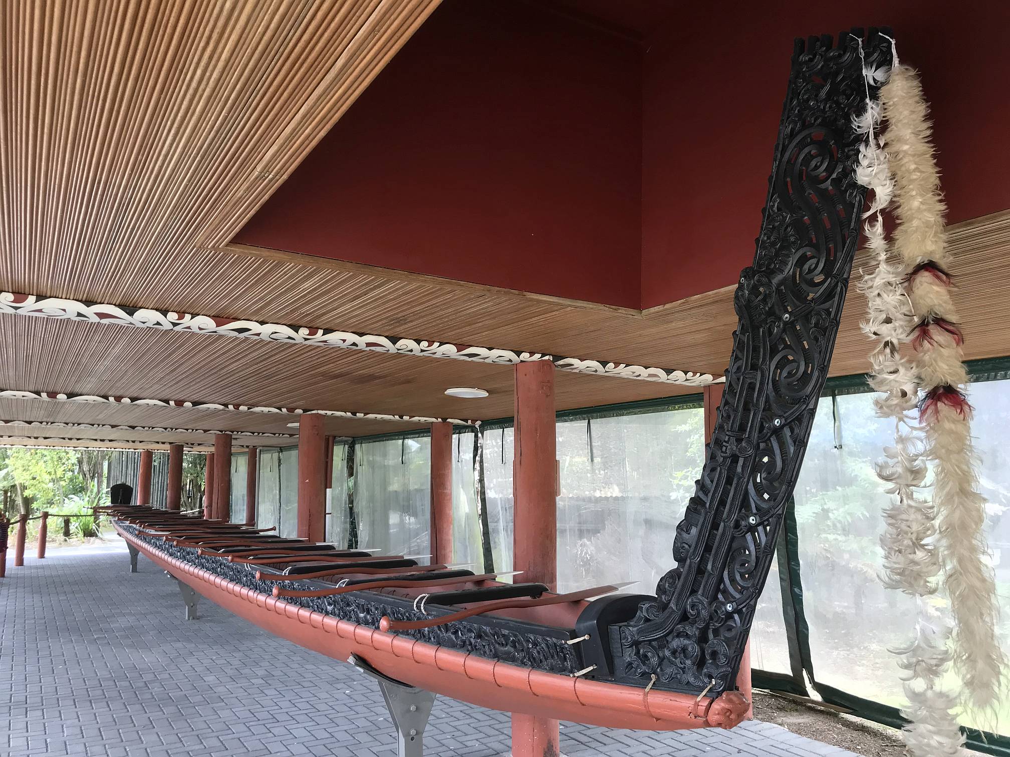
Te Puia in the Te Whakarewarewa Valley, Rotorua
We found the traditional Maori buildings and building decorations very beautiful.
A few of the males in the audience, including my Son-on-Law and me, got to try doing a haka. I won't show any photos of that!
The water and steam did not show up well against the fully clouded sky. I edited this photo to increase the contrast.
On a clear day it would be spectacular.
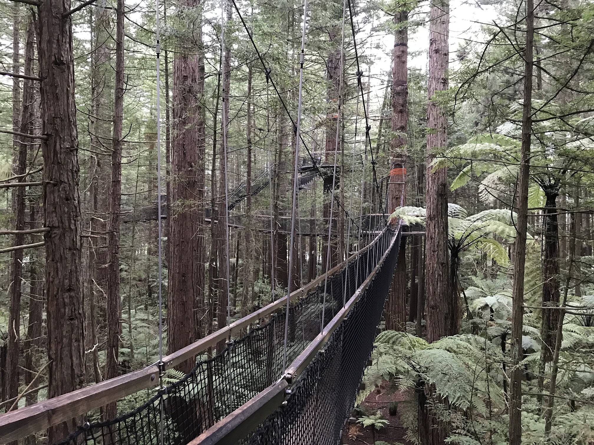
Redwood Tree Walk, Rotorua
Californian redwoods were tried for the NZ forestry industry, but eventually found to be not as profitable as Monterey pines (Pinus radiata). Some of the redwoods are claimed to be 75m tall and around 120 years old. |
|
|
|
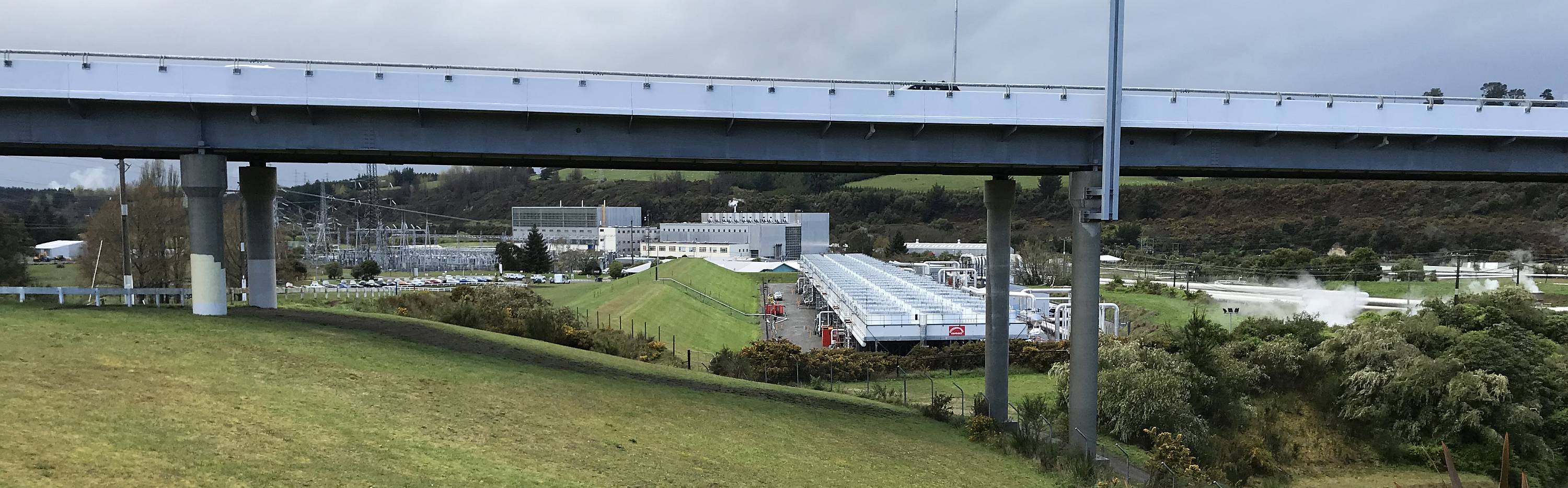
Wairakei geothermal power station, north of Taupo.
The viewing area was obviously on the wrong side of the bridge! With all the volcanism in NZ geothermal power has been successfully harnessed and according to Wikipedia, provides 10% of the nation's electricity. Also see Solar power in NZ, above, and Westwind Wind Farm, on the South Island page.) | ||||||||||||||||||

|
|
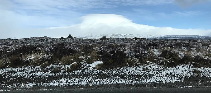
A panorama of the city of Taupo with Lake Taupo, the biggest lake in NZ, in the background.
Without the cloud the snowcapped mountains of the Tongariro, Ruapehu group would probably be visible in the distance.
Of course views in NZ are rarely without clouds; the country is not called "The land of the long white cloud" for nothing.
Anna with her new poi's on the left, then Denece, Julia, Beth and Shayne. Taupo did not have the hydrogen sulfide smell that was so ubiquitous in Rotorua, but there were many steam vents scattered around the city. Lake Taupo partly fills the caldera that was formed following a super-volcanic eruption. The lake's area is about 616 km2 with a maximum depth of 186 m.
"The Oruanui eruption of the Taupo Volcano was the world's largest known eruption in the past 70,000 years, with a Volcanic Explosivity Index of 8. It occurred around 26,500 years ago and generated approximately 430 km3 of pyroclastic fall deposits, 320 km3 of pyroclastic density current (PDC) deposits (mostly ignimbrite) and 420 km3 of primary intracaldera material, equivalent to 530 km3 of magma." |
See the next photo...
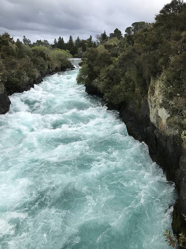
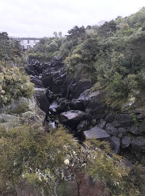
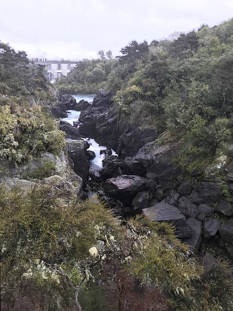
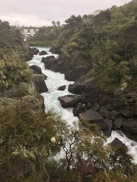
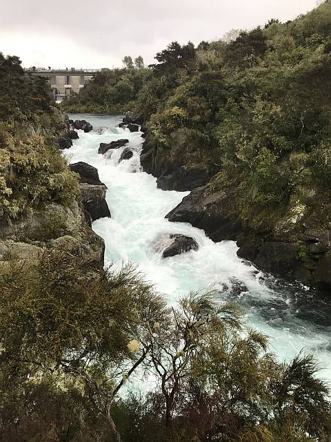
Huka Falls
The Waikato River is the longest in NZ, but not the one that carries the most water, that is in the South Island.
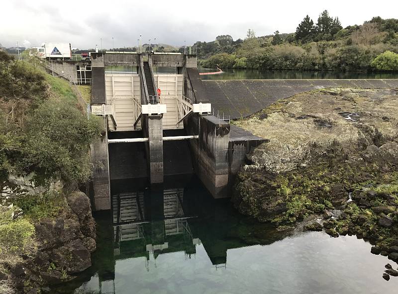
Aratiatia Dam and Rapids
|
|
The photos below show the increasing flow in the Waikato River as the flow comes down the river from the dam.
|
|
|
|
|
|
The Aratiatia power station was the first hydroelectric power station on the Waikato River.
It rained steadily all the time we were at the dam and rapids. |
Taupo
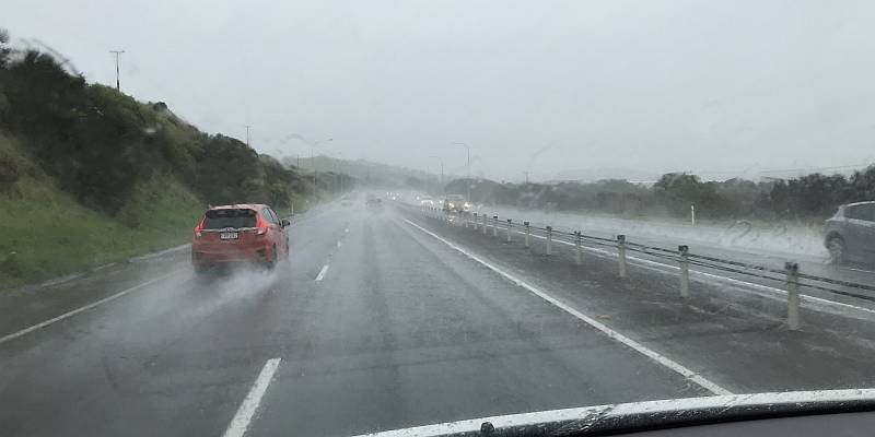
The weather during our time in Taupo was fairly rainy. I don't remember previously swimming in hail.
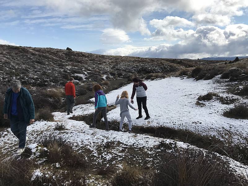
Tongariro area
This patch of very icy snow was the first time Beth and Anna had seen snow.
Surprisingly, a week or so later and several hundred kilometres further south, on the
South Island, we didn't see snow on the ground until we got to about 1300 metres.
This very pleasant cafe in the little town of Waiouru provided a welcome coffee break. The small black thing on the wood stove was a thermoelectric fan, powered by electricity generated from the temperature difference between the stove-top and the air above the stove. I had only seen one previously. I bought one after getting back to Australia. Air heated by something like a wood stove tends, due to convection, to rise straight up the the ceiling, where it does little to warm the people in the room. A fan on top of the stove mixes some of the warm air above the stove with the cooler air in the room. Whether a little thermoelectric fan such is this one mixes enough air to be of much value is questionable, but it is a good conversation piece.
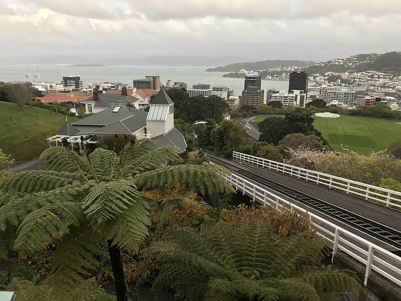
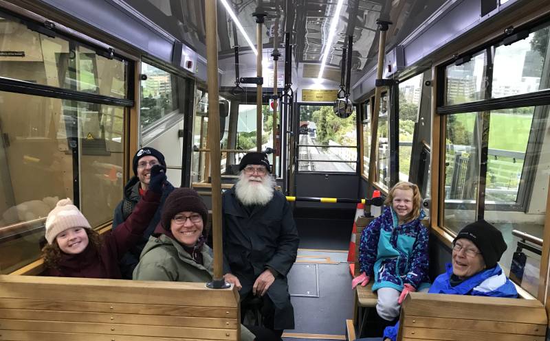
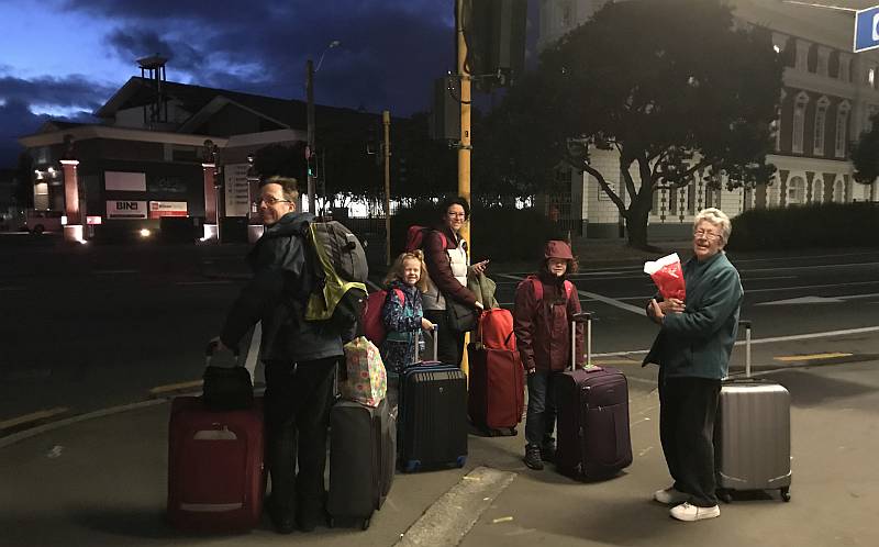
Wellington
Australia was in drought all the time we were in New Zealand.
We were only in Wellington for one night, returning a hire car and catching the ferry to the South Island the next day.
The ferry took us from the North Island to the South Island.
My daughter, Julia, in the middle, did a great job of organising the whole trip.
Accommodation and vehicle hire was all arranged before we left Australia.
There was enough swell to move the ferry in Cook Strait, but most of the journey we were in the shelter of the North Island or Queen Charlotte Sound. Westwind Wind Farm could be seen from this vicinity, but we had far better views of it from the plane when we later flew from Dunedin back to Wellington on the way home. |
|
|
Related pagesExternal sites...Te Ara, The Encyclopedia of NZDeforestation and the settlement of New Zealand On this site...Pages that are largely based on a photographic record... |
|
|
|
|
|