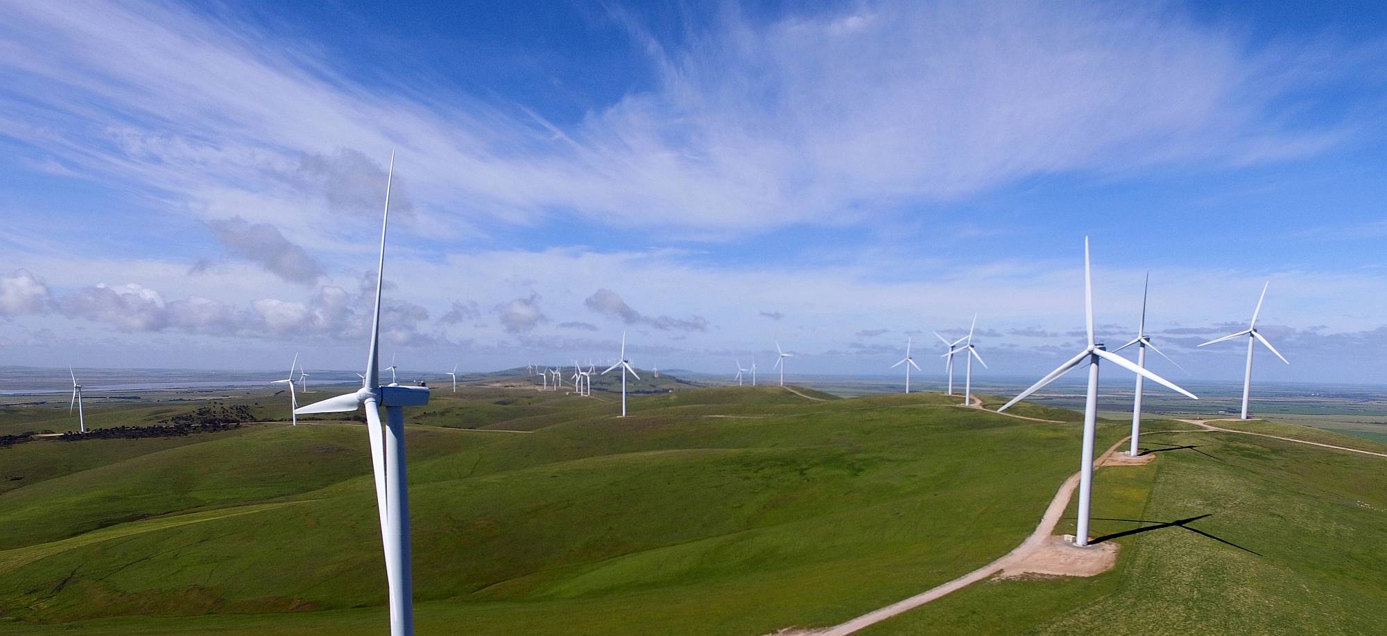
| Snowtown Wind Farm |
|---|
|
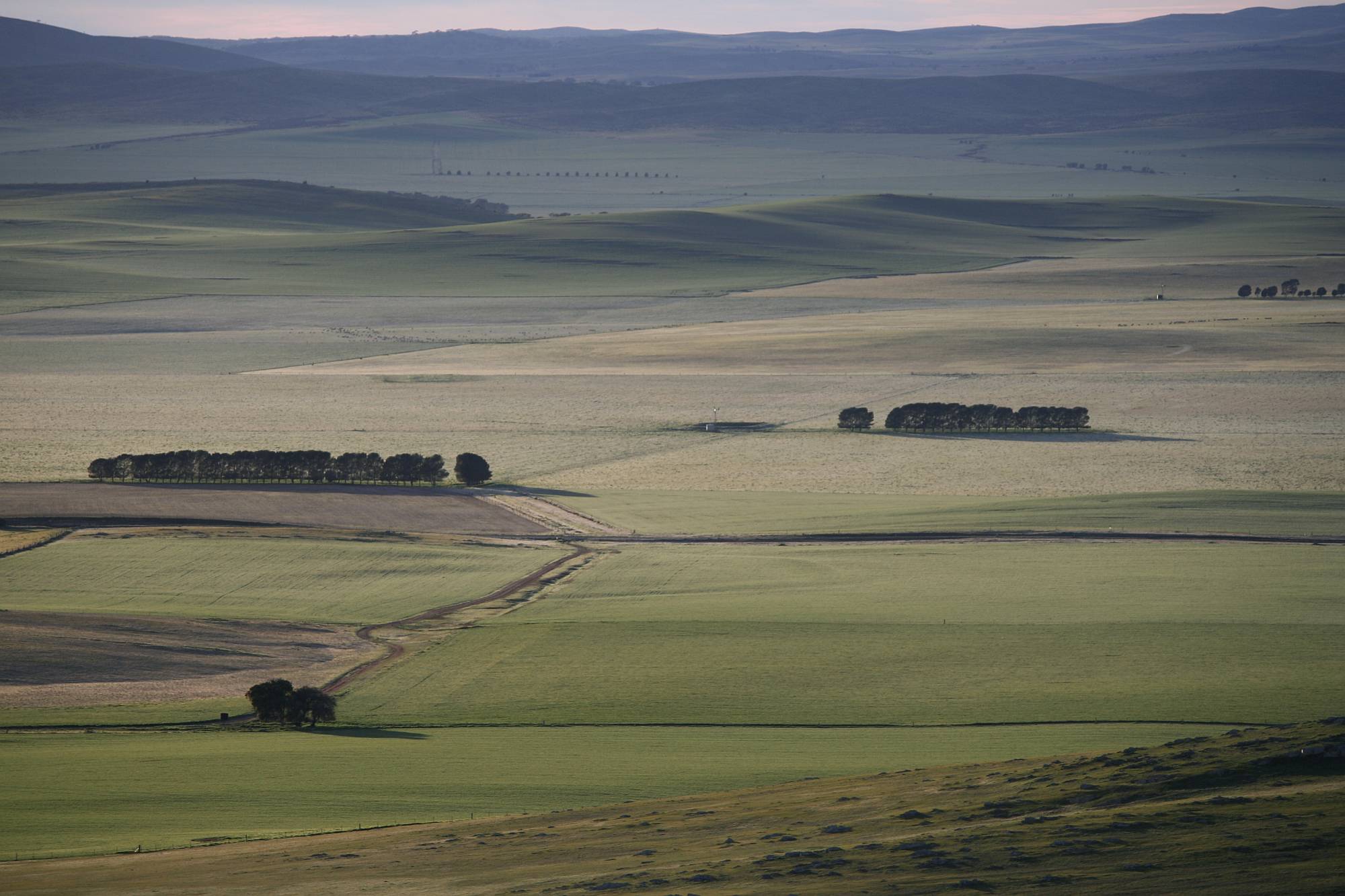
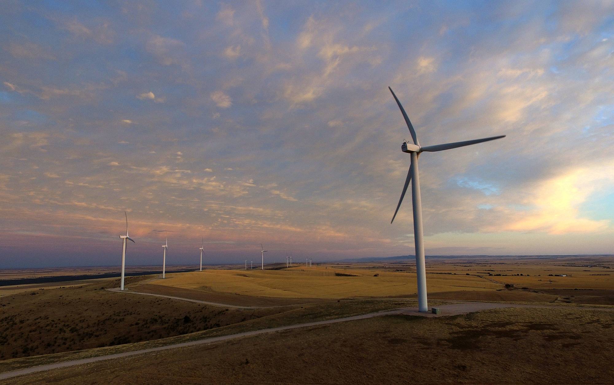
Snowtown Wind Farm stretches along about 30 km of the Barunga Range.
The top of the range is about 300 m above the nearby plain.
The top of the range gives beautiful views over the salt lakes of the Condowie Plain to the east, toward the Copper Coast and Spencer Gulf to the west, and Saint Vincent's Gulf to the south.
A solar farm is planned for Snowtown; it would be easily visible from parts of the Barunga Range.
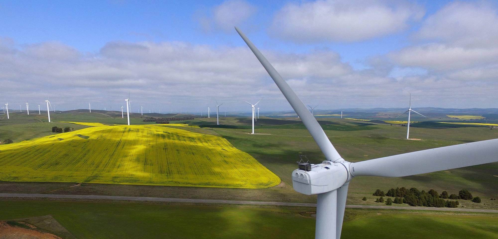
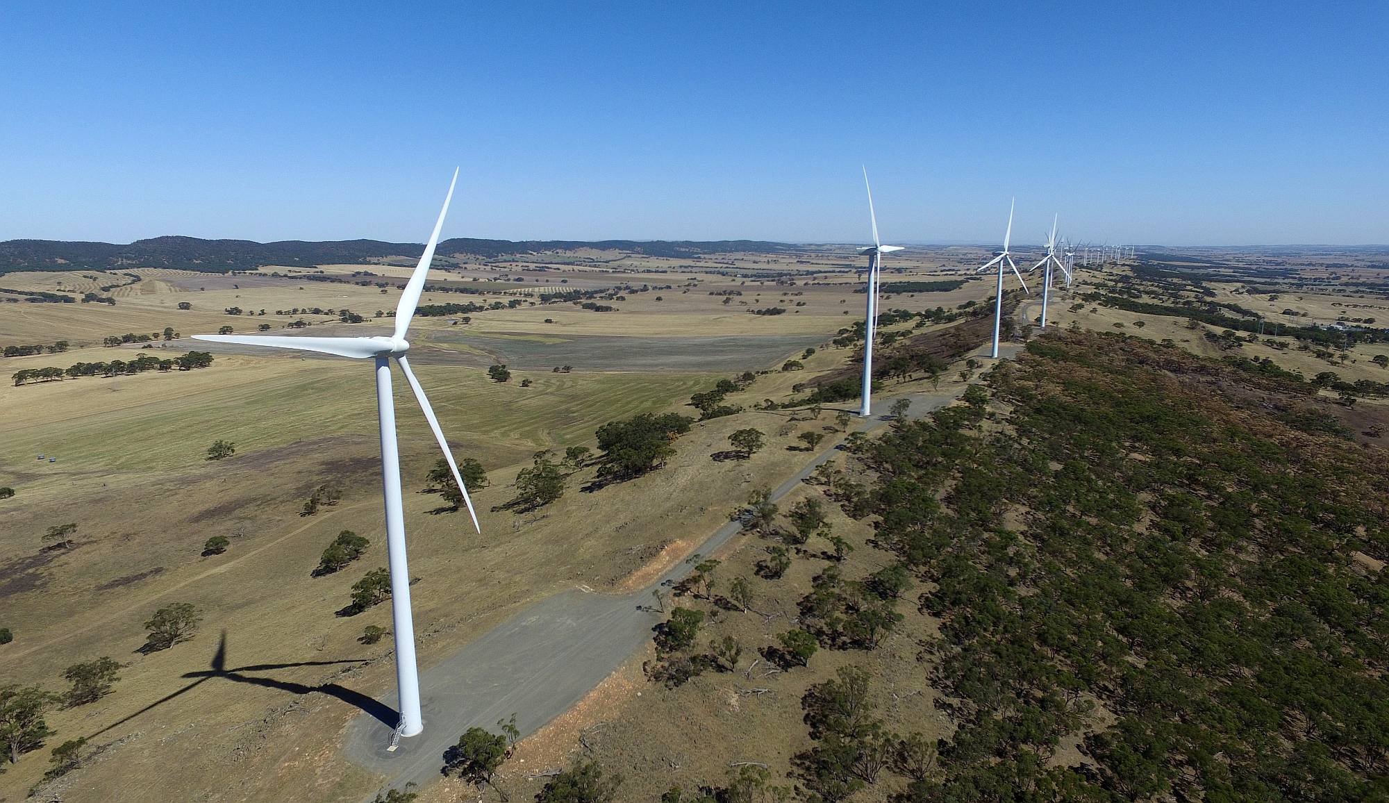
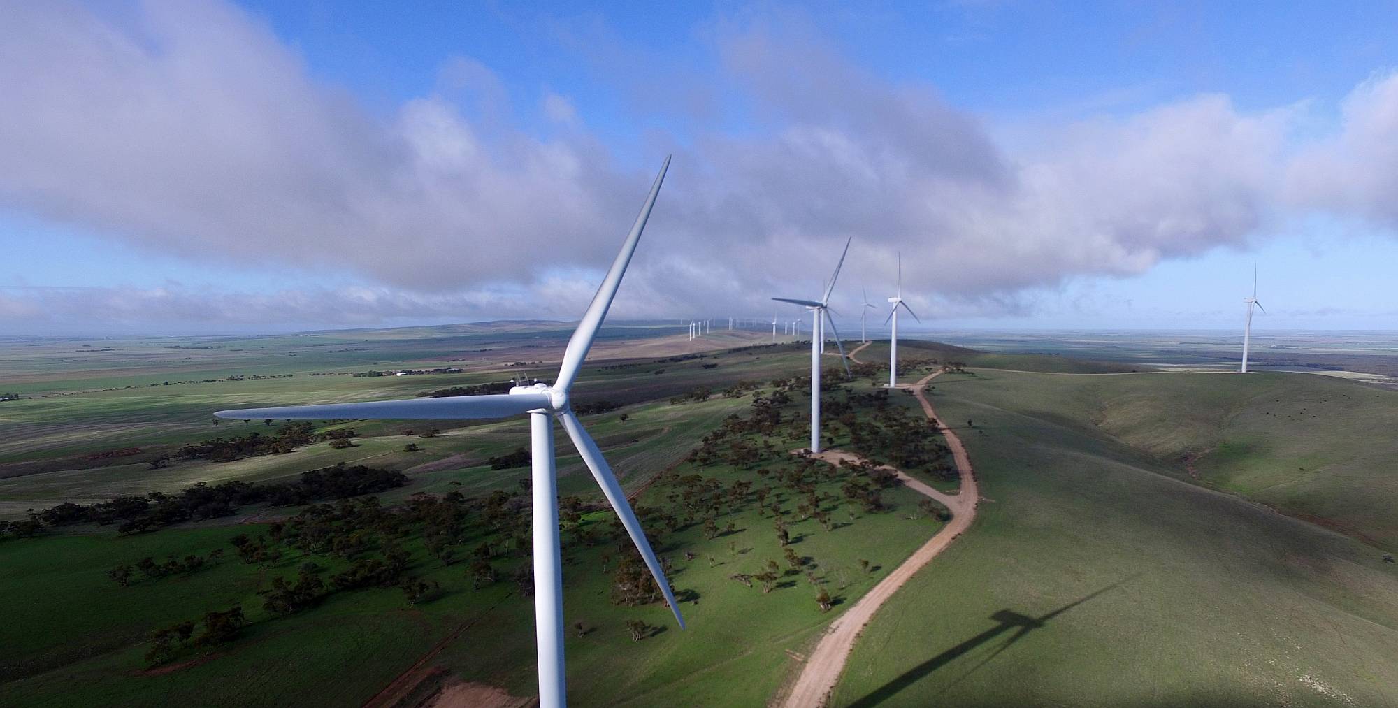
| North Brown Hill Wind Farm |
|---|
|
Views of ranges and valleys; cropping and grazing land.
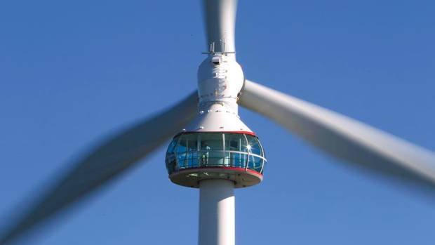
Perhaps a pod such as this could be used as a viewing platform on one of the turbines?
|
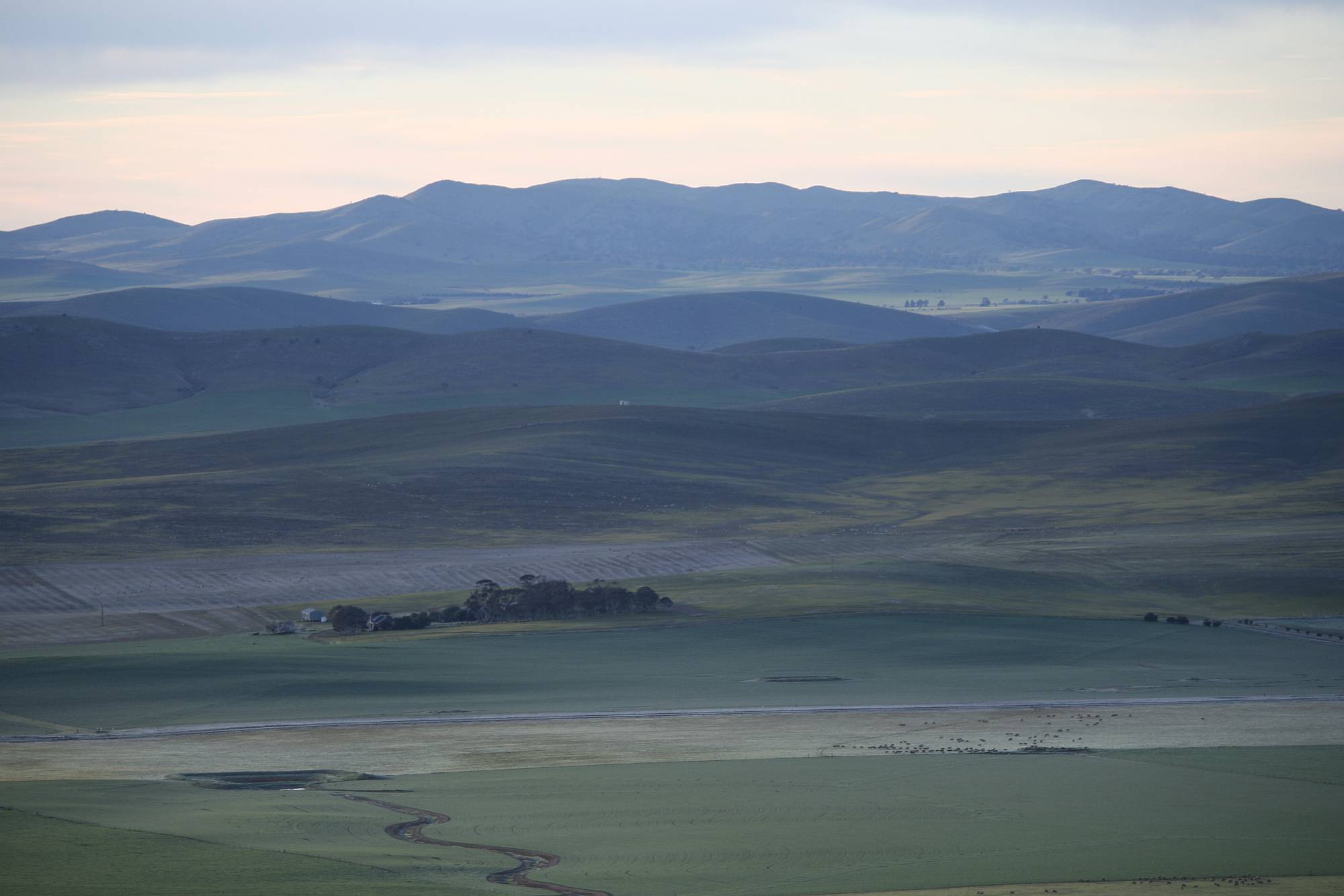
| A view looking east from Brown Hill Range |
|---|
|
| A view looking east from Brown Hill Range |
|---|
|
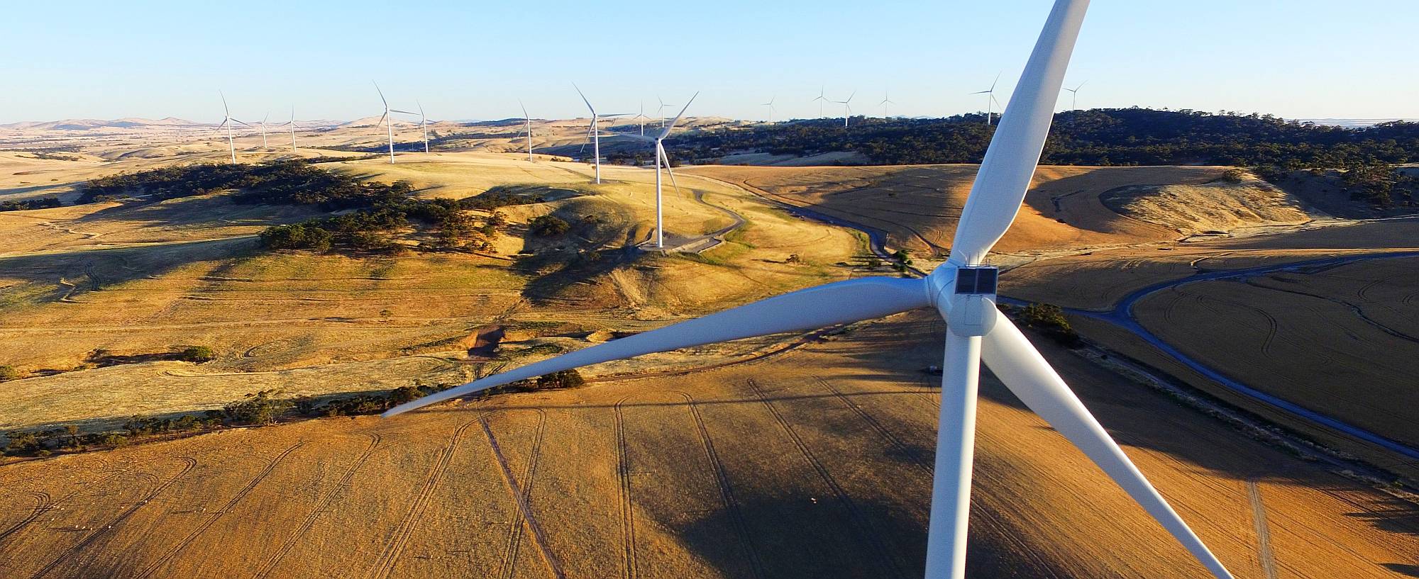
| Waterloo Wind Farm |
|---|
|
Views of the Mount Lofty Ranges, the Tothill Range in particular (on the left in this photo), and the valleys between the ranges.
| Hornsdale Wind Farm |
|---|
|
Views of the northern Mount Lofty Ranges and southern Flinders Ranges.
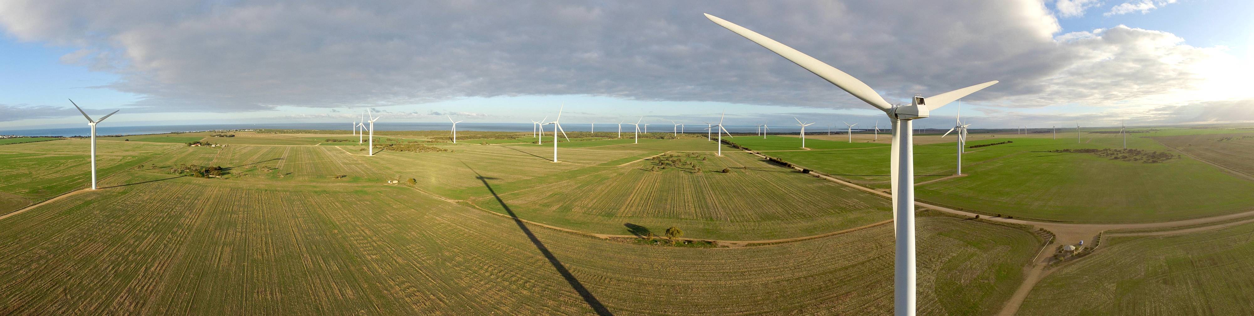
| Wattle Point Wind Farm |
|---|
|
Views of Investigator Strait with Kangaroo Island beyond (50 km to the south), Gulf Saint Vincent to the east with the highest section of the Mount Lofty Ranges beyond Adelaide.
Remember that these drown photos were taken with a very wide angle lens and do not show distant features at all well.
| Clements Gap Wind Farm |
|---|
|
Close to the Augusta (Princes) Highway, views of the northern Mount Lofty Ranges, southern Flinders Ranges and northern Spencer Gulf.
Clements Gap is the closest wind farm to my home in Crystal Brook, so I've got more photos of it than the other wind farms.
| Clements Gap Wind Farm |
|---|

|
| Clements Gap Wind Farm |
|---|
|
| Clements Gap Wind Farm |
|---|

|
| Clements Gap Wind Farm |
|---|
|