|
|
|
|
|
|
Clicking on the image will show them in more detail. |
|
|
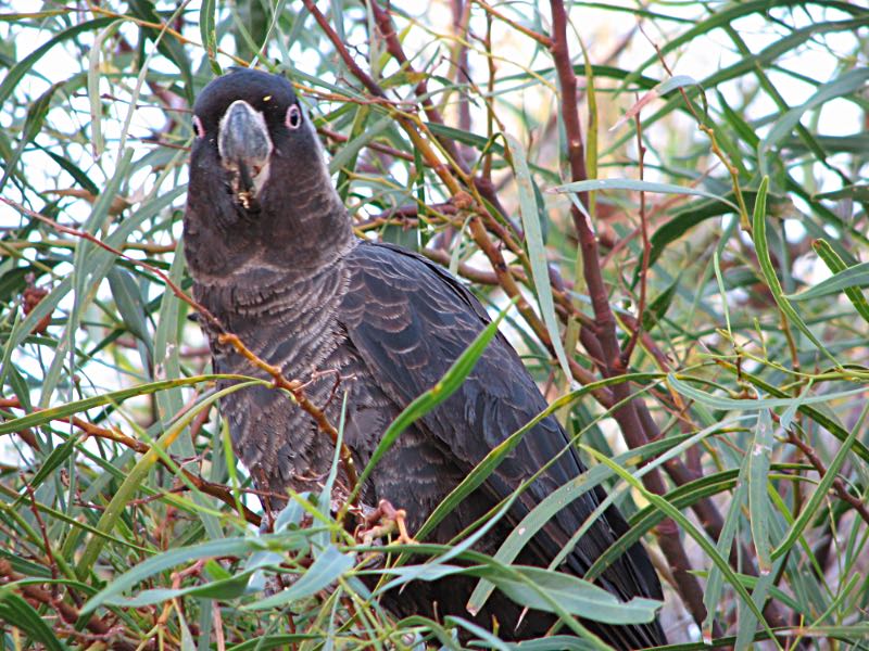
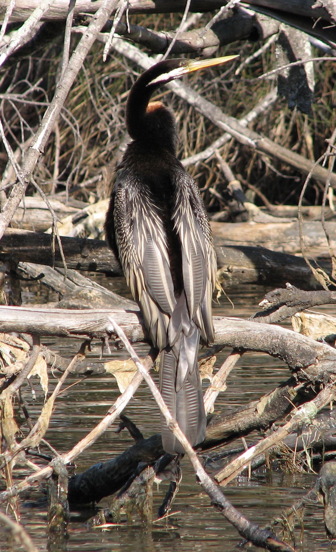
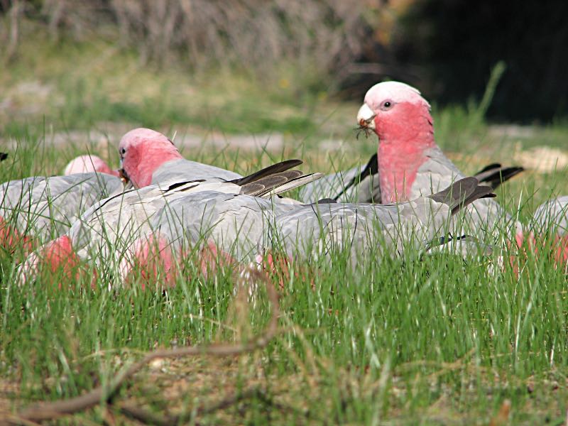
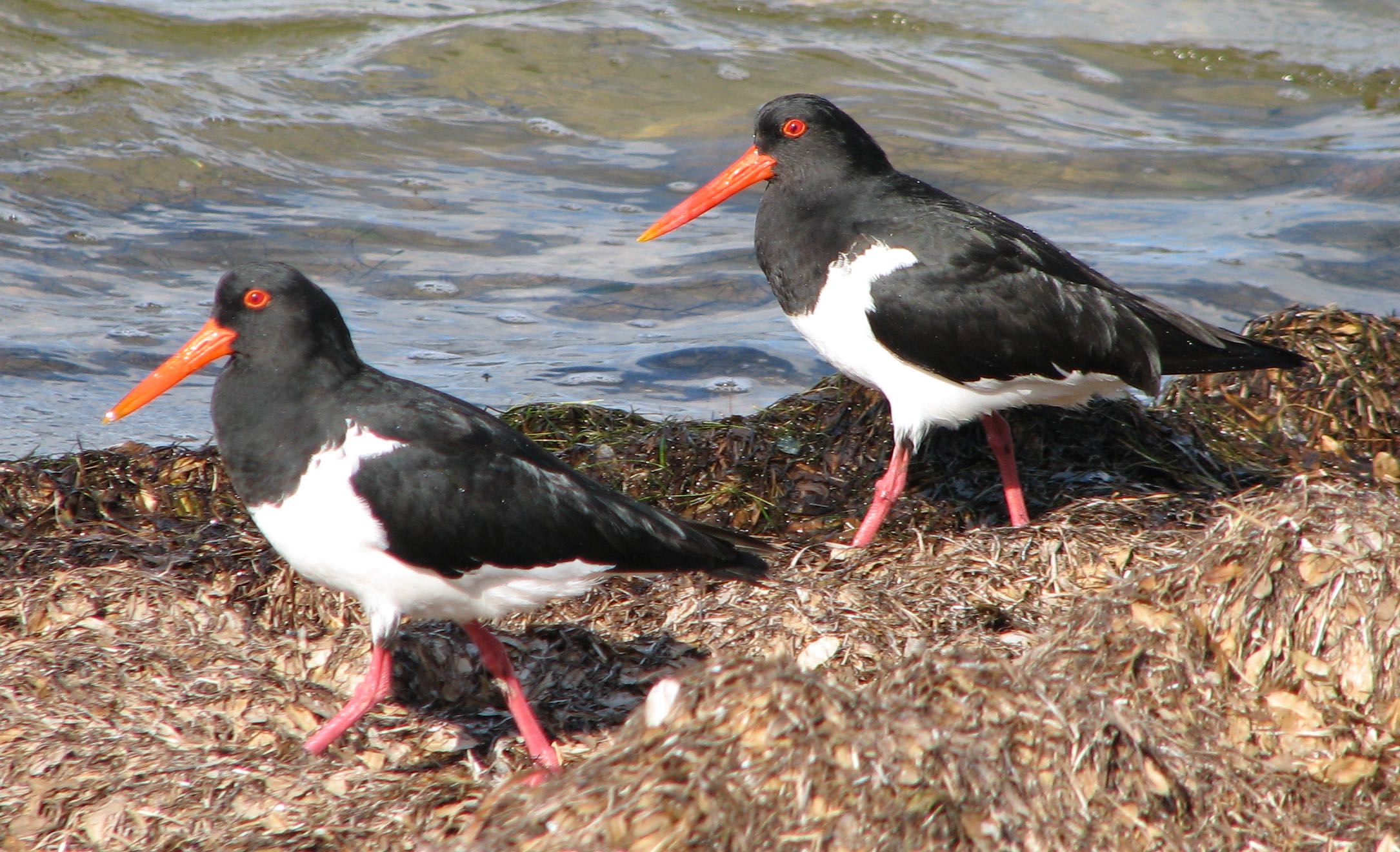
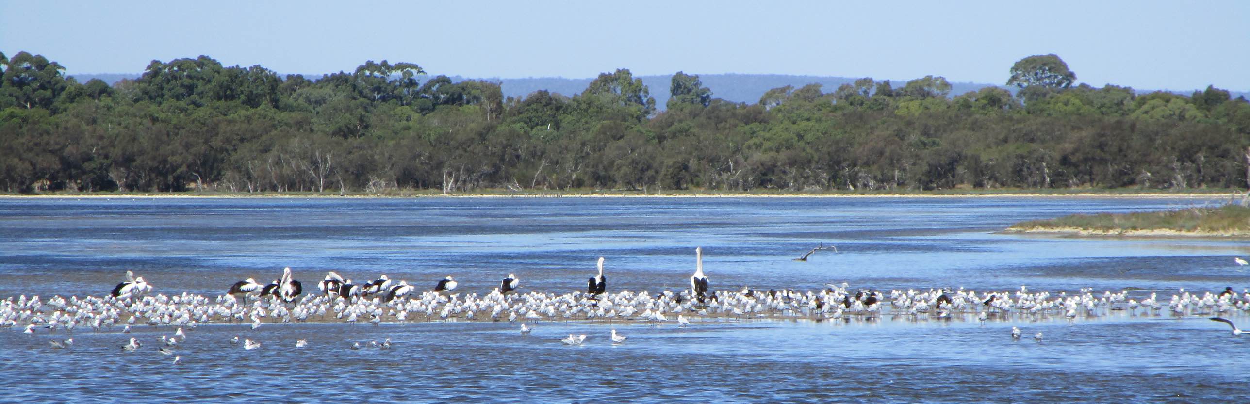
The same birds seen from ground level
Photographed using a Canon Ixus 190, 2021/01/06 |
Photo taken by my Mavic Mini drone, 2021/01/01.
Photo taken by my Mavic Mini drone, 2021/01/01.
Photographed using a Canon Ixus 190, 2021/01/16
Photographed using a Canon Ixus 190, 2021/01/14
Photo iPhone 7, 2006/05/28
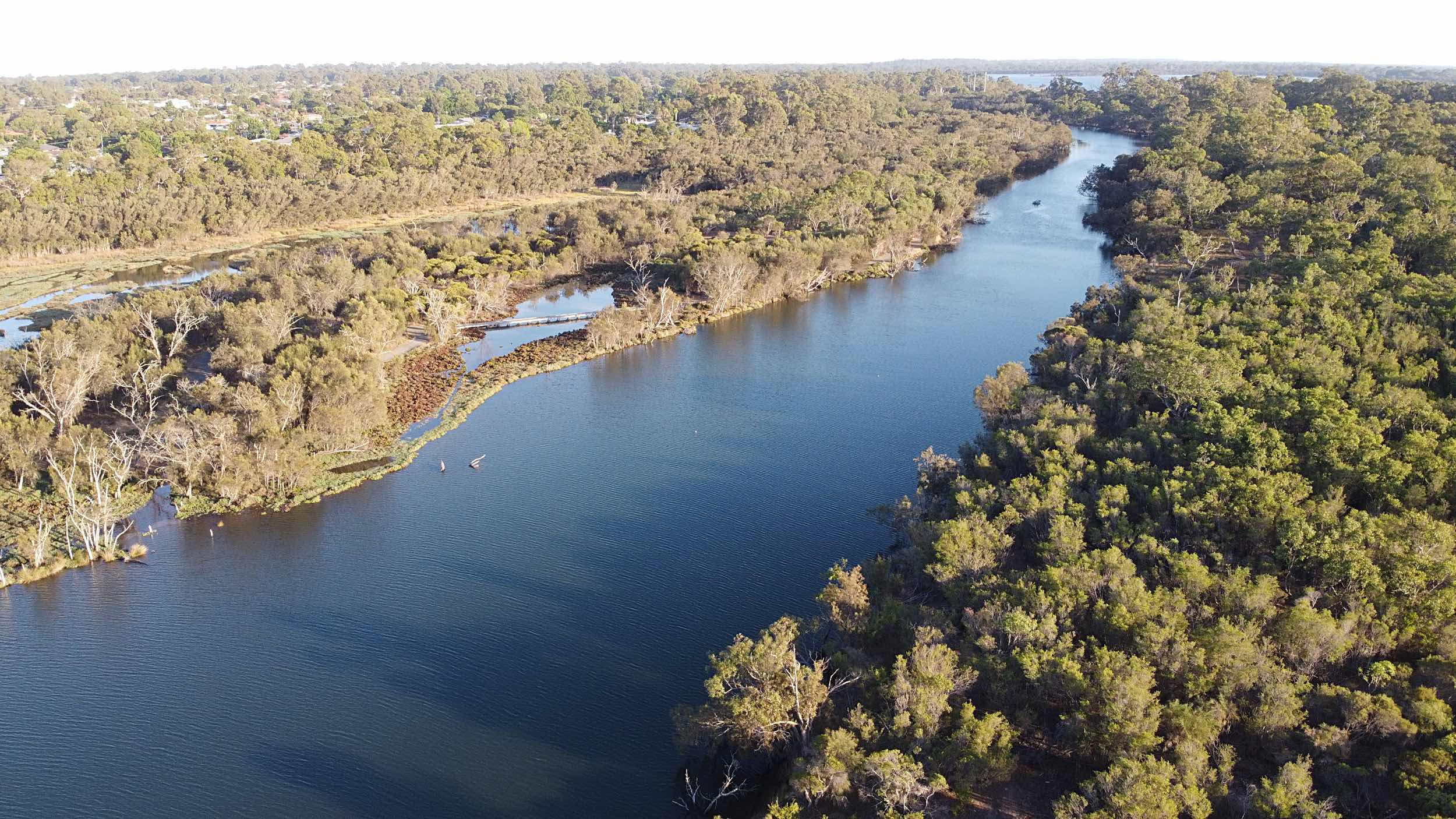
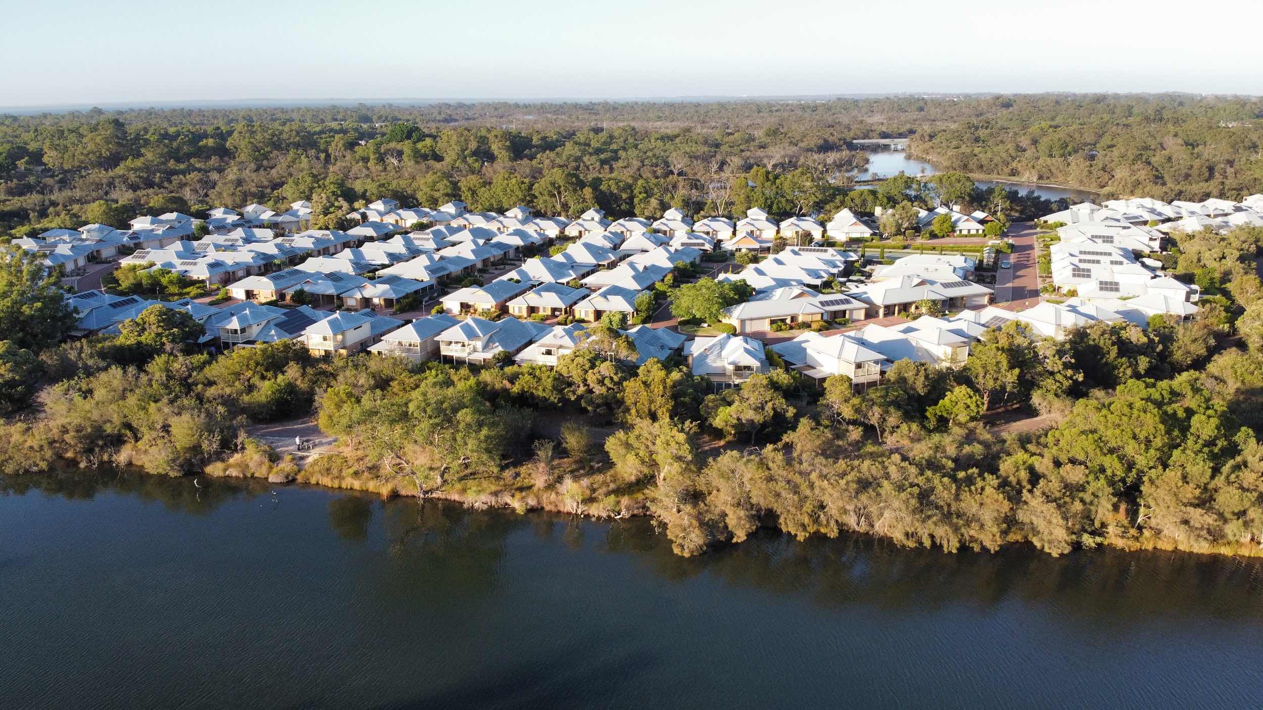
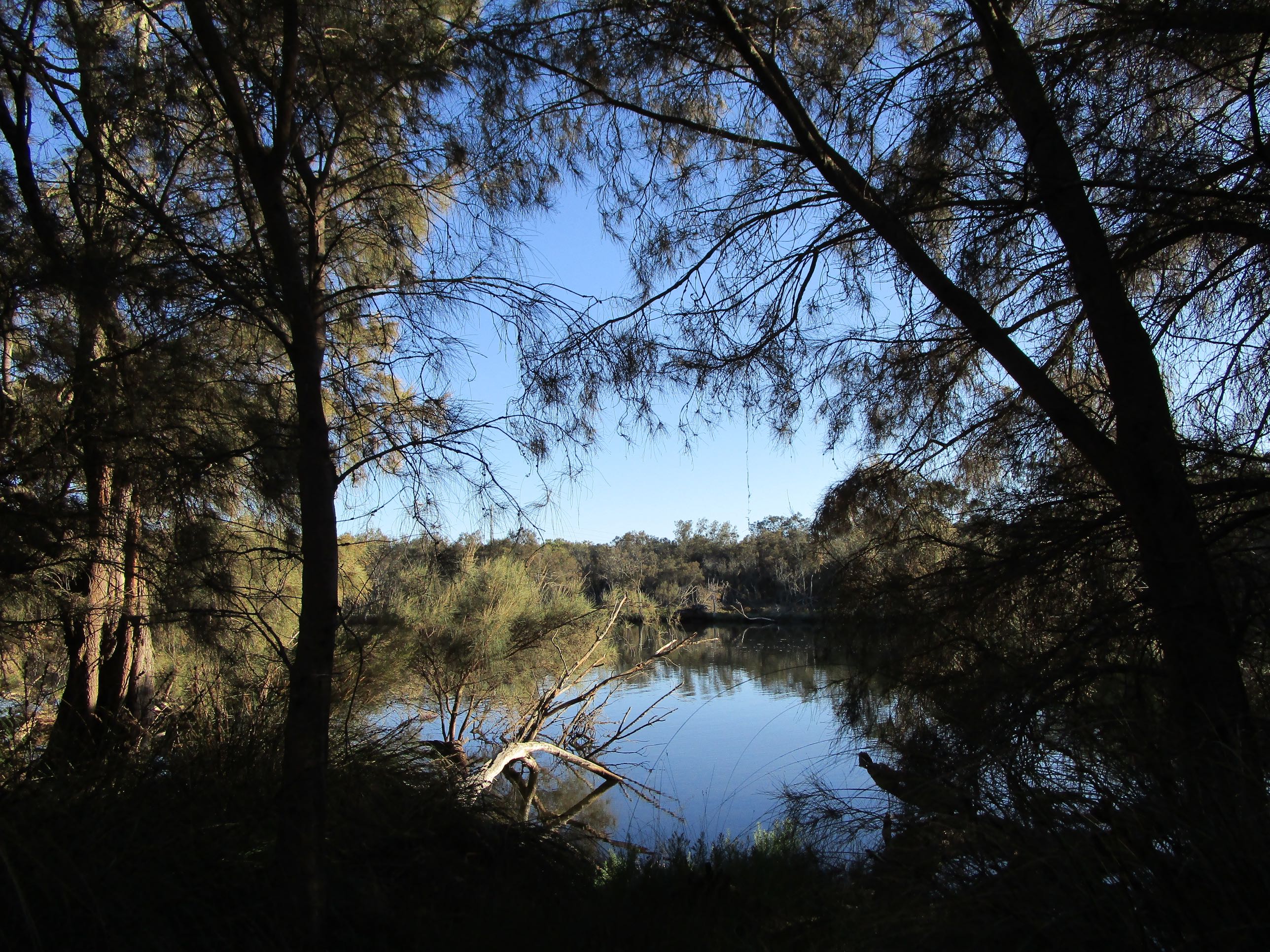
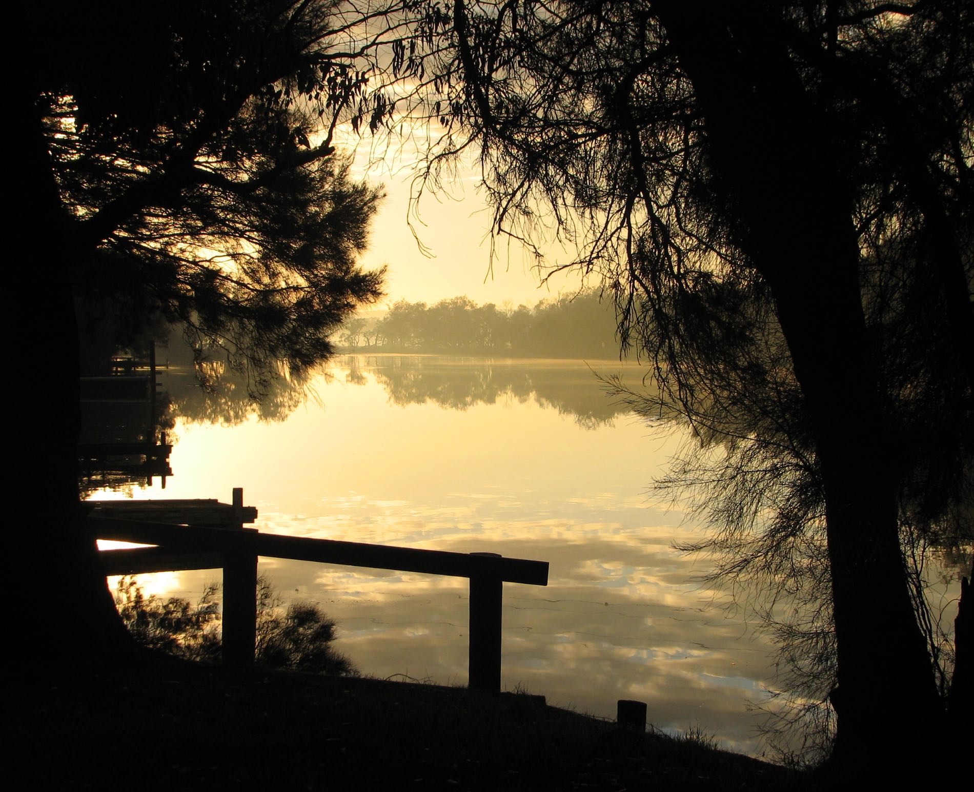
Serpentine River, Greenfields, a Mandurah suburb
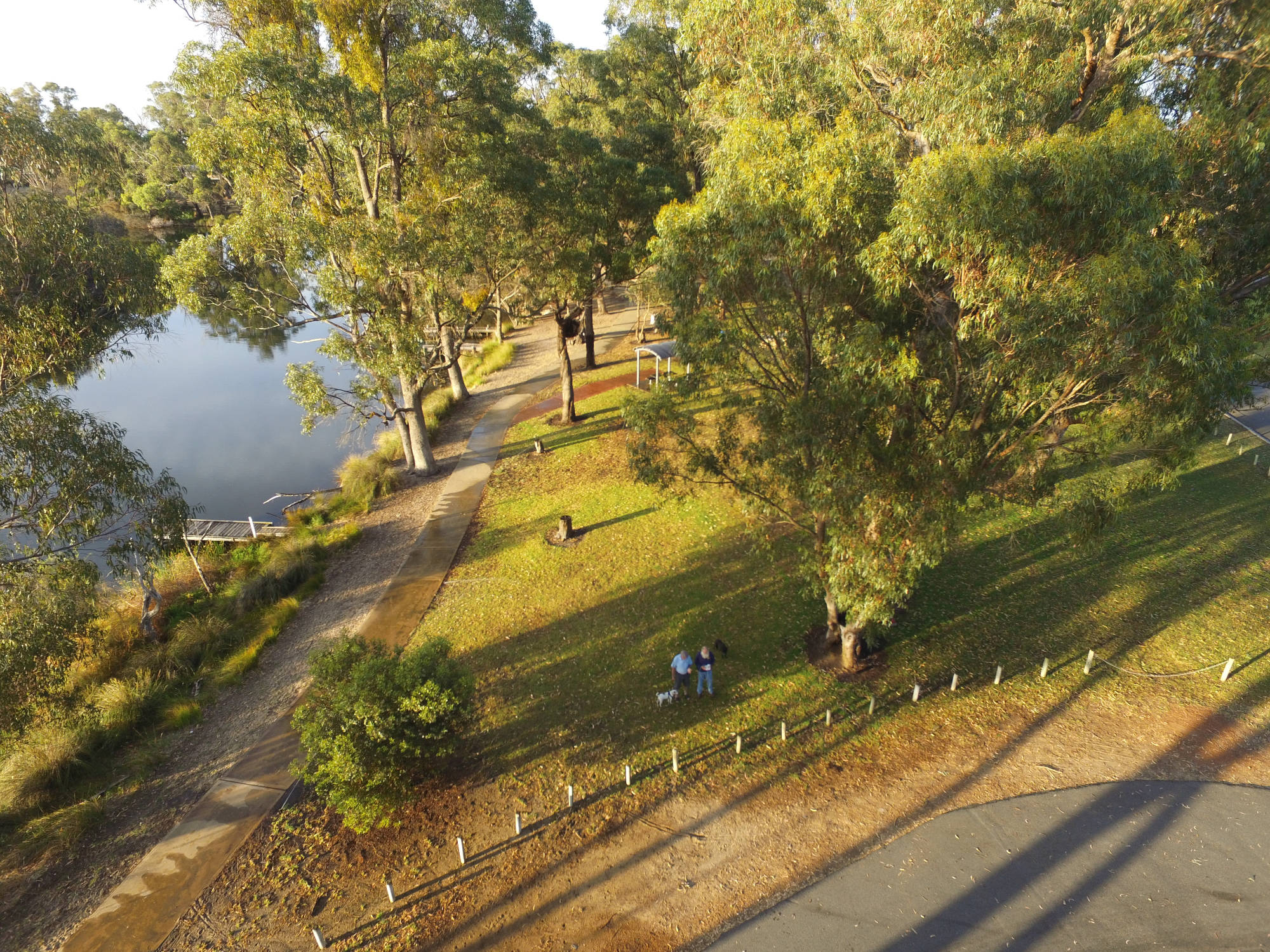
This was one of the first photos I took with my first drone, a Phantom 3 Advanced. Unfortunately, keeping up even a light conversation does not aid the concentration required to fly the drone and take photos, especially when you are learning.
Photo December 2015
Photo 2021/01/13, Canon Ixus 190
Photo iPhone 7, 2006/12/27
Photo iPhone 7, 2006/12/26
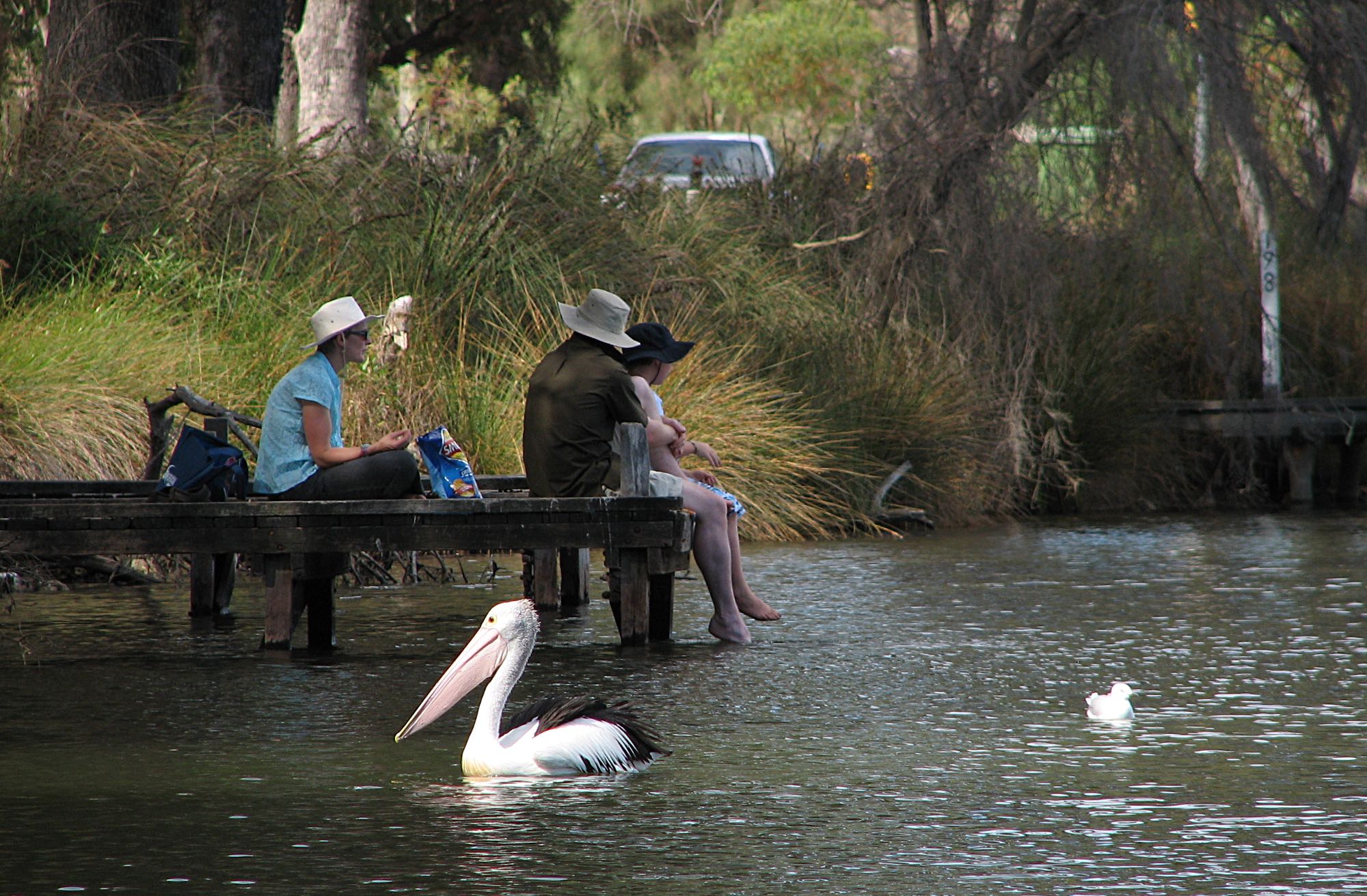
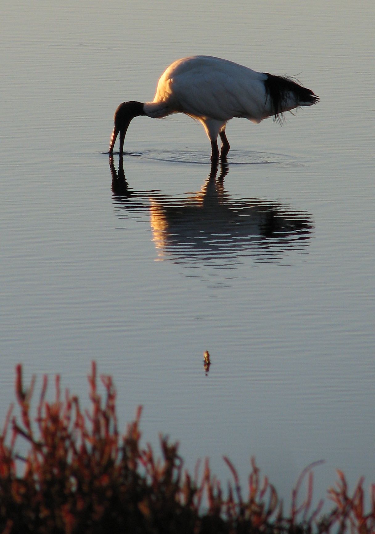
Australian pelican and silver gull. Riverside Gardens Reserve, Greenfields.
Photo iPhone 7, 2006/12/26
Photographed using a Canon Ixus 190, 2021/01/12
Photo Canon PowerShot S2 IS, 2008/06/03
Photo Canon PowerShot S2 IS, 2008/06/13
Photo Canon PowerShot S2 IS, 2008/06/13 |

|
Photo iPhone 7, 2006/05/25
Photo 2021/01/14, Canon Ixus 190
Photo iPhone 7, 2006/05/22
Photo iPhone 7, 2006/05/22
Photo iPhone 7, 2006/05/22
Photo iPhone 7, 2006/05/22 |
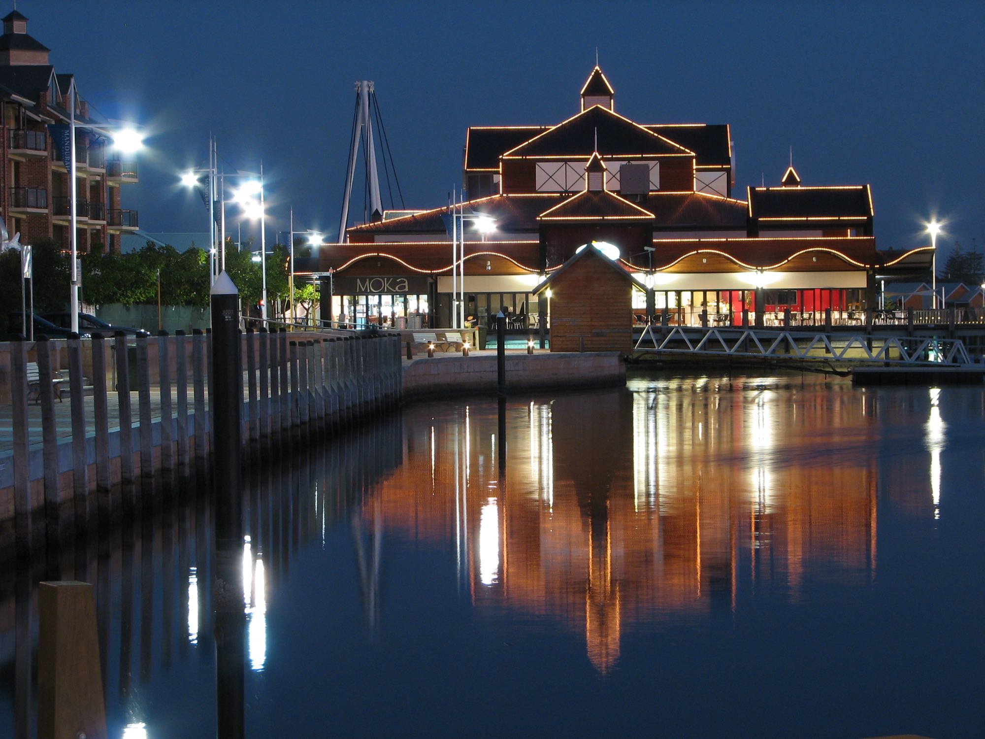
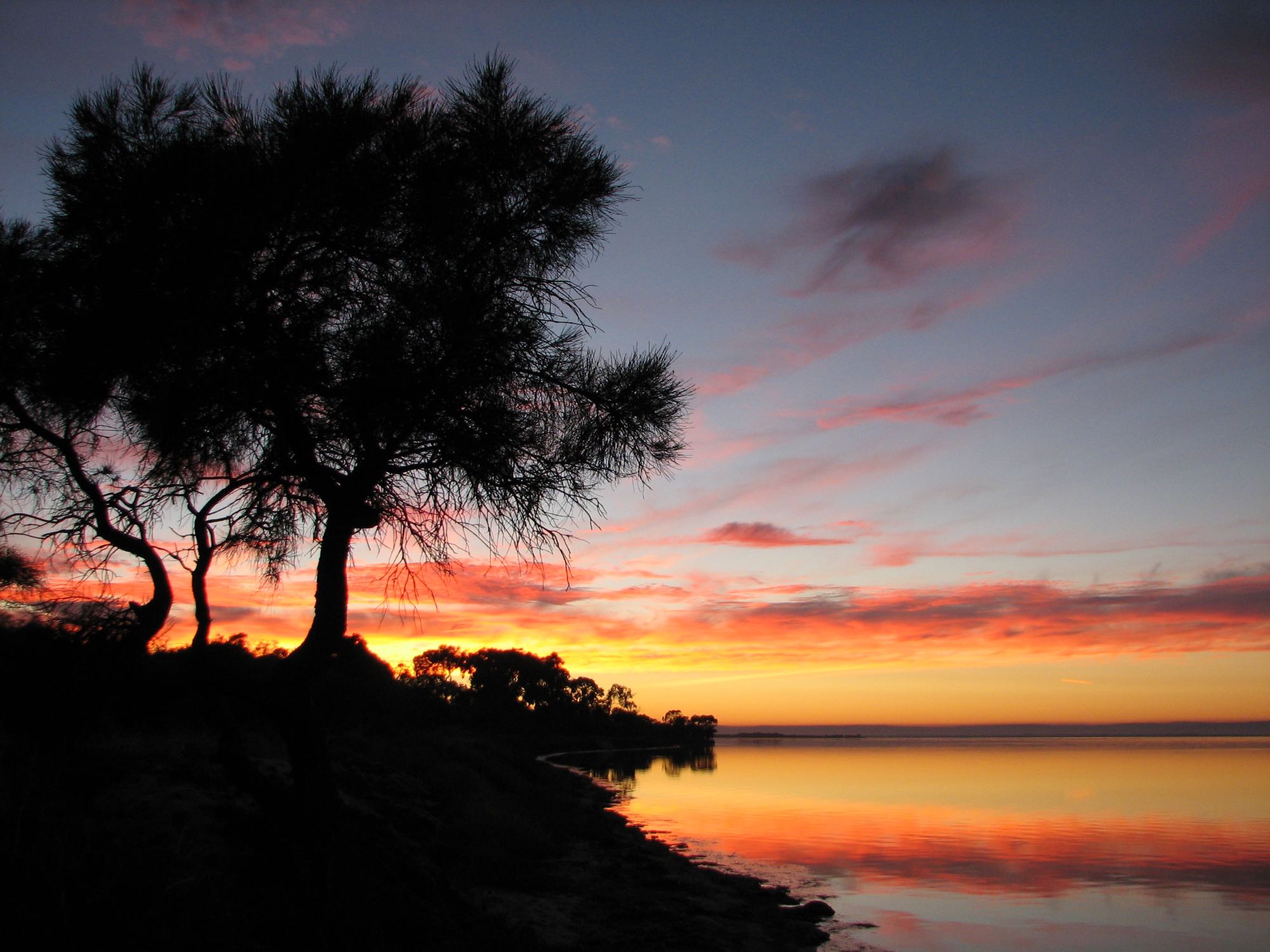
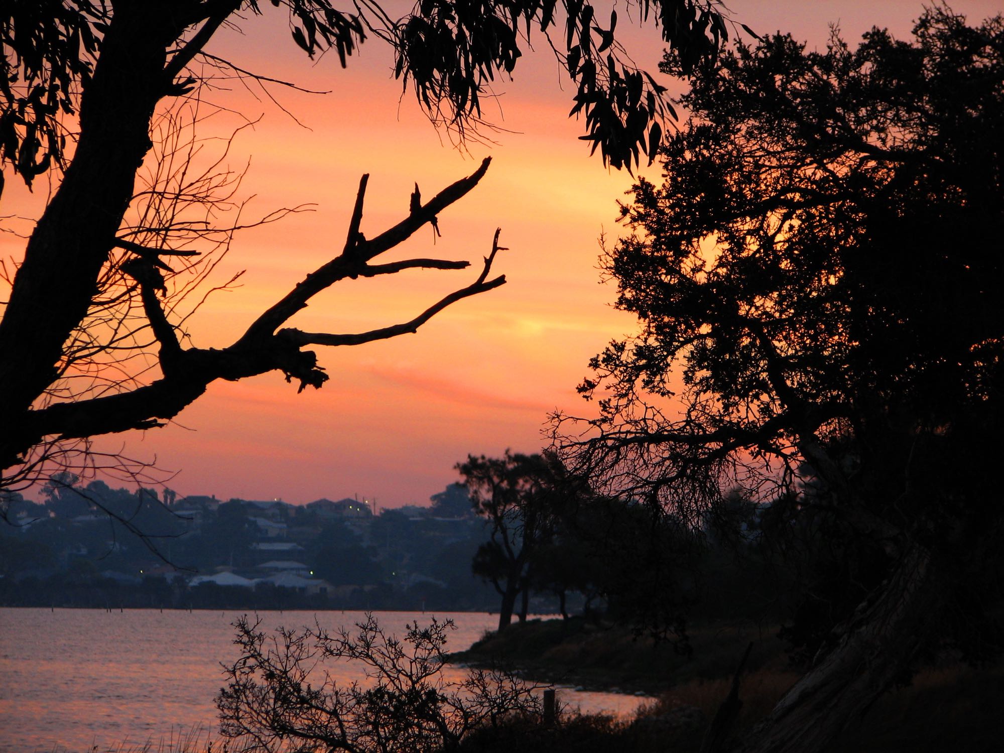
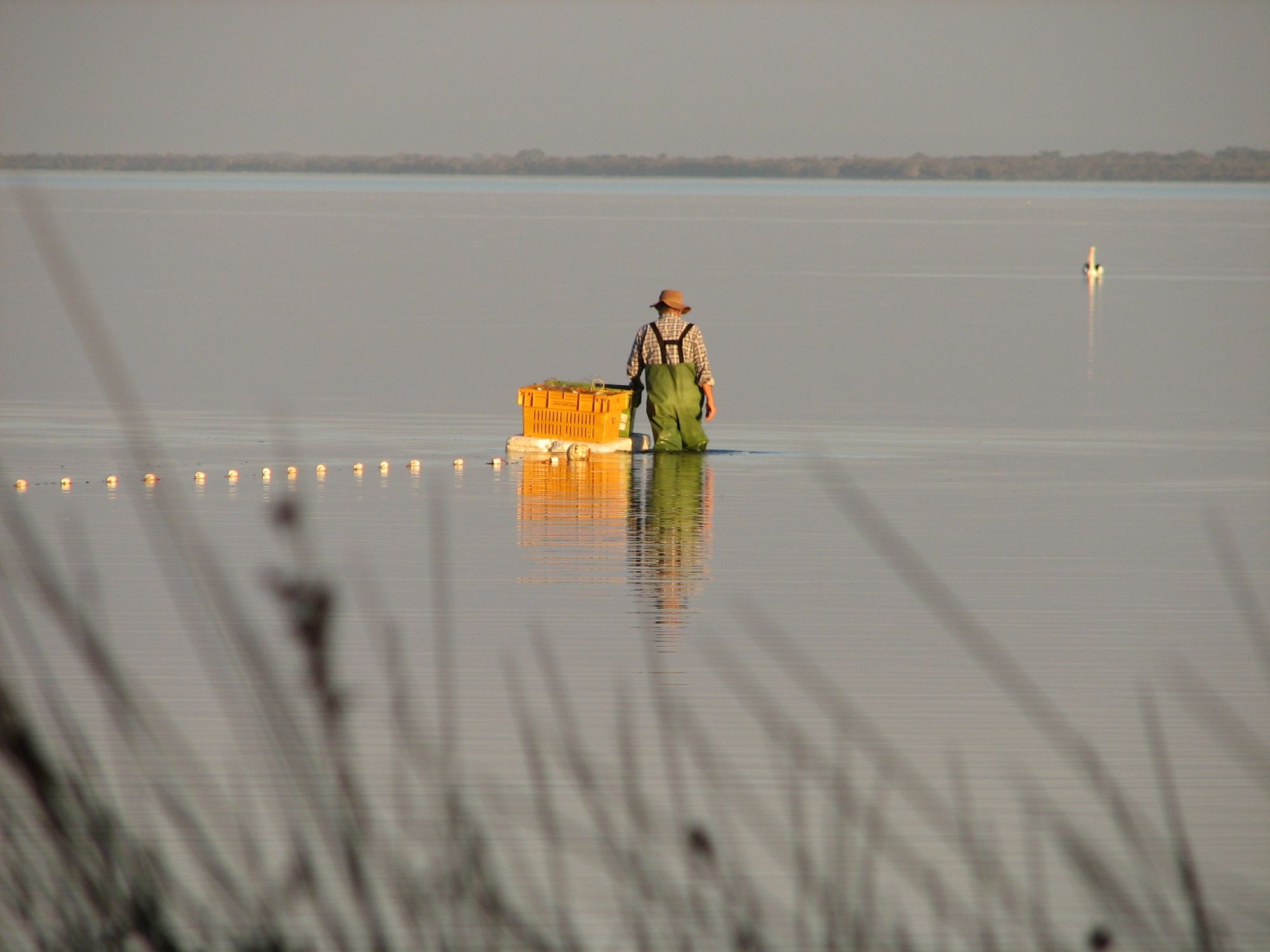
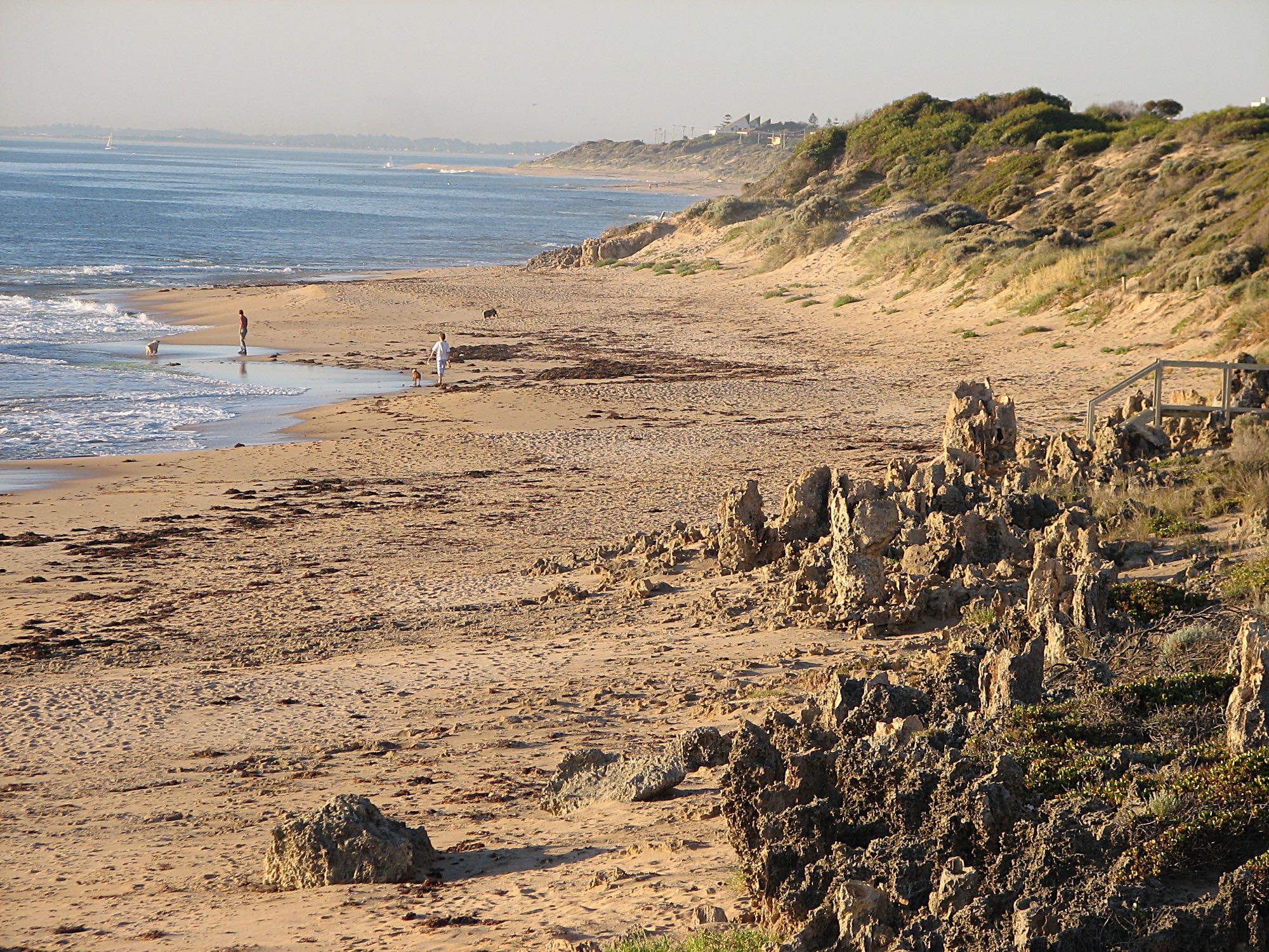
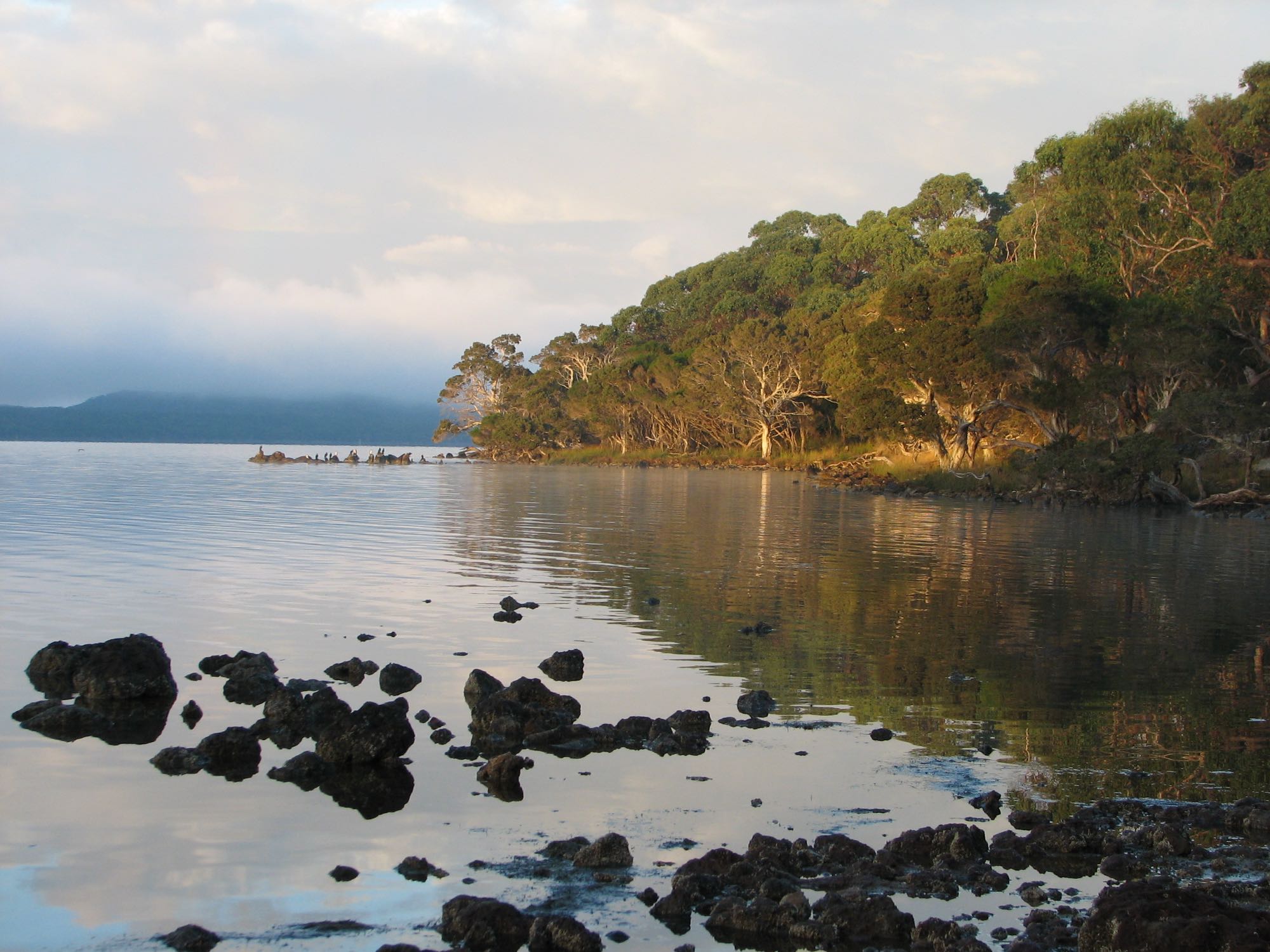
Peel Inlet, MandurahMost of the Peel Inlet photos taken in 2006 were in the Erskine area. |

|
Photo Canon PowerShot S2 IS, 2006/05/14 |
Photo Canon PowerShot S2 IS, 2006/05/13
Photo Canon PowerShot S2 IS, 2006/05/09
Photo iPhone 7, 2006/05/27
Photo Canon PowerShot S2 IS, 2006/05/10
|
|
|
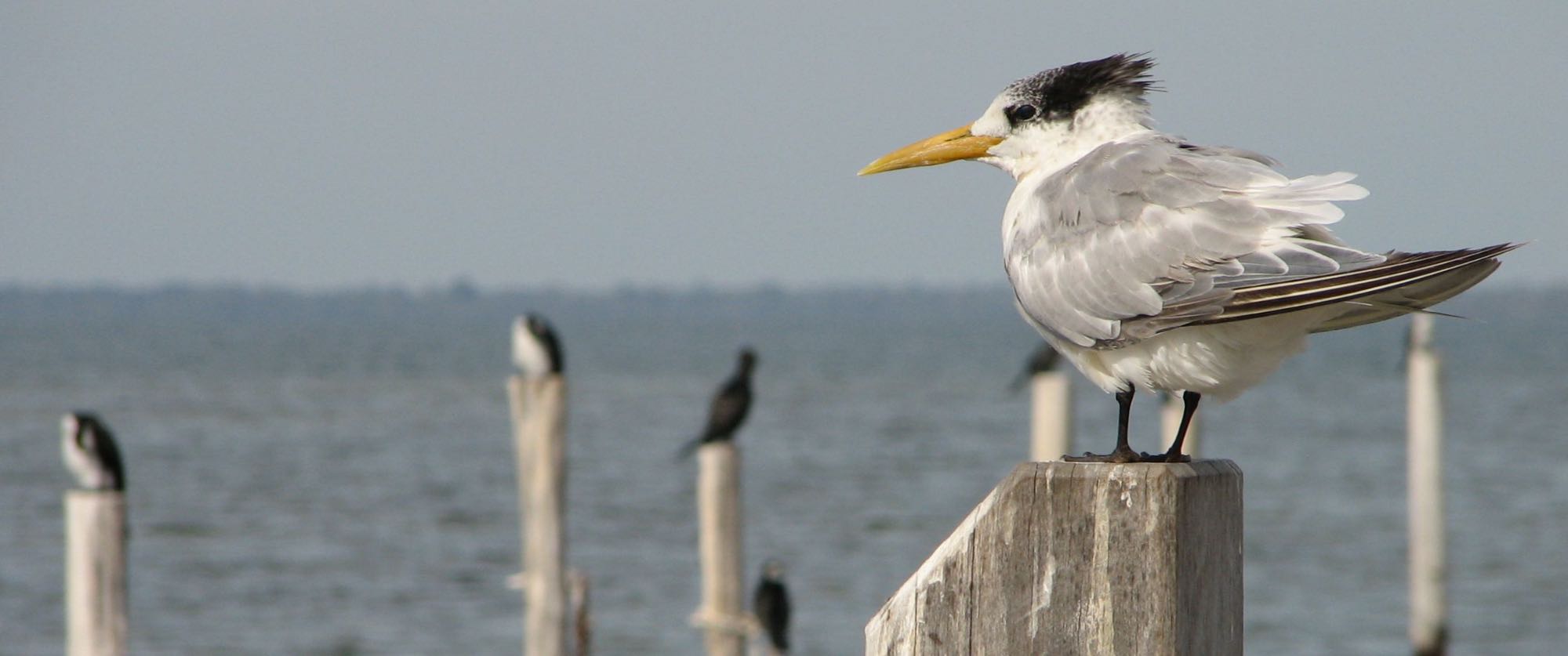
A Caspian tern (Hydroprogne caspia), with pied cormorants and the Peel Inlet in the background.
Photo Canon PowerShot S2 IS, 2006/05/09 |
Photo iPhone 7, 2006/05/29
Photo iPhone 7, 2006/05/29
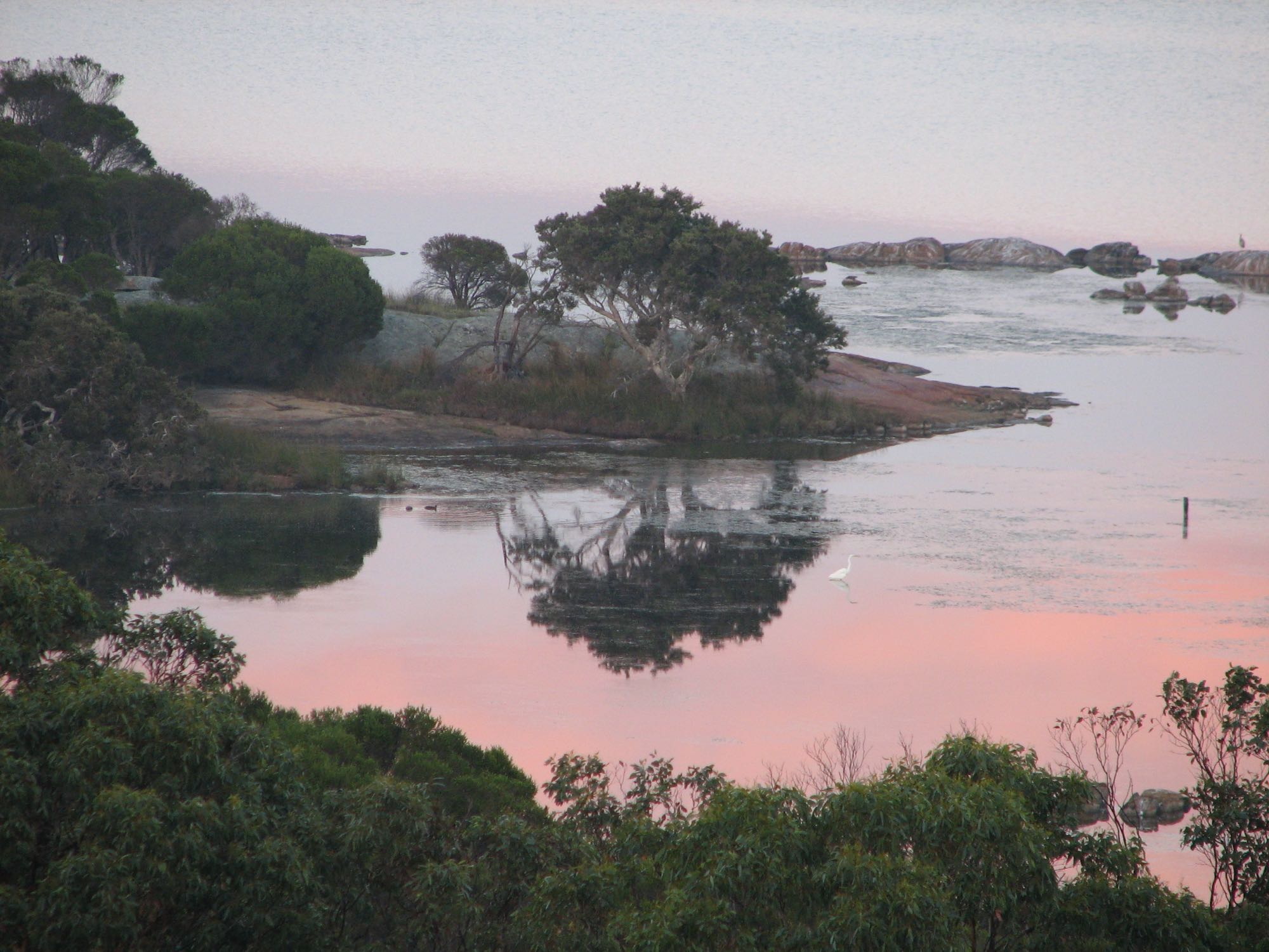
Len Howard Conservation Reserve, on the Peel Inlet, Mandurah
Photo iPhone 7, 2006/05/20
Photo iPhone 7, 2006/05/20
|

|
|
Left of centre is an egret (snowy egret? Egretta thula) and right of centre is a yellow billed spoonbill (Platalea flavipes). There seems little doubt that the other two would be one or other of those species, but the photo shows insufficient detail to be sure.
Photo iPhone 7, 2006/05/25 |
Photo iPhone 7, 2006/05/25
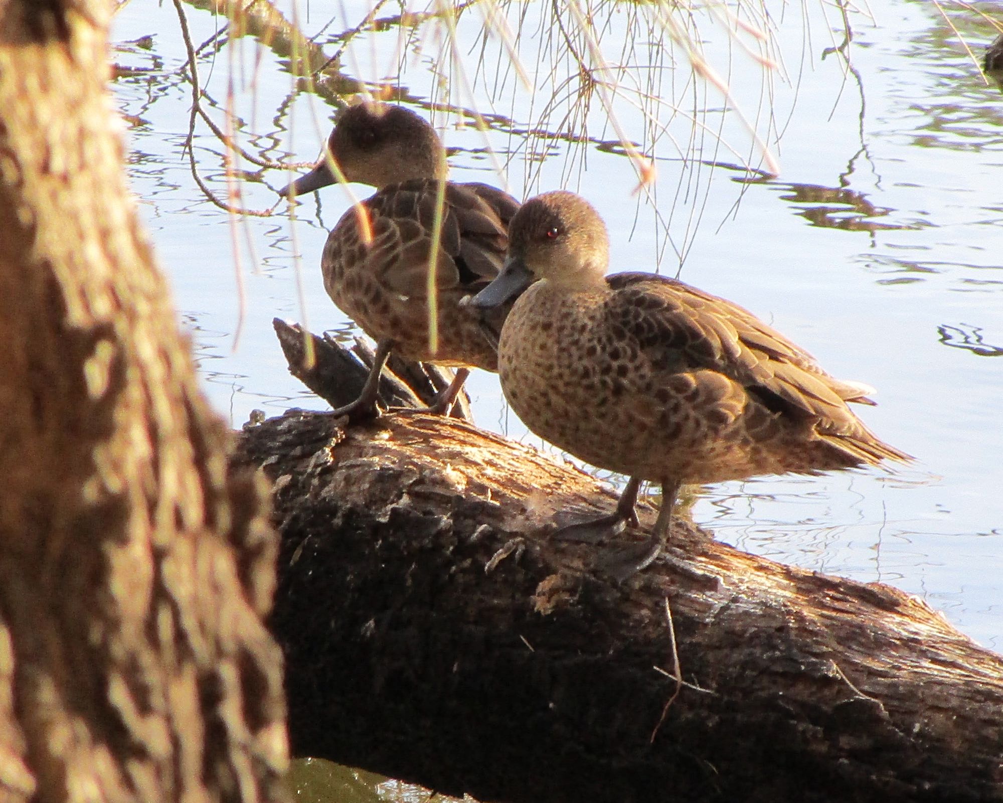
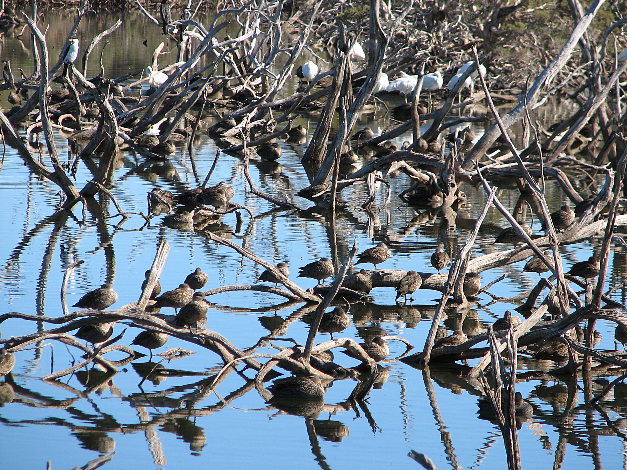
Anyway, in this little lagoon off the Peel Inlet in the Len Howard Reserve it is common to see a great many roosting or preening water birds. In the foreground are at least some Pacific black ducks (Anas superciliosa) and it seems like some grey teal (Anas gracilis), which look very similar. The Pacific black duck has a distinctive black line through its eye.
Photo iPhone 7, 2006/05/25
|

|
|
Yellow billed spoonbills in the same 'rookery' as the ducks above.
Photo iPhone 7, 2006/05/25 |
Photo iPhone 7, 2006/05/29
Halls Head (?), Mandurah
The limestone columns are remarkably similar to those of The Pinnacles, north of Perth. There are also a very few that can be seen from the train just a few kilometres north of Mandurah. Photo iPhone 7, 2006/05/11 |

|
Photo Canon PowerShot S2 IS, 2006/05/12 |
Dwellingup is a small town in the Darling Range that runs roughly parallel to the coast. The rocks of the Darling Range (alternatively called the Darling Scarp) are some of the oldest in Australia and the world, about two and a half billion years.
Photo Canon PowerShot S2 IS, 2006/05/12
Photo Canon PowerShot S2 IS, 2006/05/12 |

|
|
Living thrombolites at Lake Clifton. There are also ?imitation and ?fossil thrombolites at Zamia Park, a part of Kings Park in Perth. (I have given a little explanation and a link on thrombolites and the similar stromatolites in that section of this page.)
Photo Canon PowerShot S2 IS, 2006/05 |
Photo Canon PowerShot S2 IS, 2006/05/13 The west coast of WA is one of the best places for harvesting clean, sustainable wind energy. A wind farm was proposed for the Lake Clifton area, but the proposal was dropped because of the selfish opposition from a number of the local people who placed their personal aesthetic preferences before the urgent need for action on reducing the emissions from fossil fuels. The burning of fossil fuels is widely recognised as the main cause of climate change, ocean acidification, sea level rise and ocean warming. The air pollution from the burning of fossil fuels kills millions of people world-wide each year. I have written elsewhere about why I support a wind farm proposed near my house and why might someone oppose wind power.
Perth |
|
|
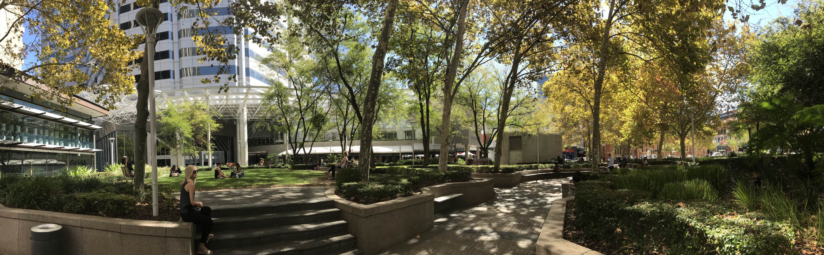
A beautiful park on the south side of Hay Street in the Perth CBD.
I sometimes enjoy a few minutes relaxing in this park after donating blood at the nearby blood bank.
Photo 2018/04/03, Apple iPhone |
|
|
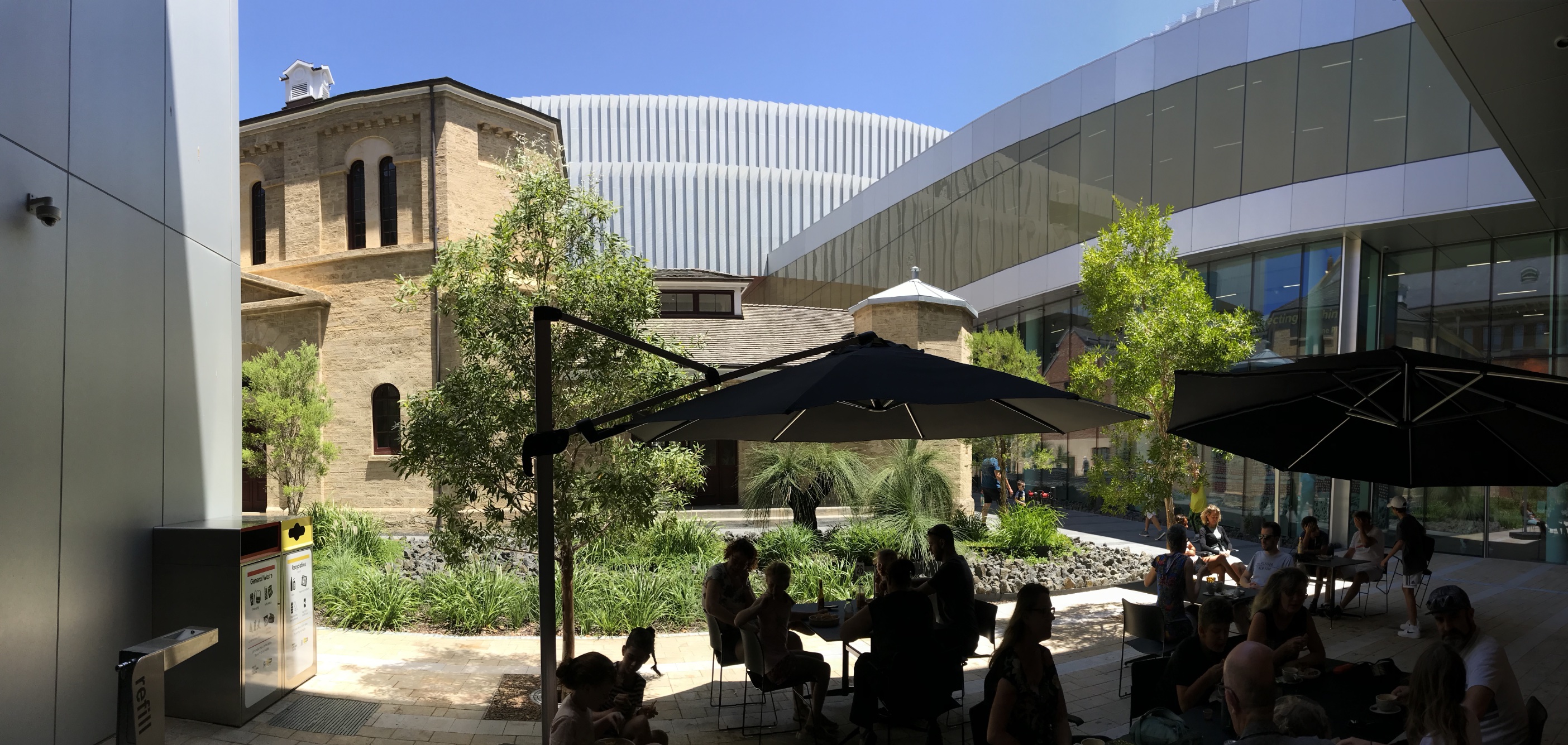
The Western Australian Museum was closed for more than four years for renovations.
But the rebuilt museum is extremely good, perhaps worth the wait. Photo 2021/12/30 |
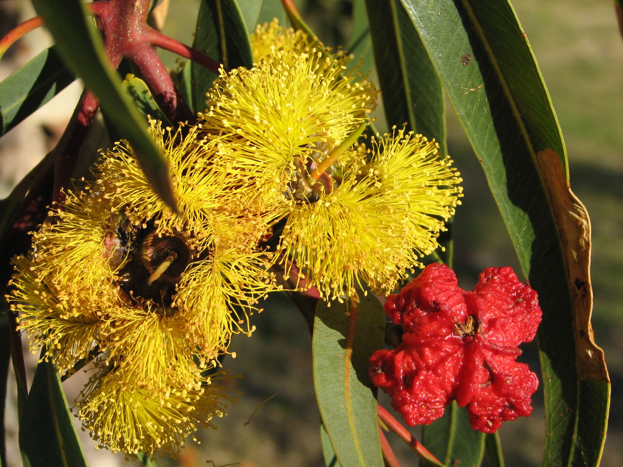
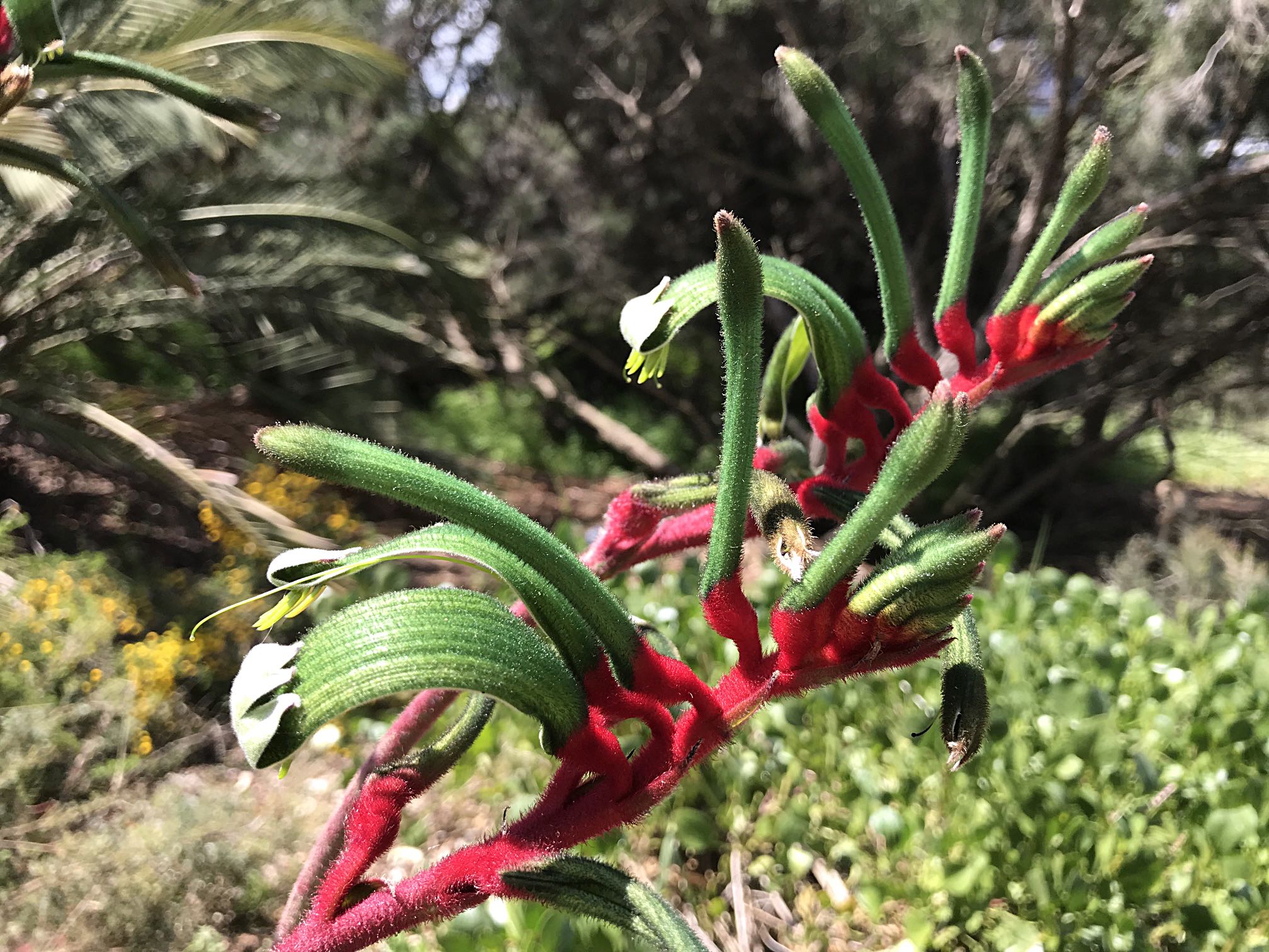
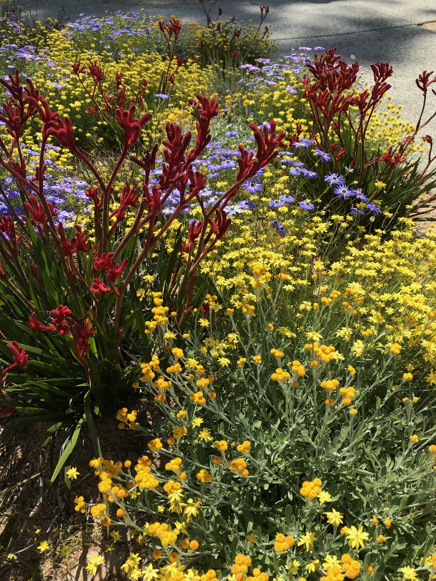
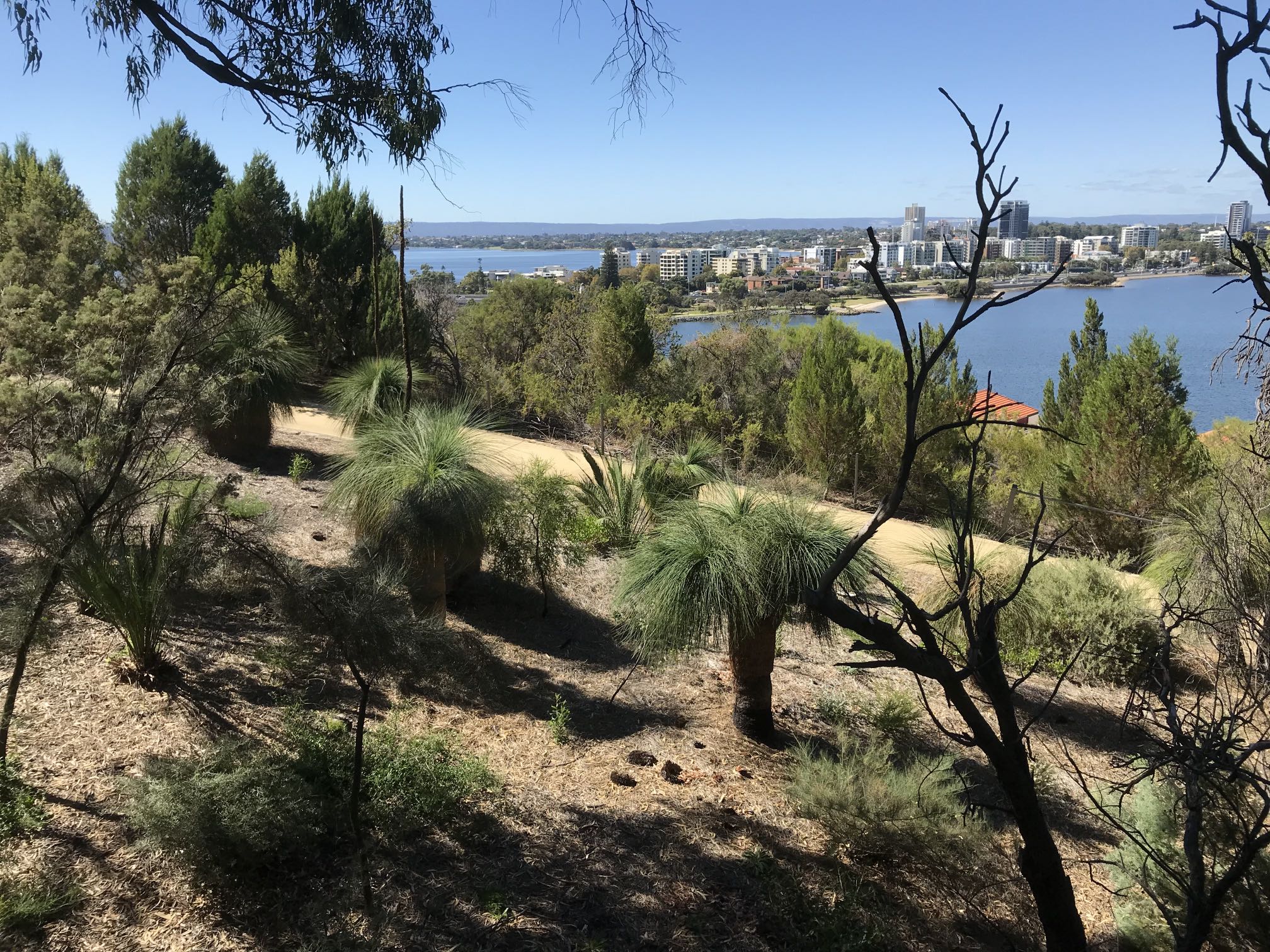
Kings Park, Perth
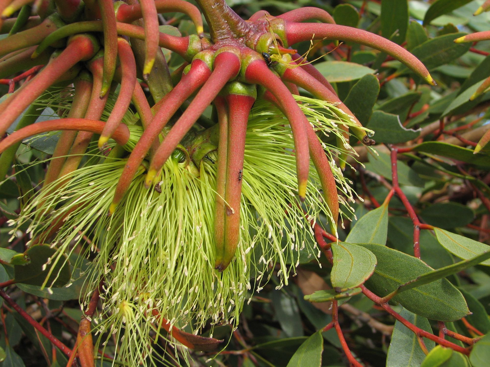
Kangaroo paws (Genus Anigozanthos, kangaroo paws and catspaws)
Photo iPhone 7, 2018/09/26
Photo iPhone 7, 2018/09/26
Yaccas (and the similar looking but unrelated Kingia) are distinctively Australian, for more information on the genus see Wikipedia. Photo iPhone 7, 2018/09/28
Photo iPhone 7, 2018/09/26
Photo iPhone 7, 2021/01/10
Zamia Park, a part of Kings Park
Quoting the sign in the foreground, "Stromatolites and thrombolites are lumpy, layered living rocks. They are built by slimy, microscopic life forms with ancient ancestors, called cyanobacteria. Once found in oceans, lakes and swamps with enough light, today stromatolites and thrombolites only occur in bays and lakes with a rich supply of limestone. Stromatolites and thrombolites are easily damaged and are protected in the Shark Bay World Heritage Area and Lake Clifton by boardwalks." Photo iPhone 7, 2018/09/26
For more information see stromatolites and thrombolites in Wikipedia.
Living stromatolites occur in Hamlin Pond at Shark Bay and thrombolites occur in Lake Clifton, both in Western Australia. Stromatolites also occur in some of the salt lakes in Innes National Park of South Australia and precambrian fossil stromatolites occur in the Flinders Ranges of SA.
Photo iPhone 7, 2018/09/26
|
|
|

|
|
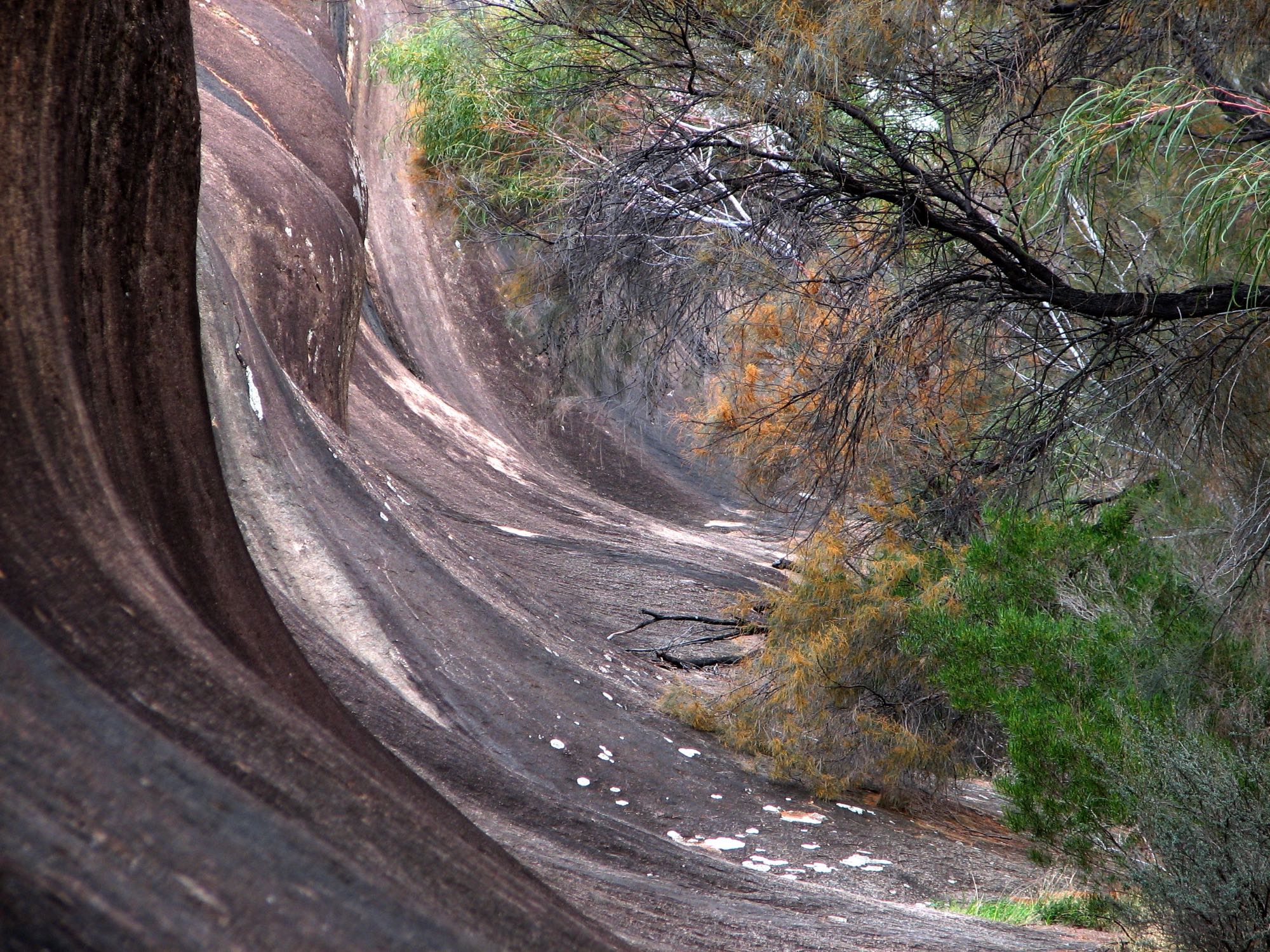
Wave Rock is something like half-way between Perth and Norseman, the beginning of the Eyre Highway. It is on the Granite Woodland and Discovery Trail.
Quite a long way from anywhere very much, but well worth a visit.
I don't know the people in this photo, but it was fortunate that they were there, they greatly improved the image. Photo iPhone 7, 2006/05/31 |
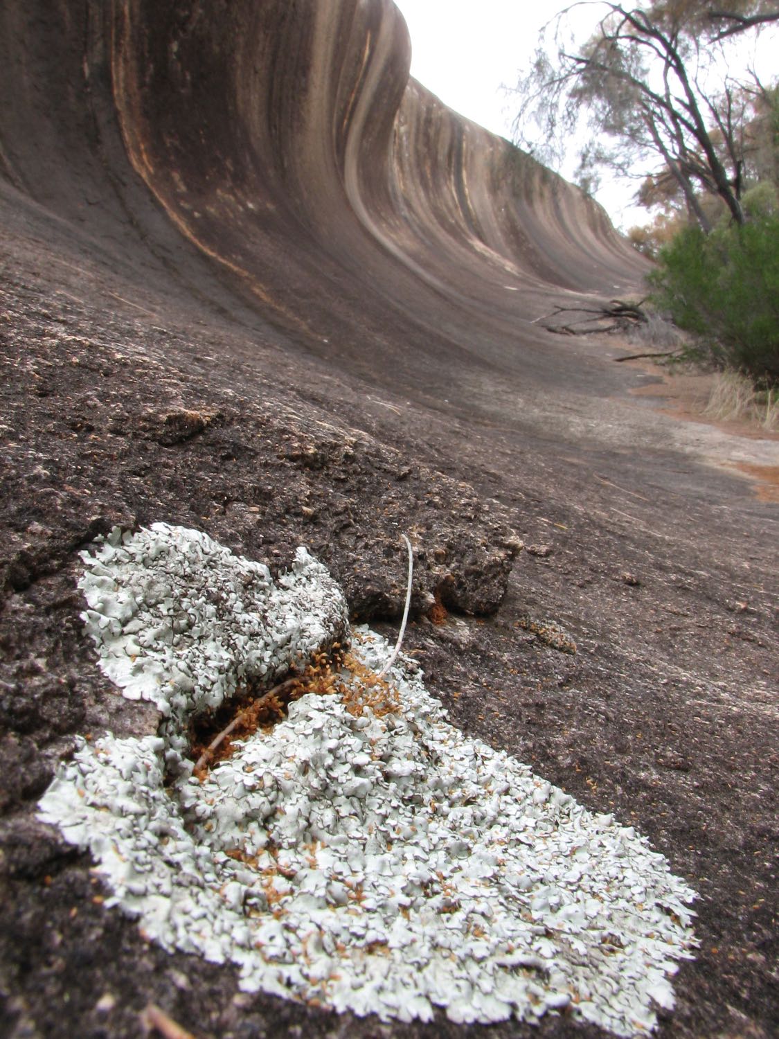
Photo iPhone 7, 2006/05/31
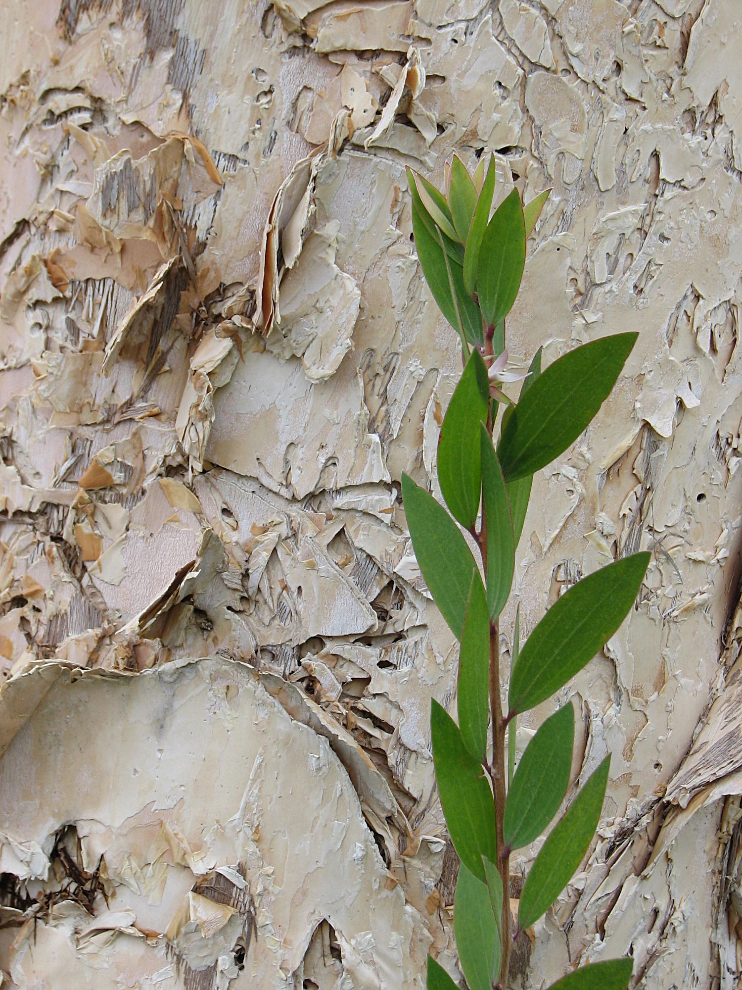
Lichen also features on my page of macrophotos.
Photo iPhone 7, 2006/05/31
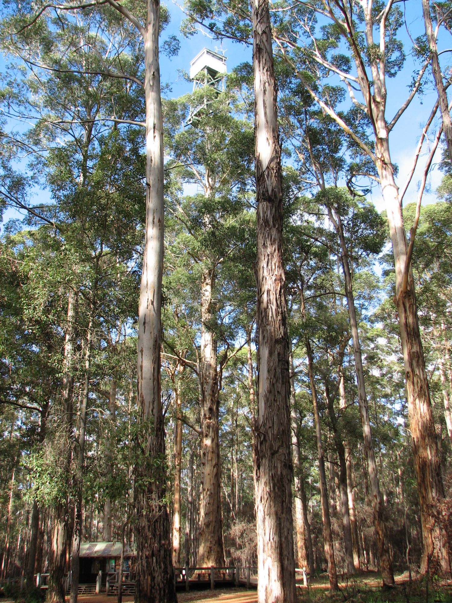
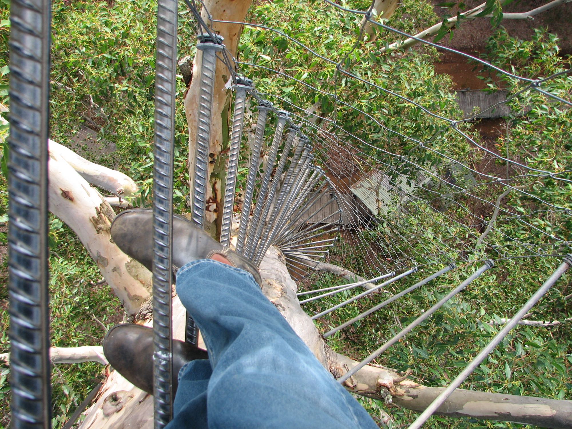
ManjimupDiamond Tree
I was not surprised when I looked up the Diamond Tree at the time of writing to see that it "is now permanently closed to climbing". However, the closure was not due to an excessive concern about possible accidents, it was due to an apparently reasonable concern over fungal rot in the tree. The two similar fire-watch trees, the Gloucester and Bicentennial trees, were still open for the public to climb.
Photo iPhone 7, 2018/05/19
Photo iPhone 7, 2006/05/19
My granddaughter, Anna Uren, also climbed it later, about 2017, when she was about seven. Photo iPhone 7, 2006/05/19
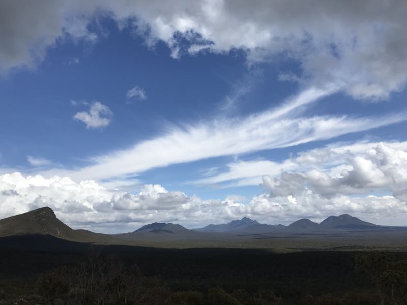
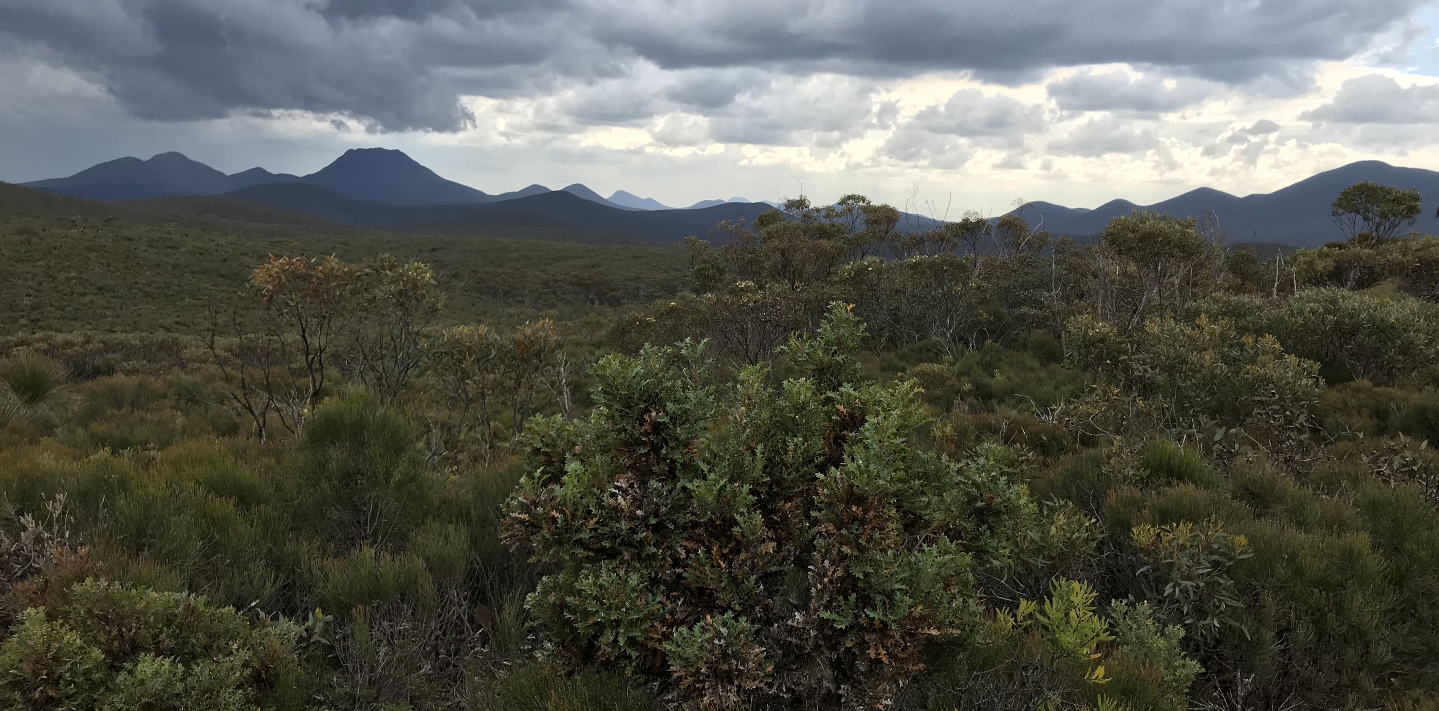
Stirling RangeI've posted more photos and written about a later, September 2022, visit to the Stirling Range elsewhere on this site.
Stirling Range vicinity
Photo Canon EOS 350D DSLR, 2009/10/08
Coincidentally, a great grand uncle of mine, John Dunn, in 1842 owned a flour grinding windmill near Nairne in South Australia, before changing to steam powered flour milling.
Photo Canon EOS 350D DSLR, 2009/10/08
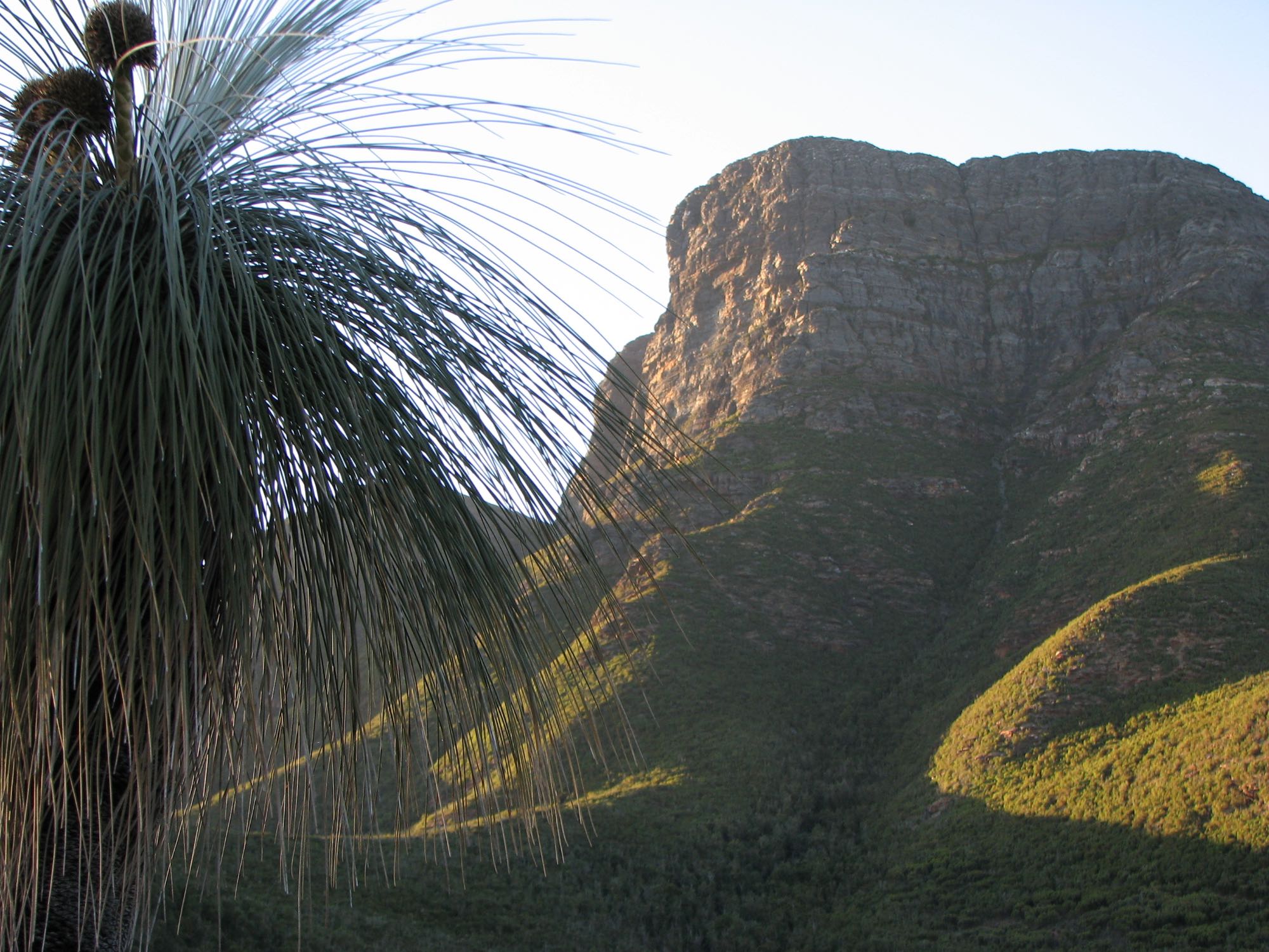
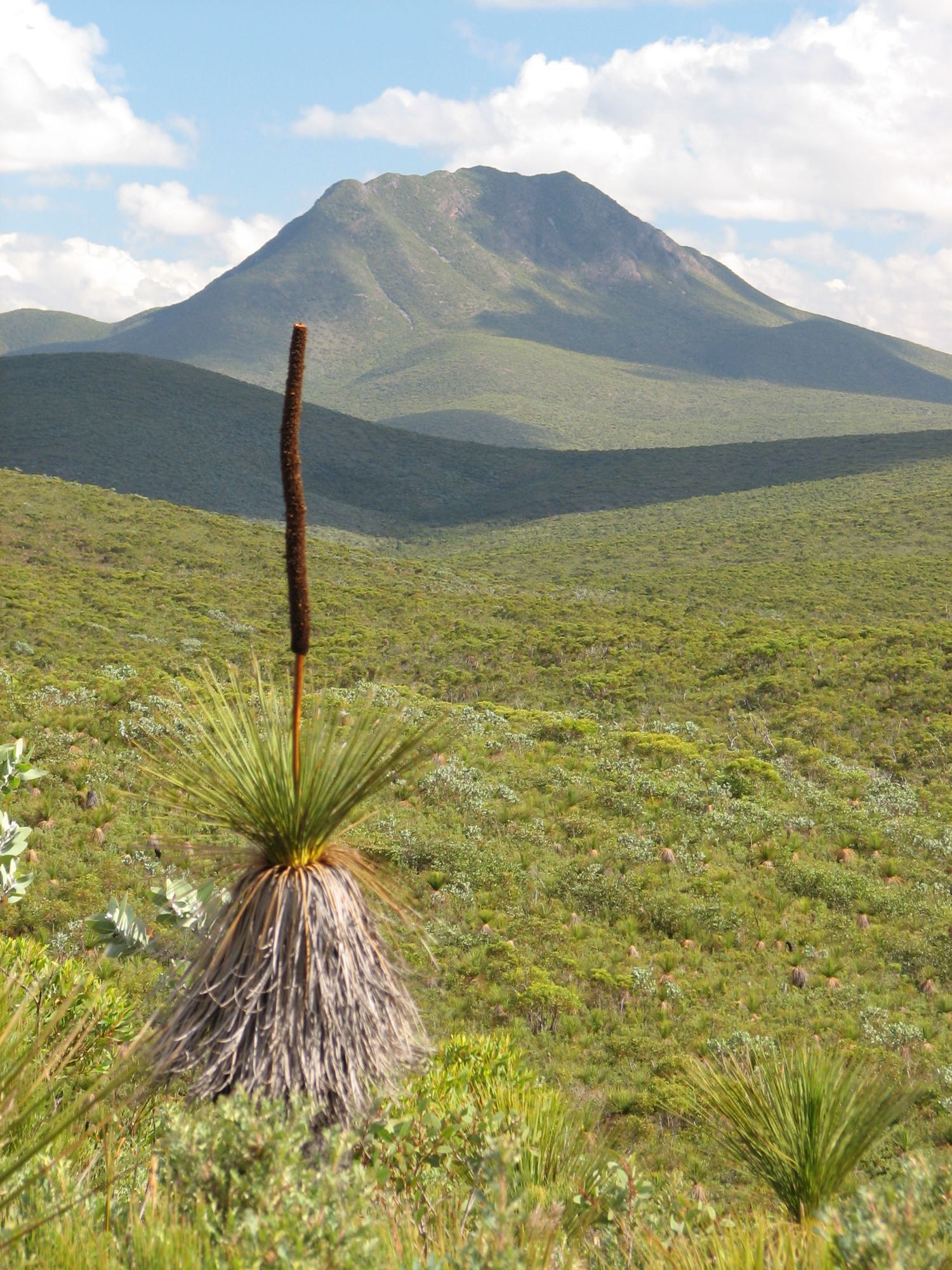
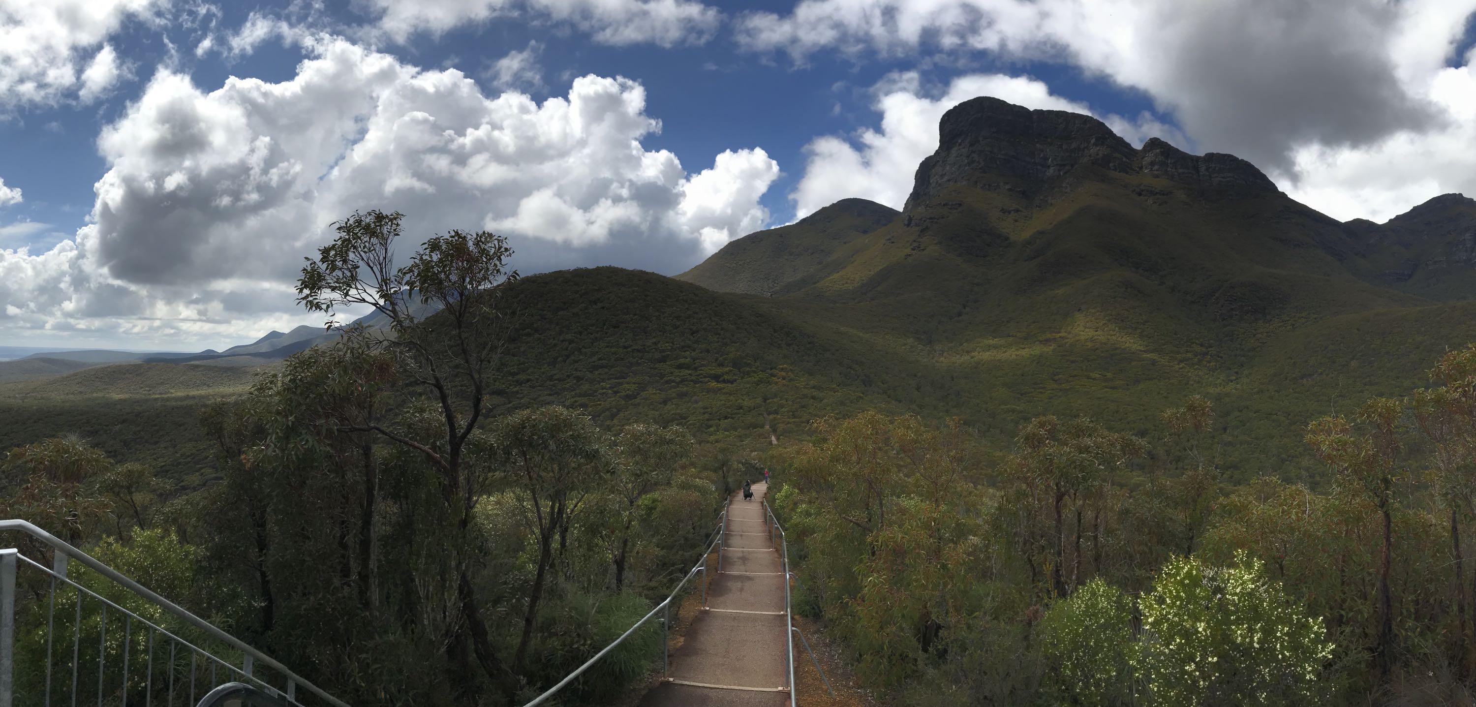
Bluff Knoll |
|
|
Bluff Knoll, the highest peak in the southern half of Western Australia.
I climbed Bluff Knoll about 1961, on my first visit to Western Australia. At the time the road across the Nullarbor had an unsealed section of several hundred kilometres, from Penong in SA to the border as I recall.
Photo 2018/10/05 |
The grass tree on the left is only distantly related to the superficially very similar Xanthorrhoea. This is Kingia australis. The seed heads of the two species are very different; this one has a short stalk with a 'knob' on the end, the Xanthorrhoea seed head is a long, usually straight, stem. Kingia occur naturally only in WA, Xanthorrhoea can be found in many parts of Australia. See Wikipedia for more information on the Kingia species.
Photo Canon PowerShot S2 IS, 2006/05/16
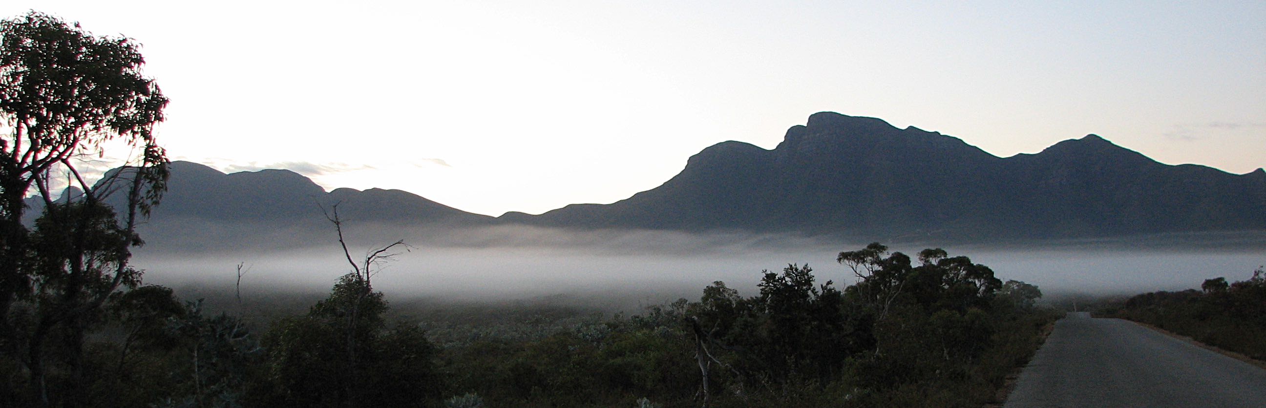
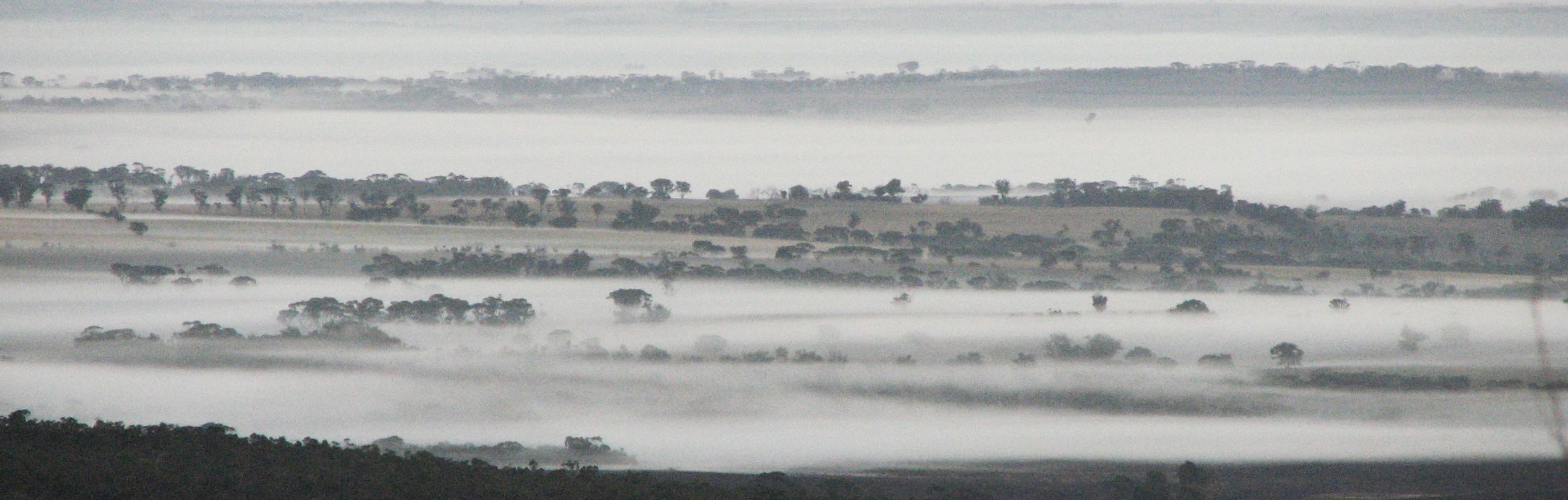
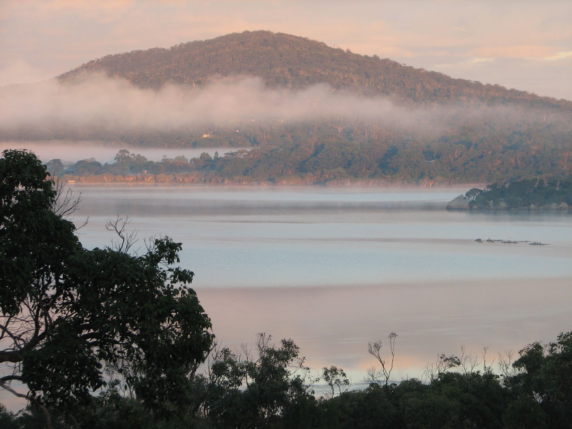
A shot looking toward the west from the Bluff Knoll car park early in the morning. An area of ground-hugging mist is visible beyond what must be an area burned by bushfire. Photo Canon PowerShot S2 IS, 2006/05/16
Bluff Knoll is near the eastern end of the Stirling Range.
Photo iPhone 7, 2018/10/05
|
|
|
|
Looking back over the ground-hugging mist from the elevated ground at or near the Bluff Knoll car park.
Photo Canon PowerShot S2 IS, 2006/05/16 |
|
|
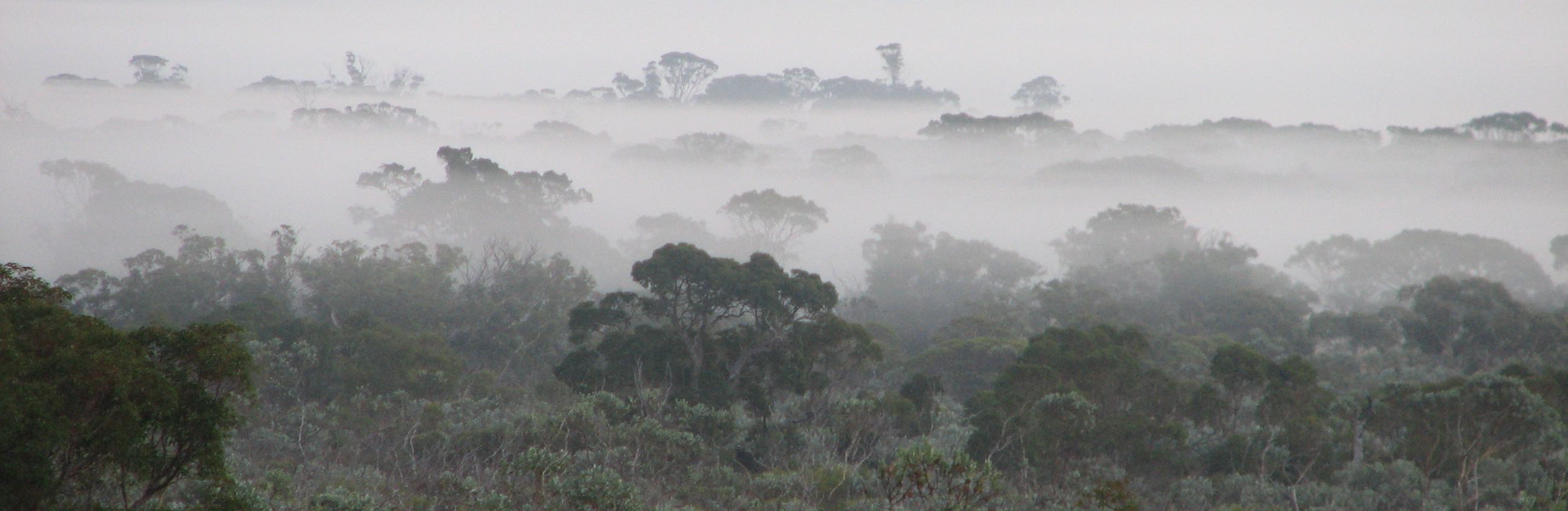
A more distant view of the ground-hugging mist.
Photo Canon PowerShot S2 IS, 2006/05/16 |
Stirling Range compared to Flinders Ranges and the Grampians;
It has long intrigued me that while the Stirling Range is comparable in beauty to the Flinders Ranges of South Australia and the Grampians of Victoria there is very little accommodation and other development for nature lovers in the near vicinity.
|
|
|
The Flinders Ranges covers much the greatest area of the three, 30,000 square kilometres, 400 kilometres from south to north; the Grampians covers about 2,400 square kilometres, 85 kilometres south to north and the Stirling Range covers about 1,100 square kilometres, 60 kilometres east to west. I should also mention the much smaller Porongurup range here too, about 12 kilometres long and 30 square kilometres in area, 30 kilometres south of the Stirling Range. The Porongurups are much more developed for tourism than the Stirling Range.
There is much to attract anyone with a love of nature, geology, botany, wildflowers, views and hiking in all three (or four). A difference between them is that while only parts of the Flinders Ranges are protected by national parks, all of the Stirling Range and Grampians are within specific national parks (or forestry reserves in some parts of the Grampians). The Stirling Range National Park in particular contains largely undisturbed bush.
Another difference is that while the Grampians and particularly the Flinders geology is dominated by distinctly bedded and folded sedimentary rocks, forming long typical cuesta ridges, the very ancient (1.2-2 billion year-old) rocks of the Stirling Range are metamorphic and lack the conspicuous bedding of the other ranges. (The Porongurups, of similar age to the Stirling Range, are remnants of granite intrusions.) The Flinders Ranges are also known for their colour, showing more of the red of the arid inland than the other ranges.
The distance from Adelaide to the most popular part of the Flinders Ranges (440km) is similar to the distance from Perth to the Stirling Range (400km). The Grampians are 260 kilometres from Melbourne and 460 kilometres from Adelaide.
The relative lack of interest in WA's Stirling Ranges is a mystery to me. The fact that they cover a smaller area than the Grampians and Flinders would be a factor, but the Porongurups are even smaller and are much more developed for tourism. It could be a matter of few people go, few people spend time there because there are few facilities and there are few facilities because few people go and spend time there; a 'catch 22' situation. Another relevant factor would be the great distance from the big population centres of the Australian east coast and the fact that there is plenty to attract interstate visitors to WA that is closer to Perth.
|
The Stirling Range is not far from the Porongurup Range which seems to be geologically distinct but also has a number of attractions (and more accommodation and other developments). Photo iPhone 7, 2018/10/05 |
YaccaA telephoto view toward the west from the Bluff Knoll car park; a Xanthorrhoea in the foreground.
Photo Canon PowerShot S2 IS, 2006/05/16
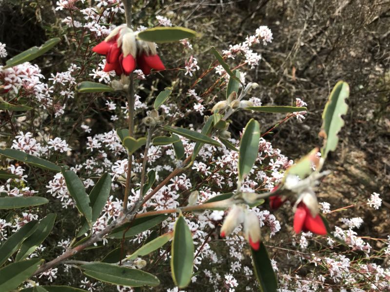
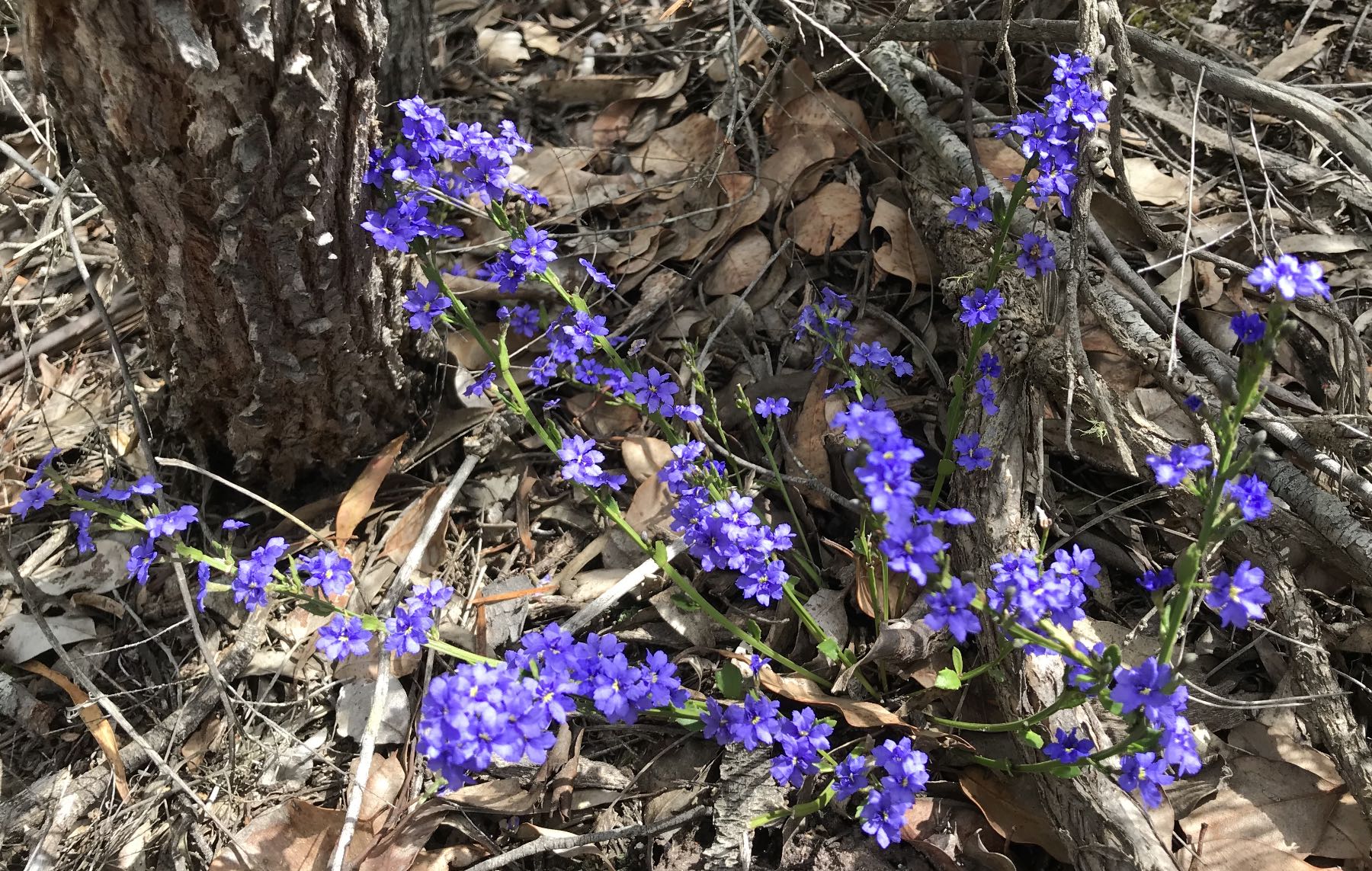
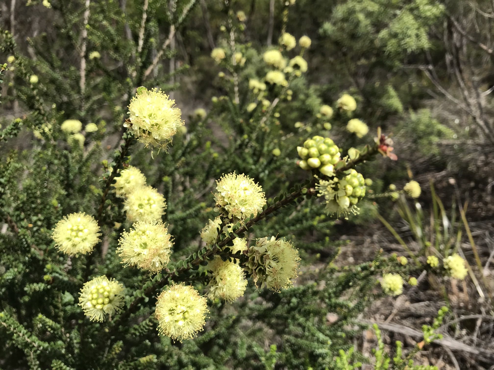
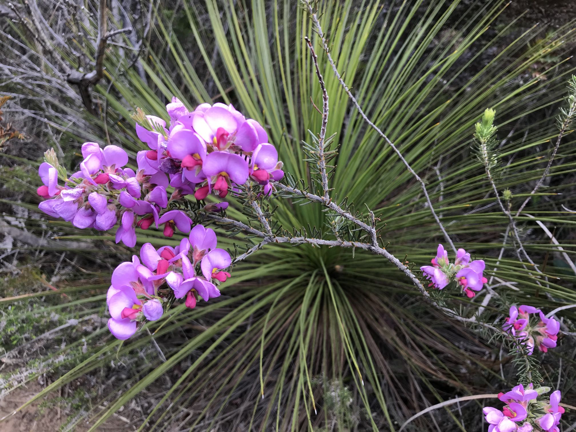
Wildflowers in the Stirling Range |

|
|
Pincushion Hakea, one of the more spectacular of the Western Australian native plants.
Photo Canon PowerShot S2 IS, 2006/05/16 |
Photo iPhone 7, 2018/10/05
Photo iPhone 7, 2018/10/05
In the background is a yacca (Xanthorrhoea). Photo iPhone 7, 2018/10/05
Photo 2009/10/08
|
|
|
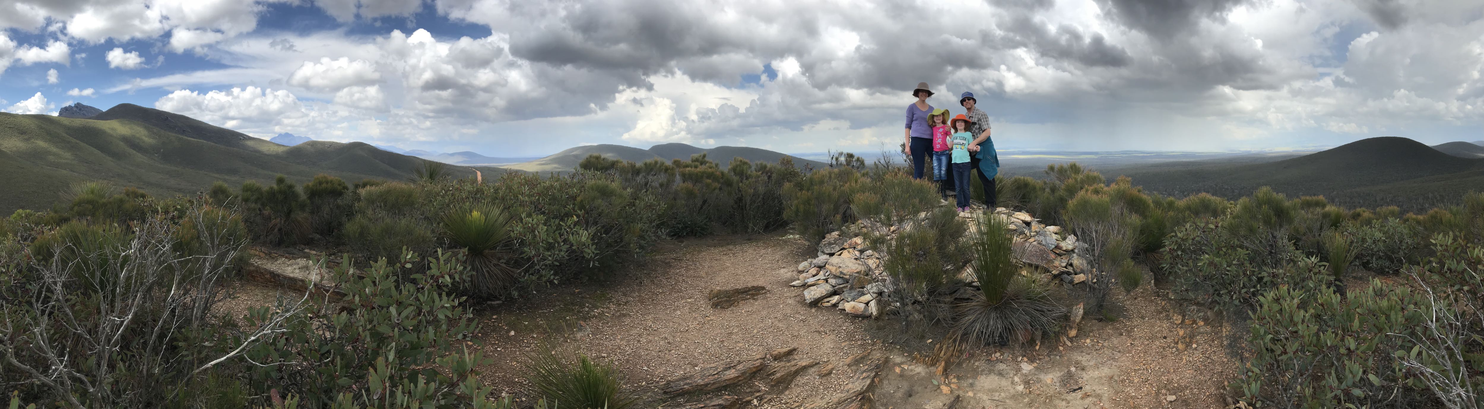
A panoramic view of the Stirling Range.
My daughter and her family in the foreground; possibly Bluff Knoll in the far distance left of centre. Photo iPhone 7, 2018/10/05 |
|
|
|
|
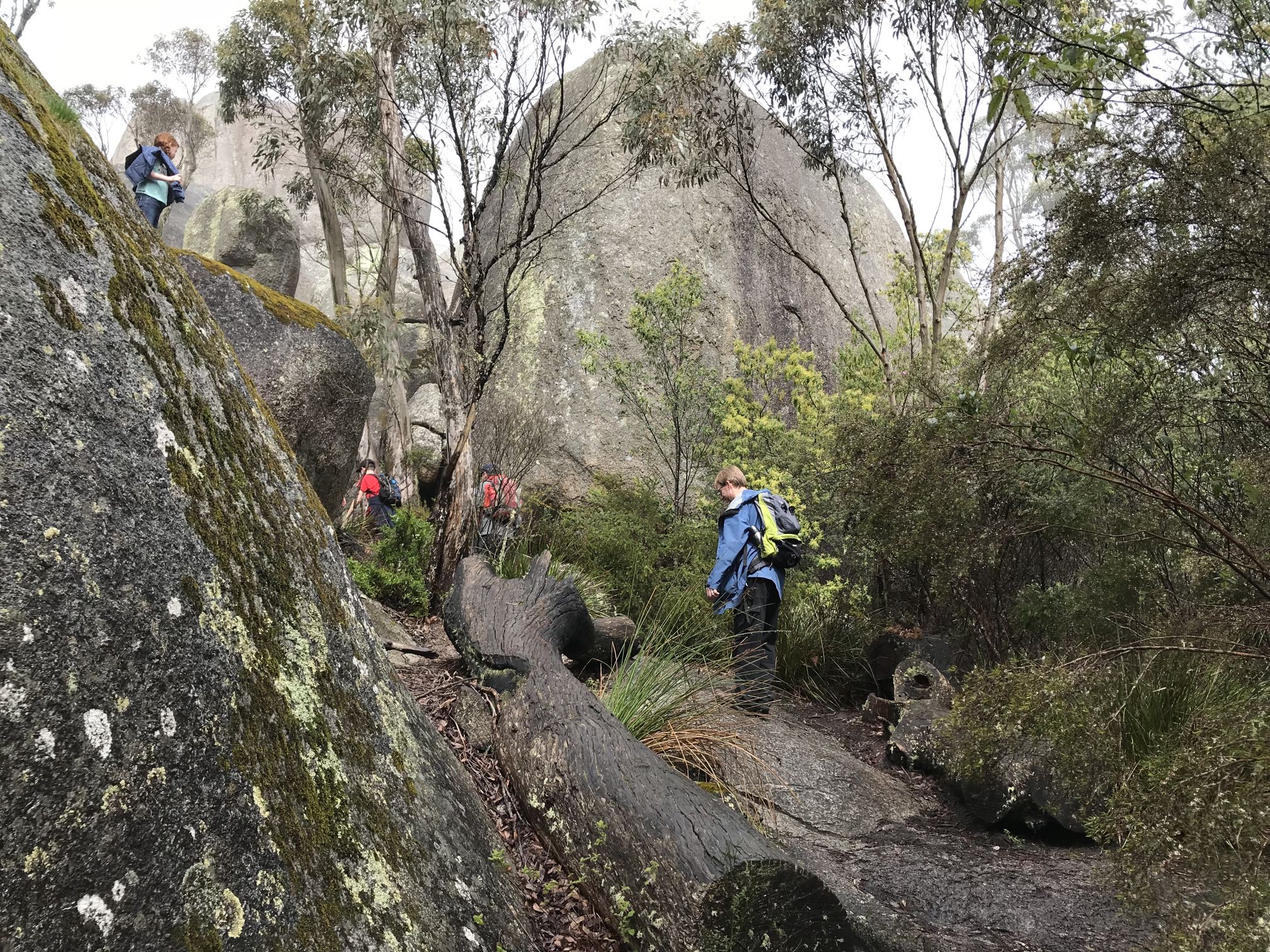
A panoramic view from Castle Rock in the Porongurup Range, I think toward the west.
The Stirling Range is north of the Porongurups, even more attractive although far less developed for tourism. The Porongurup area has several wineries, restaurants, caravan parks and other developments. Photo iPhone 7, 2018/10/06 |

|
|
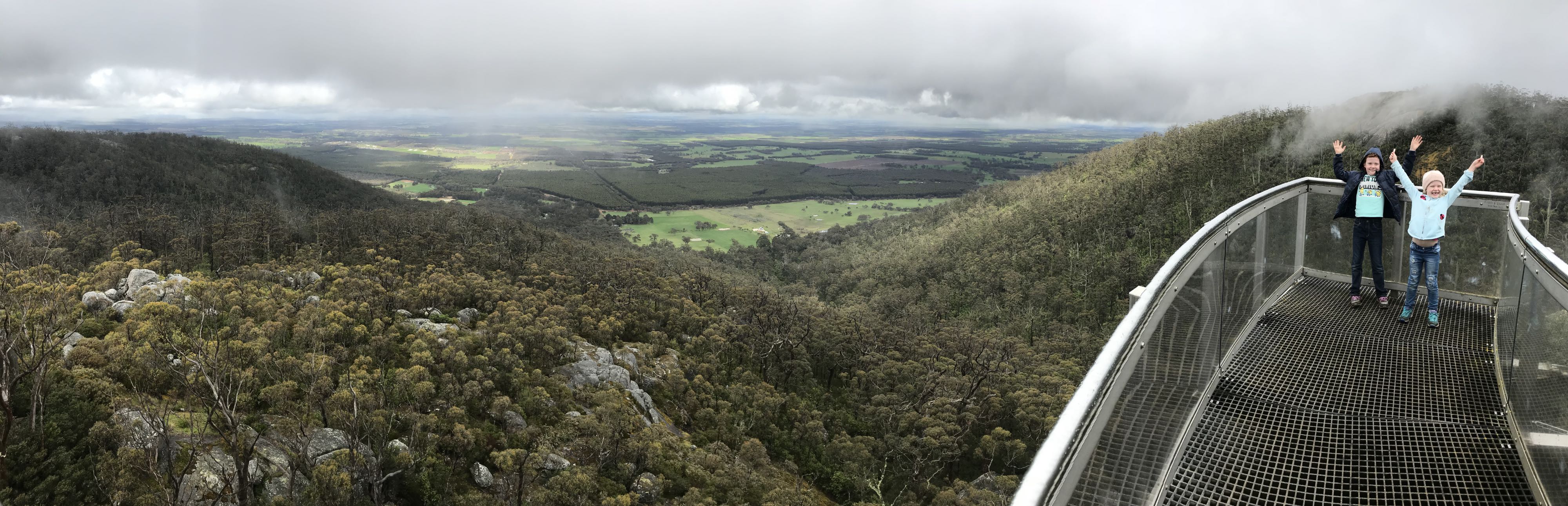
A panoramic view from Castle Rock possibly toward the north or NNE. The last part of the climb is up ladders. Anyone not wanting to use the ladders can get good views from the lower walkway visible in the lower right of this view.
Photo iPhone 7, 2018/10/06 |
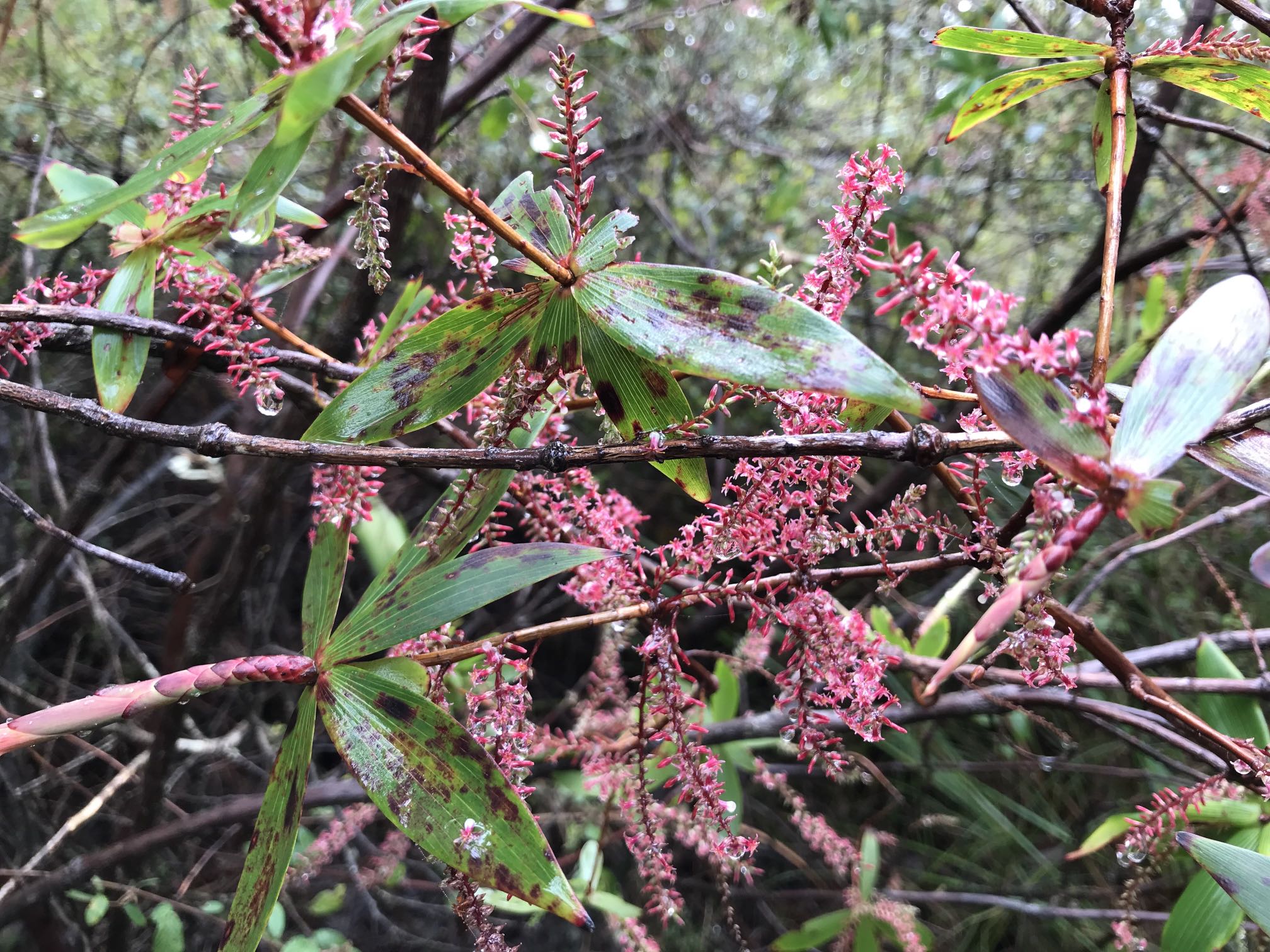
Photo iPhone 7, 2018/10/06
In the foreground is, I think, woolly bush, Adenanthos sericeus.
Photo Canon PowerShot S2 IS, 2006/05/17
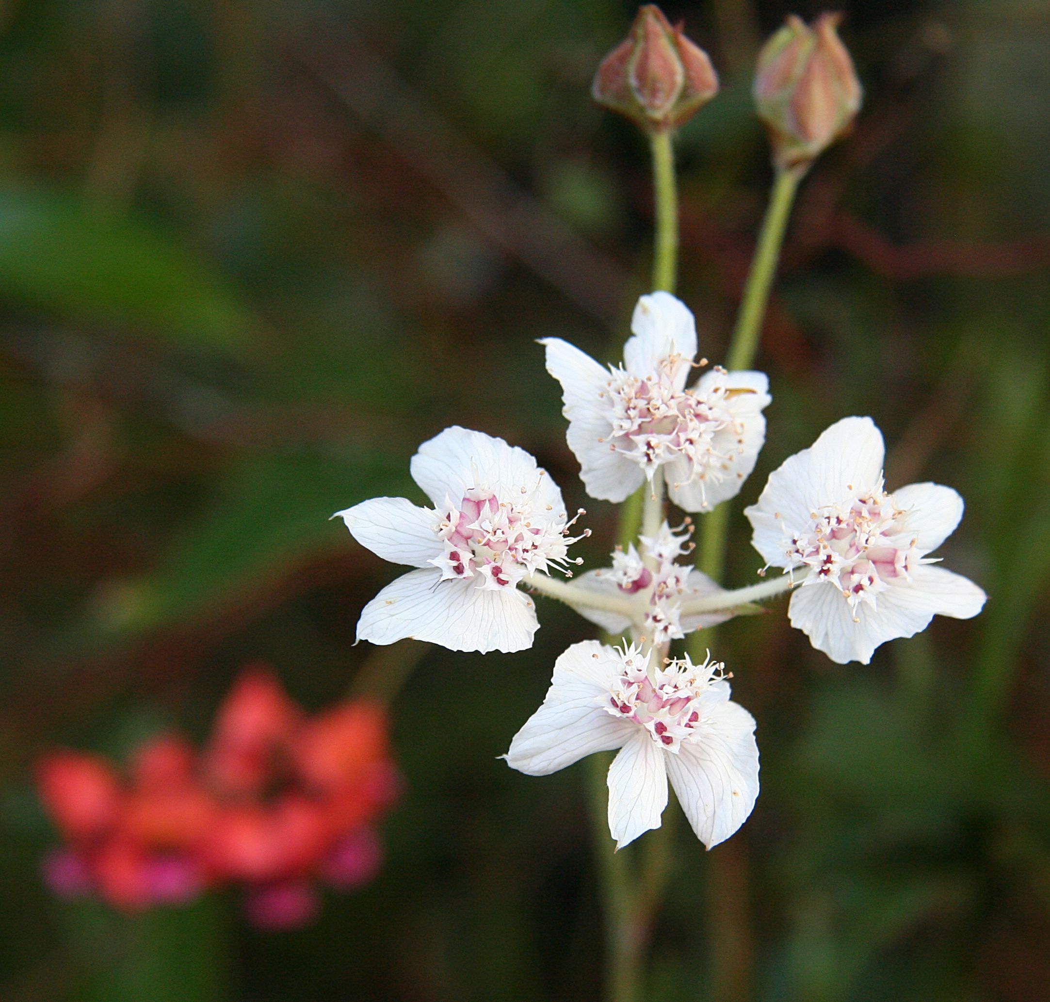
Wildflowers, Porongurup Range
The photo was taken on the climb up to Castle Rock with an iPhone 7, 2018/10/06
I would have liked to have more time to photograph wildflowers in both the Porongurups and Stirling Range on this visit, but as I was with my wife, daughter and daughter's family I had to 'keep up with the crowd'. Photo iPhone 7, 2018/10/06
Denmark, south coast |
|
|
An early morning view of Wilson Inlet south of the small southern coast town of Denmark.
Photo Canon PowerShot S2 IS, 2006/05 |
Photo Canon PowerShot S2 IS, 2006/05/18
Photo Canon PowerShot S2 IS, 2006/05/17
Photo Canon PowerShot S2 IS, 2006/05/17
|
|

|
|
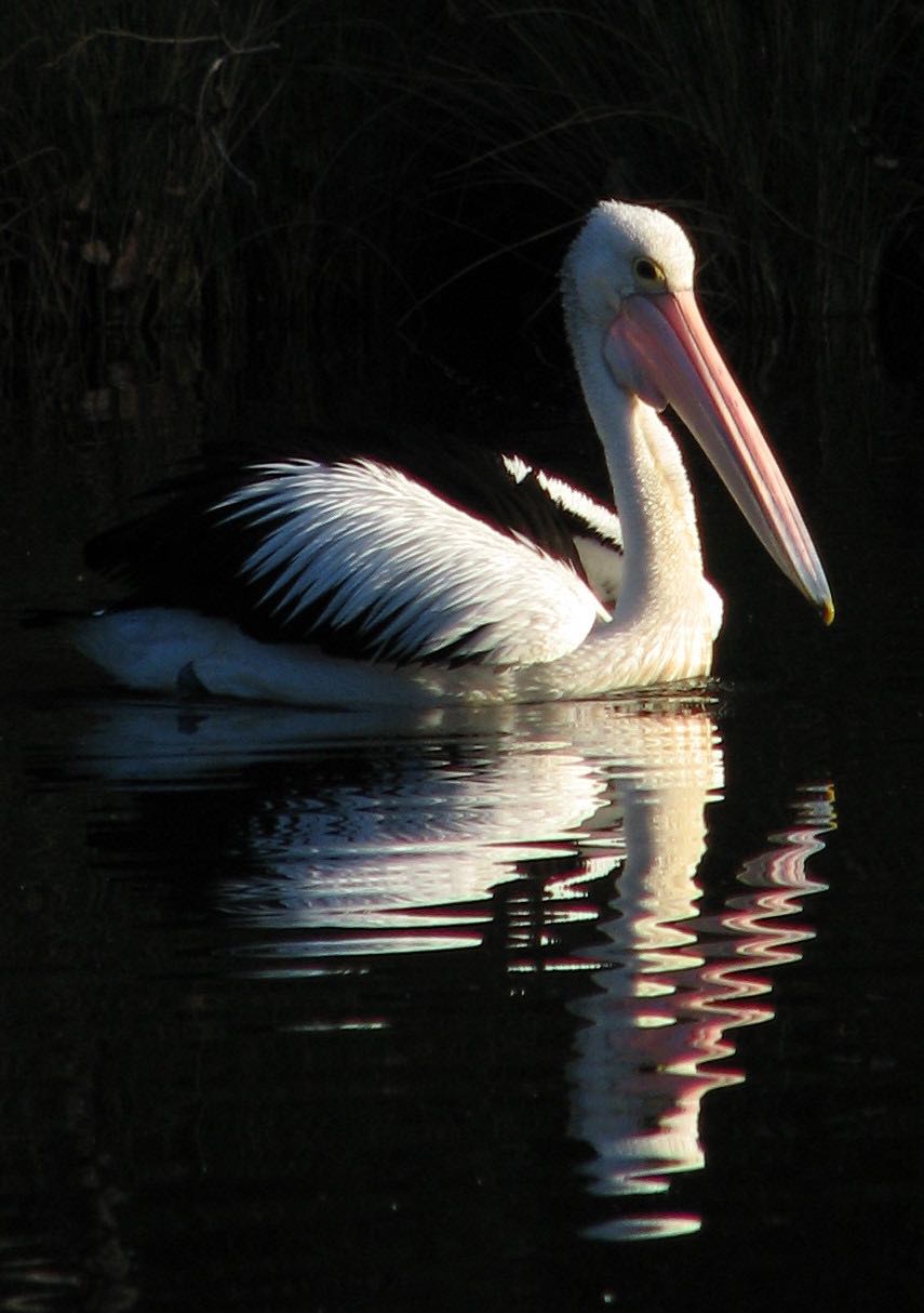
Australian pelican and silver gull (Chroicocephalus novaehollandiae or Larus novaehollandiae) on the Denmark River.
Photos Canon PowerShot S2 IS, 2006/05/17 |
Photo Canon PowerShot S2 IS, 2006/05/17
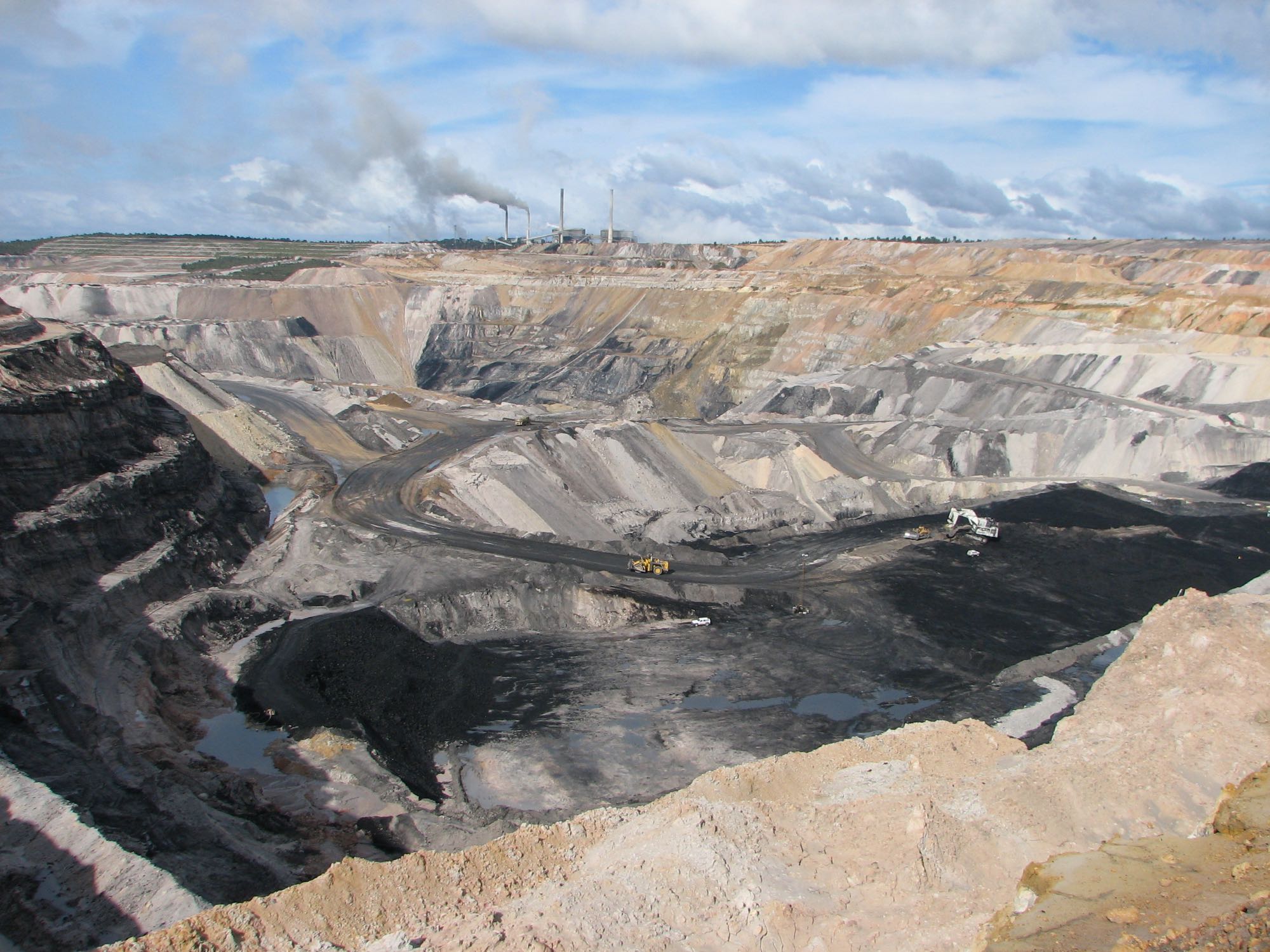
Coal mine, Collie
The Blue Waters power station has two 233 megawatt turbines. At the time of writing the state Liberal Opposition in WA had ambitions of closing down this, and the only other coal fired power station in the state. Australia's energy future is with renewable energy although various federal Liberal/National coalition governments, including the Morrison government, in power at the time of writing, are doing everything they can to support the dying coal industry and fossil fuels in general.
Photo Canon PowerShot S2 IS, 2006/05/15
|
|
|

|
|
The Gravity discovery Centre, 20 kilometres west of Gingin and 70 kilometres north of Perth has been involved in the hundred year quest to detect gravitational waves. The detection of gravitational waves was one of the more recent of the milestones in the development of human society.
Einstein predicted gravity waves in the early twentieth century but they were not detected until 2016. This discovery allowed humanity to observe events in the Universe in a new and totally different way. Previously observations were limited to the electromagnetic spectrum, sub-atomic particles, meteorites and space exploration. Photo iPhone 7, 2018/04/19 |
Photo iPhone 7, 2018/04/19
The roof of this building rolls away while the viewings take place. Photo iPhone 7, 2018/04/19 |
|
|
Eucla, in the far southeast of WA
Wikipedia provides a substantial article on the town and telegraph station. I don't recall, but think that this photo must have been taken in the late afternoon, judging by my wife's shadow and the sea in the background (it must have been taken facing the south).
Photo iPhone 7, 2006/06/02
|
|
|
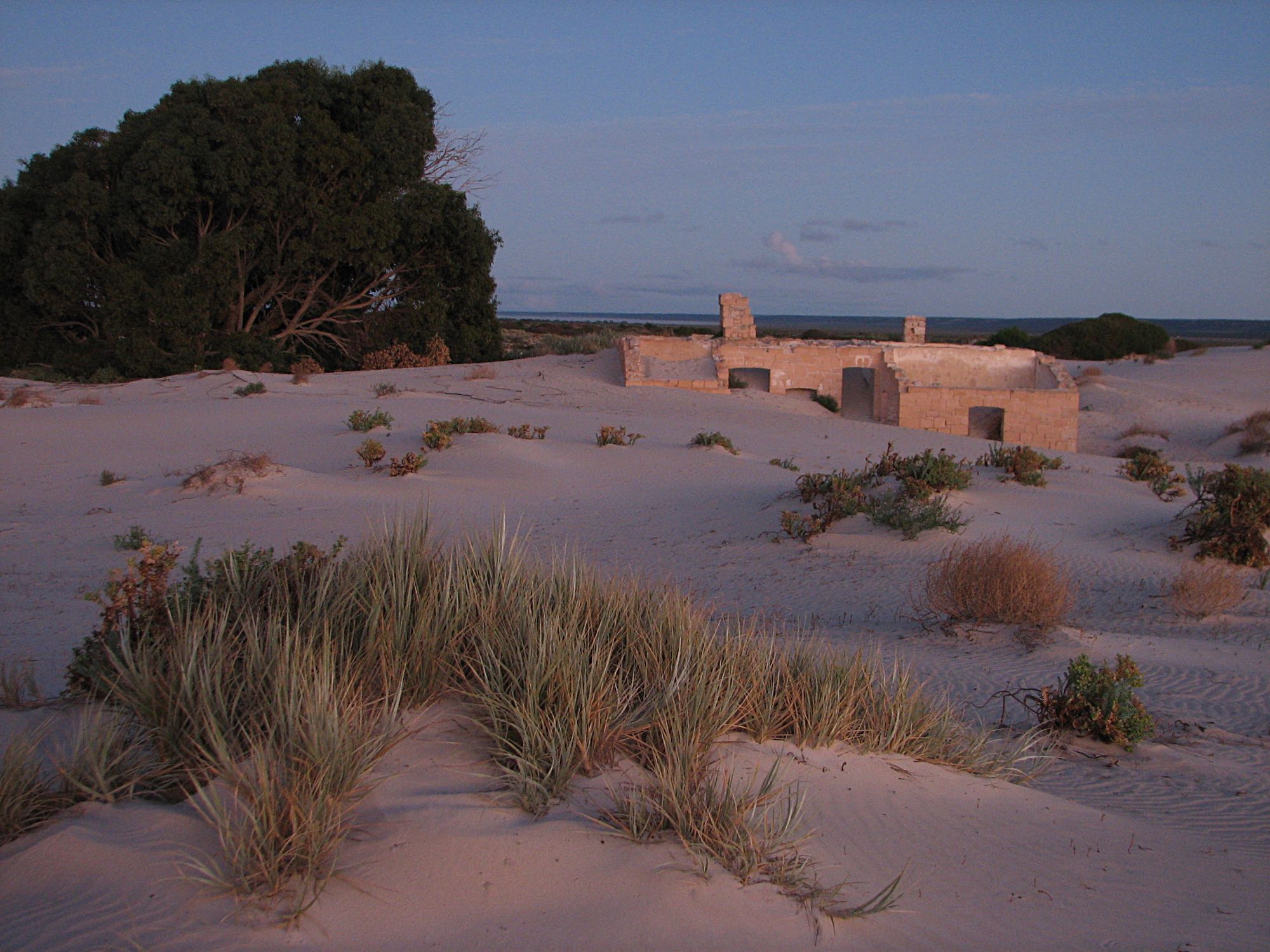
The old Eucla telegraph station, about sunset.
Photo iPhone 7, 2006/06/02 |
Photo iPhone 7, 2006/06/02
Photo iPhone 7, 2006/06/03
We were on our way home from Western Australia to South Australia. Sometimes these dunes are depicted as desert dunes. There are no desert dunes in this area so far as I know. Certainly there are many in various Australian deserts, but all the Australian desert dunes I've seen are fairly well vegetated, not mostly bare like these. There are dunes on Kangaroo Island at a place called Little Sahara. Certainly they couldn't be called desert dunes, the area gets a substantial annual rainfall. They are about three kilometres from the coast, with quite a lot of vegetated land in between. Photo iPhone 7, 2006/06/03 |
|
|
Cameras used for the photos on this pageThe more recent photos:
|
Related pagesOn this site...
A list of photo pages of places outside of Australia A list of photo pages of places in Australia Bowman Park, Crystal Brook, SA Climate change, the world's great threat and challenge Crystal Brook's Central Park, SA Fleabane in the Len Howard Conservation Park The Flinders Ranges of South Australia, a compilation of photos with comments The Grampians |
|
|